Tuscany, Italy 1992 - During October and November 1992, heavy rains hit the area of Florence (Italy), causing several floods especially in the marshy areas at the north-eastern part of Mt. Piasani.
Two SAR images were acquired over the area, before and during the event, highlighting flooded areas.
|
Event Timeline |
|
ERS-1 SAR multi-temporal images |
|
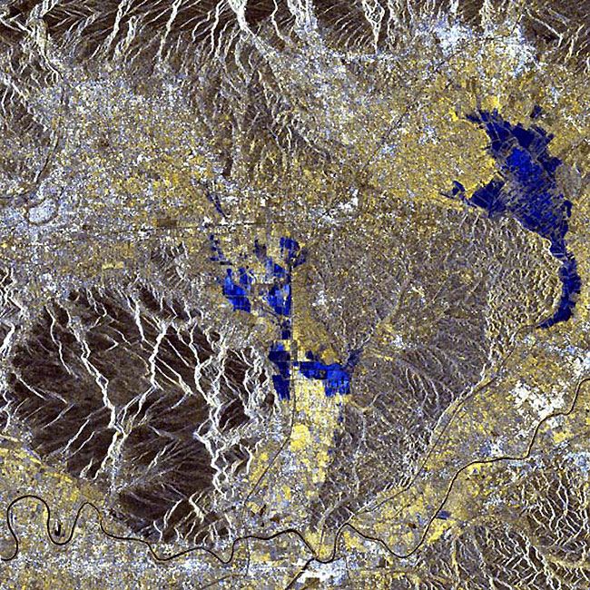
This image shows the towns of 'Padule del Fucecchio' and 'La Navarecchia' (highlighted in blue), in between Pisa and Florence. The Arno River is also visible at the bottom of the image. |
|
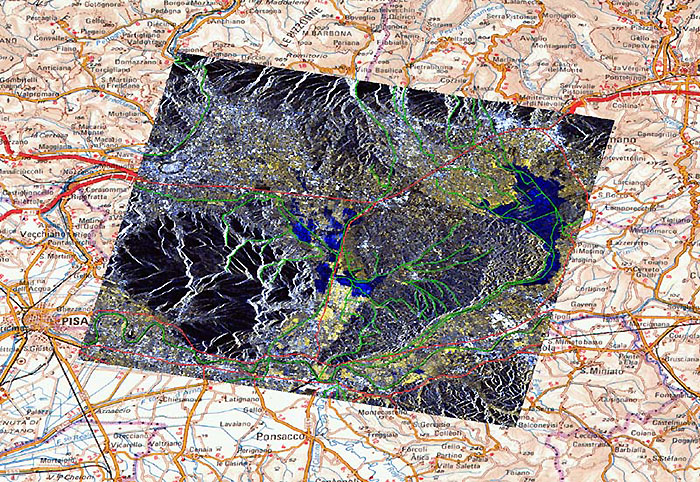
This image is geo-coded and superimposed onto a topographic map of the area. The main rivers, channels and roads have been highlighted in this image. |
|
Topographic map scale 1:250,000 |
|
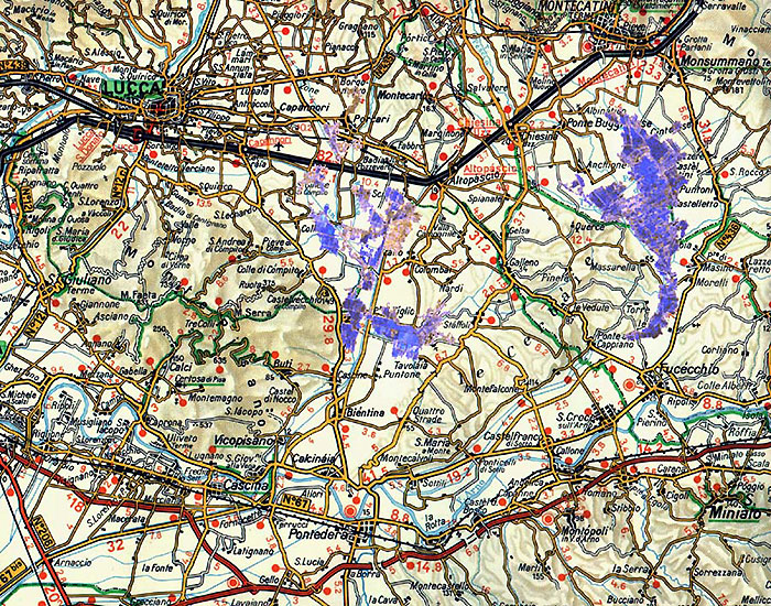
This image has been superimposed onto a more detailed map. |
|
Topographic map scale 1:200,000 |
|
Technical Information |
|
Satellite: |
ERS |
|
Instrument: |
Synthetic Aperture Radar (SAR) |
|
Date of Acquisition: |
17 June - 4 November 1992 |
|
Orbit: |
6823, 4819 |
|
Frame: |
2727 |
|
Acquired by: |
Fucino (Italy) |
Back to top
 Browse SAR Events by Year