On the 9th of April 2000, the Hungarian government declared parts of eastern Hungary a disaster area, allowing the release of funding to combat floods. Hungary's second largest river, the Tisza, and several tributaries flooded large tracts of land, destroying many homes and threatening hundreds of others. Hundreds of residents were evacuated.
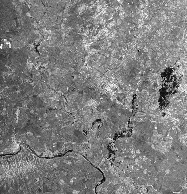
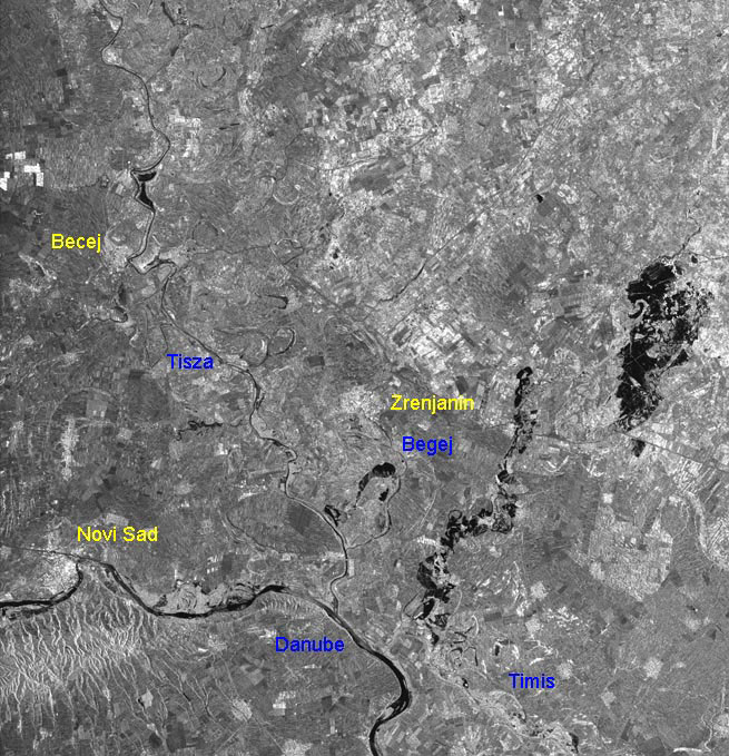
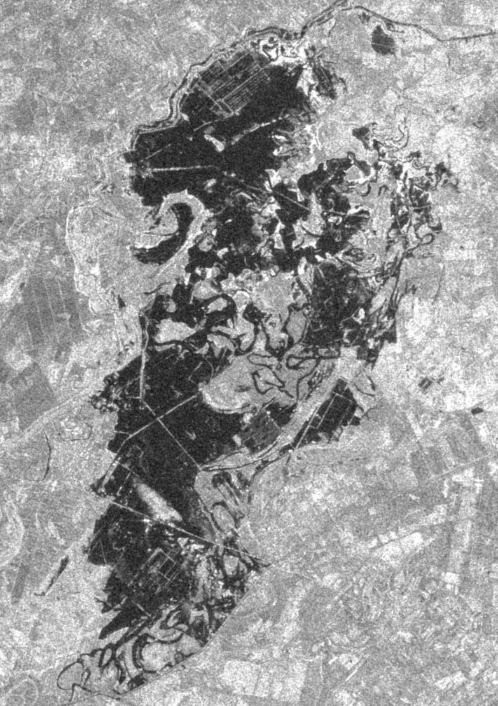
ERS SAR image acquired by Fucino on the 13 April 2000 (orbit 26042, frame 2691). The image covers an area of 100 x 100 km including a portion of the Danube river (bottom left), the town of Novi Sad and the rivers Tisza, Begej and Timis. Along these last rivers some flooded areas are quite evident (in particular the one at the right edge of the image).
Same SAR image with indications.
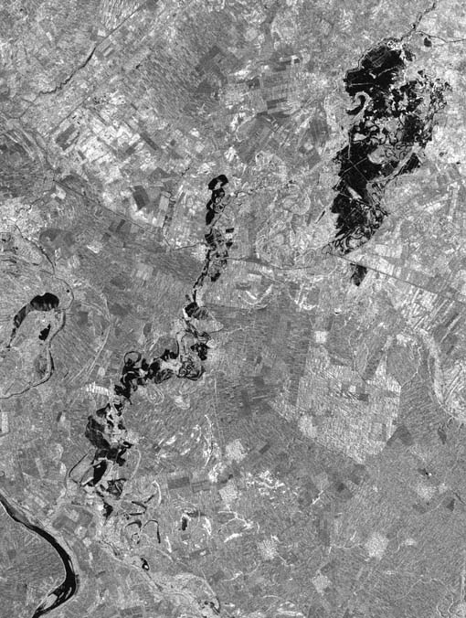
Enlargement of the image. Two large floods are evident (in black).
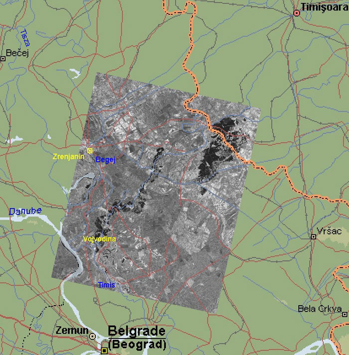
Same image with overlaid cartographic information.
Detailed view of the upper flooded area.
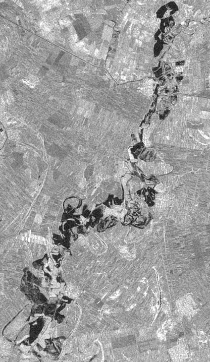
Detailed view of the lower flooded area.
|
Technical Information |
|
Satellite: |
ERS |
|
Instrument: |
Synthetic Aperture Radar (SAR) |
|
Bands combination: |
Greyscale |
|
Date of Acquisition: |
13 April 2010 |
|
Orbit number: |
26042 - Frame 2691 |
Back to top
 Browse SAR Events by Year