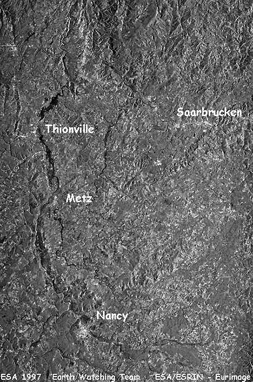
France, February 1997 - Floods struck on the boundary between Luxemburg, France and Germany.
On 27 February, ESA's ERS-2 Radar satellite acquired data over the flooded areas. These images were immediately made available online by the Earth Watching team.
|
Event Timeline |
|
ERS-2 SAR satellite images |
|
This is the first image acquired by ESA's ERS-2 Radar satellite during the flooding event in France.
|
|
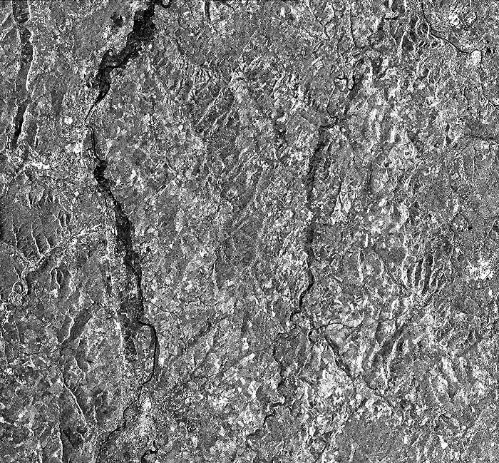
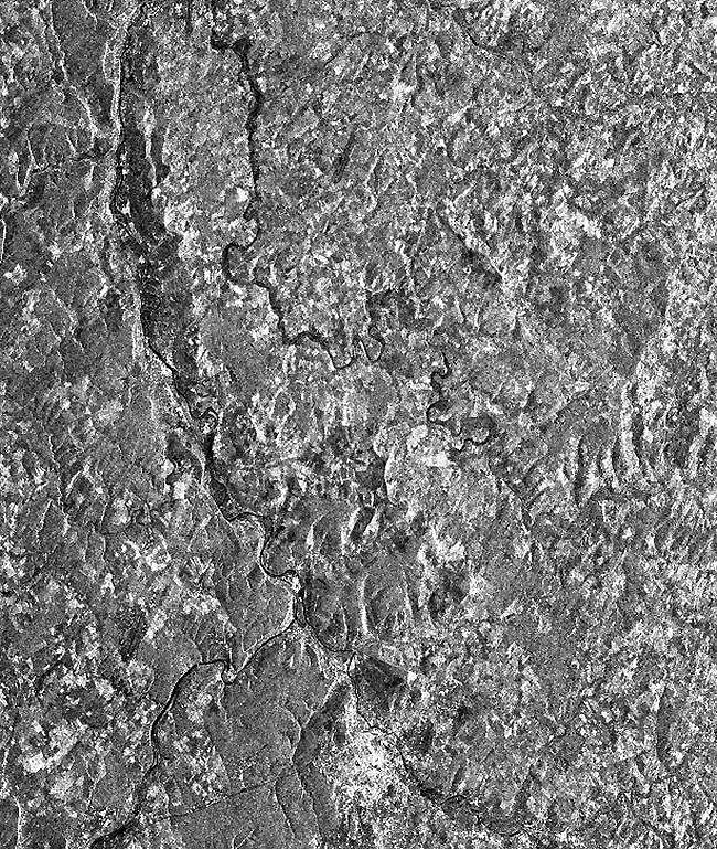
These detailed images were used to investigate the extent of the floods and damages caused over the Thionville and Nancy areas (Metz city). The high water levels are also visible from these images.
|
|
Metz city – Thionville area |
|
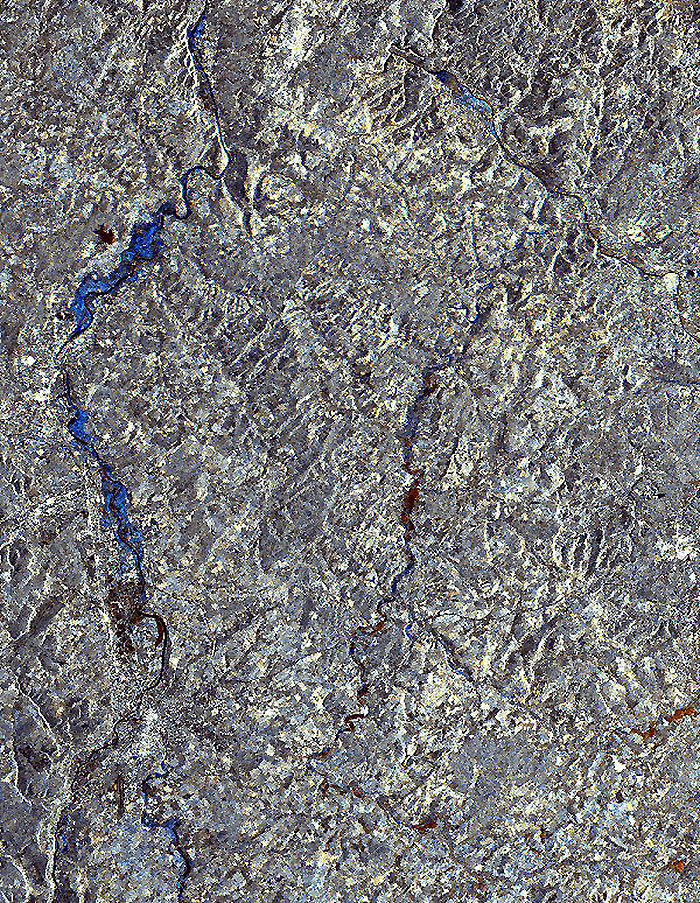
This image has been superimposed using the above images as a reference. The flooded areas are highlighted in blue.
|
|
Technical Information |
|
Satellite: |
ERS-2 |
|
Instrument: |
Synthetic Aperture Radar (SAR) |
|
Image area coverage: |
55 X 70 km |
|
Date of acquisition: |
27 February 1997 |
|
Orbits: |
9710 |
|
Frame: |
2601 |
|
Acquired by: |
Fucino (Italy) |
 Browse SAR Events by Year