- All Categories (536)
- Data (31)
- News (29)
- Missions (21)
- Events (6)
- Campaigns (42)
- Documents (407)
CAMPAIGNS
Learn about the ground-based, ship-borne, balloon-borne, and airborne campaigns and small satellite field experiments that validate orbiting ESA EO satellites and support future mission development.
Campaign
 2010 - 2011
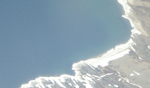
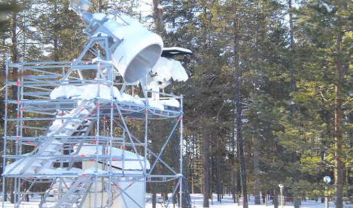
CryoVEx 2010
CryoVEx 2010 was the first CryoSat post-launch campaign to take place.
Campaign
 2007
2007CryoVEx 2007
Following the successful 2004, 2005 and 2006 campaigns, the CryoVEx2007 campaign took place in Svalbard from 15 to 25 April
Campaign
 2012
2012CryoVEx 2012
In continuation of the CryoVEx campaign in 2011, ESA initiated a second Arctic post-launch campaign in 2012 to further calibrate
Campaign
 2003
2003CryoVEx 2003
The CryoVEx (CryoSat Validation EXperiment) 2003 campaign was a first comprehensive Arctic Ocean airborne and surface campaign
Campaign
 2019
2019CryoVEx ICESat-2 Summer 2019
The ESA CryoVEx/ICESat‐2 summer campaign 2019 is an add‐on to the campaign carried out in the spring 2019, which did not
Campaign
 2008
2008POLARIS Proof of Concept 2008
The POLARIS Proof-of-Concept (PoC) 2008 campaign primarily aimed to verify the usefulness of the system for glaciological
Campaign
 2015 - 2016
AROMAT-II
This campaign covers the fields of atmospheric composition: NO2, SO2, aerosols, over Romania (Bucharest and Turceni) and
Campaign
 2010 - 2011
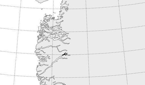
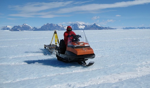
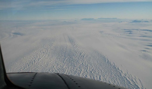
CryoVExAnt 2010/2011
The CryoVEx 2010/2011 Antartic campaign was carried out in Dronning Maud Land from 11 November 2010 to 20 February 2011.
Campaign
 2012
2012IceSAR 2012
In the frame of IceSAR 2012, airborne SAR campaigns were carried out in Greenland in support of the Biomass candidate Earth
Campaign
 2004
2004CryoVEx 2004
CryoVex 2004 was the second combined airborne and surface campaign for the preparation of the CryoSat mission, after successful
Campaign
 2018
2018BelSAR 2018
The BelSAR project intended to carry out an airborne campaign for SAR bistatic interferometric measurements at L-band and
Campaign
 2006
2006CoSMOS 2006
ESA conducted an airborne campaign to map sea surface salinity named "CoSMOS-OS" that took place in April 2006 over the Norway
Campaign
 2011
2011SnowSAR Proof Of Concept
The main objective of the SnowSAR campaign was the provision of radiometric calibrated airborne SAR data needed to characterise
Campaign
 2005
2005AquiferEx
The AquiferEx Optical and Radar Campaign was in support of information product generation based on satellite data, harmonisation
Campaign
 2002
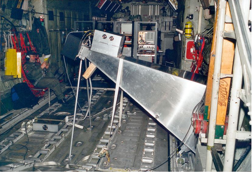
2002LaRA
To improve our knowledge of how best to measure ice thickness, the airborne Laser and Radar Altimeter campaign (LaRA) was
Campaign
 2015 - 2016
PolarGap
The primary objective of the PolarGap campaign was to carry out an airborne gravity survey covering the southern polar gap
Campaign
 2005 - 2010
CoSMOS 2005, 2007, 2008, 2010
The Campaign for Validating the Operation of SMOS (coSMOS) was designed to acquire SMOS-like data so that the algorithms
Campaign
 2011
2011POLARIS 2011
Radar Ice Sounder (POLARIS) system was flown for the first time in the Antarctic, as part of the POLARIS IceGrav Antarctic Campaign
Campaign
 2008 - 2009
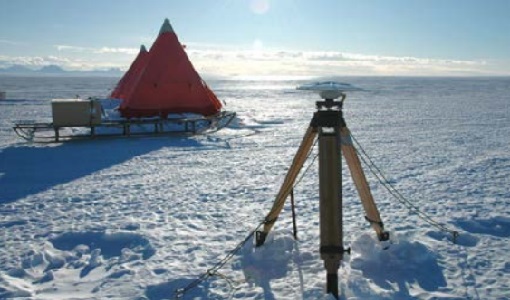
CryoVExAnt 2008/2009
The key objective of the CryoSat Validation Experiment Antarctica (CryoVExAnt) campaign is a better approximation of the
Campaign
 2007
2007IceSAR 2007
The objectives of IceSAR 2007 campaign was to acquire SAR images and complementary data over sea and land ice for preparation