- All Categories (15126)
- Data (3)
- News (21)
- Missions (26)
- Events (14)
- Tools (3)
- Activities (8)
- Documents (15051)
MISSIONS
Explore the European Space Agency's Earth Observation satellite missions. Learn all about ESA's dedicated Earth Explorers or collaborations with other agencies through the Third Party Missions programme.
Mission - Heritage Missions

MIPAS Quality Control Reports
Maps are currently available only for a limited part of the mission.
Mission - Heritage Missions

Products Availability L0
The current list of gaps in the AATSR Level 0 dataset is available here.
Mission - Heritage Missions
SCIAMACHY Auxiliary Data
In these cases, default values for the calibration parameters (Leakage current, Pixel-to-Pixel Gain and Etalon, Spectral
Mission - Heritage Missions

ERS Radar Course 1
Therefore, microwaves easily penetrate clouds, and images can be acquired independently of the current weather conditions
Mission - Heritage Missions
Products Availability L0
Last update on 29 March 2017 - Issue 1.3 Year Total orbits Products available Percentage of availability Products currently
Mission - Heritage Missions

AATSR Auxiliary Data
The Fourth Reprocessing is the first to use the FAST processor (v2.0.5) and so there is currently no historical information
Mission - Heritage Missions
SCIAMACHY Quality Control Reports
Maps are currently available only for a limited part of the mission. Read More
Mission - Heritage Missions
Products Availability L1
SCIAMACHY Level 1b products version 7.04-W Number of Orbits Year Planned Available Not recoverable* Failed or Missing Current
Mission - Heritage Missions
AATSR Products Information
Third Reprocessing Dataset Information Third Reprocessing products are currently available on the NEODC archive via CEDA.
Mission - Heritage Missions

ALOS-1 Mission Objectives
Oceanography and coastal zone-related research (oil spill, high-resolution DEM) Coastal zones, sea surface wind, wave height, wave current
Mission - Heritage Missions
Products Availability L2
7.03 Last update on 25 May 2016 - Issue 1.0 Year Total orbits Products available Percentage of availability L0 products currently
Mission - Heritage Missions
Product Anomalies L2
The status of the SCIAMACHY consolidated data sets currently available at D-PAC can be accessed here.
Mission - Heritage Missions
Products Availability L2
Orbits Year Level 1b Available L2 Generated L2 Failed Calibration Current Availability (%) 2002 1817 1702 103 11 93.67 2003
Mission - Heritage Missions
Products Anomalies
The status of the MIPAS consolidated data sets currently available can be accessed here.
Mission - Heritage Missions

MERIS Applications
altimeters, have a remarkable sensitivity to the roughness and height of the ocean surface, enabling the detection of ocean currents
Mission - Heritage Missions
Product Anomalies L1 v7 v8
The status of the SCIAMACHY consolidated data sets currently available at D-PAC can be accessed here.
Mission - Heritage Missions

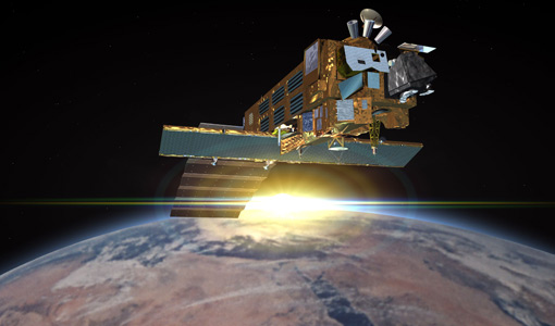
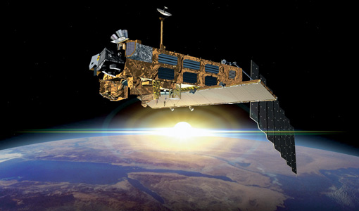
Envisat Objectives
x x Turbidity x Wave Characteristics x x Near Surface Wind x x Current
Mission - Heritage Missions
Products Availability
(TOA) brightness temperature (BT) values for the infra-red channels and reflectance values for the visible channels is currently
Mission - Heritage Missions
DORIS Overview
Map of the current DORIS network Installation and maintenance of the network was performed by the IGN (French national geographic
Mission - Heritage Missions
ERS Radar Course 2
Therefore, microwaves easily penetrate clouds, and images can be acquired independently of the current weather conditions