- All Categories (196)
- News (6)
- Missions (6)
- Events (8)
- Activities (6)
- Documents (170)
Mission - Earth Watch
Vegetation (VGT) Quality Control Reports
months and provide information about: Absolute and inter-band radiometric accuracy Multi-temporal radiometric accuracy Dark current
Mission - Earth Watch
Vegetation (VGT) Processor Releases
The current processor software version, used for a full reprocessing of the PROBA-V archive and also for the operational
Mission - Earth Watch
Vegetation (VGT) Cal/Val
Greenland (only during June/July): during one week daily acquisitions in uncompressed mode Weekly Calibration acquisition Dark current
Document - General Reference
Third Party Missions Brochure
This brochure summarises ESA's Third Party Missions programme, providing a timeline and examples of content related to some of the missions.
Document - Technical Note
The SeaSat-A Synthetic Aperture Radar System
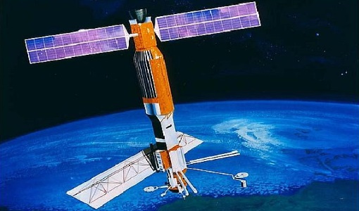
The SeaSat-A synthetic aperture radar imaging radar system (SAR) was the first imaging radar system used as a scientific instrument from Earth orbit. The system generated continuous radar imagery with a 100 km swath at a resolution of 25 m from an 800 km altitude orbit. The imagery is a pictorial representation of the radar backscatter of the Earth's surface in a map-like representation.
Document - General Reference
The Earth Observation Handbook, 2010 Update - Key Tables
This is the 2010 update of the CEOS Earth Observation Handbook. You can browse the live database at http://database.eohandbook.com/ or download the printable PDF of key tables based on the 2010 database contents for a handy reference.
Document - Technical Note
Technical Note on Quality Assessment for Landsat 1-7
Technical Note on Quality Assessment for Landsat 1-7
Document - General Reference
surface-reflectance-aerosol-properties-proba-v-observations-abstract.pdf
Joint Retrieval Of Surface Reflectance And Aerosol Properties: Application To Proba-V Observations
Activity - Quality
SLAP
Currently, in excess of 701,000 Level 1 TM and 84,000 Level 1 ETM+ products have been reprocessed and released under the
Document - Technical Note
SeaSat-SAR-IPF-Data-and-Processing-Issues.pdf
This document describes the rehabilitation and reprocessing of ESA’s historic SeaSat raw data archive.
Mission - Heritage Missions
Seasat Objectives
wealth of information on diverse ocean phenomena such as sea-surface winds and temperatures, surface and internal waves, currents
Mission - Heritage Missions
Seasat
The instrument had the objectives of the determination of sea surface profiles, currents, wind speeds and wave heights.
News - General News
Quality Reports Advanced Search Portal takes off
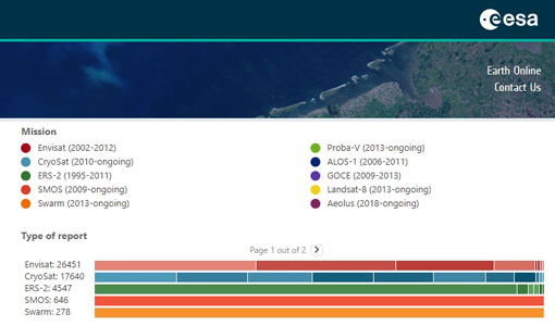
The system by default will show the reports for the current month, but the user can easily choose a different type of visualisation
Document - General Reference
PV-LAC-COAST-VR-v2.0.pdf
This is the second version (V2) of the Validation Report for the PV-LAC coastal activities.
Document - General Reference
PV-LAC-COAST-SR-v1.1.pdf
In the frame of the PV-LAC project a prototype code has been developed, tested and validated for the atmospheric correction (A/C) and turbidity retrieval of PROBA-V data over turbid coastal areas.
Document - General Reference
PV-LAC-COAST-RBD-v1-1.pdf
The aim of this document is to make a critical review of the algorithms for TSM retrieval and atmospheric correction in turbid coastal waters, to identify the most suitable method (TSM and A/C method) for PROBA-V, to define the validation approach (including identification of the validation data and test sites) and to assess the utility and benefits of 100m coastal products through interaction with the user community.
Document - General Reference
PV-LAC-COAST-ATBD-IODD-v1-0.pdf
This is the first version (V1) of the ATBD and IODD.
Activity - Instrument characterisation and algorithm studies
PV-LAC-COAST
In the North Sea study area there are three Buoys currently in operation.


