- All Categories (13506)
- Data (5)
- News (47)
- Missions (46)
- Events (30)
- Activities (7)
- Campaigns (6)
- Documents (13365)
Mission - Third Party Missions

WorldView Series
Owned by Maxar, the first three satellites in the series are currently operational, and they have been supplying imagery
Event - Workshop

Workshop on International Cooperation in Spaceborne Imaging Spectroscopy
Other objectives included: Assess the status of current and planned international imaging spectroscopy missions for terrestrial
Campaign
WaddenSAR
The main objective of the campaign was to demonstrate the Harmony mission concept and information products on surface currents
Event - Meeting

VH-RODA and CEOS SAR workshop
The workshop provided an open forum for the presentation and discussion of current status and future developments related
Event - Workshop
VH-RODA 2024
provides an open forum (for the new space, commercial and institutional space sectors) for presenting and discussing the current
Event - Workshop
VH-RODA 2023
provided an open forum (for the new space, commercial and institutional space sectors) for presenting and discussing the current
Event - Workshop
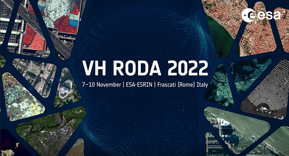
VH-RODA 2022
provide an open forum (for the new space, commercial and institutional space sectors) for presenting and discussing the current
Document - Software Verification Plan/Report

Verification Report SGP OL v5-0 SCIAMACHY Level 1b to 2 processing
Mission - Earth Watch
Vegetation (VGT) Quality Control Reports
months and provide information about: Absolute and inter-band radiometric accuracy Multi-temporal radiometric accuracy Dark current
Mission - Earth Watch
Vegetation (VGT) Processor Releases
The current processor software version, used for a full reprocessing of the PROBA-V archive and also for the operational
Mission - Earth Watch
Vegetation (VGT) Cal/Val
Greenland (only during June/July): during one week daily acquisitions in uncompressed mode Weekly Calibration acquisition Dark current
Document - Product Cal/Val Plan/Report

Validation Report following the 3rd MERIS data reprocessing
This document prepared by the MERIS Quality Working Group (QWG) corresponds to the Validation Report following the 3rd MERIS data reprocessing. It aims at qualifying and quantifying the accuracy of the MERIS L2 products generated with the version 8.0 of MERIS Ground Segment prototype (MEGS), delivered to the whole community through the ODESA software (http://earth.eo.esa.int/odesa/). It is equivalent to version 6.0 of the Instrument Processing Facilities (IPF) at ESRIN.
Document - Product Cal/Val Plan/Report
VALID Final Report 2008-2010
Report of VALID project: Final Report 2008-2010
Document - Product Cal/Val Plan/Report
VALID Annual Report 2008
Validation of GOMOS version ozone profiles using ground-based lidar observations
Document - Technical Note

UWA Processing Algorithm Specification
This technical note specifies version 2 of the algorithm to derive SAR wave spectrum products from ERS AMI wave mode data.
Document - User Guide

User Manual - LEDA 13 Landsat
This infosheet describes the Landsat databank. The databank is a catalogue of imagery remotely sensed by the Landsat series of satellites (Landsat l to 5) available at ESA/Earthnet and acquired at Fucino (Italy), Kiruna (Sweden) and Maspalomas (Canaries).
Document - Publication - Paper

Uniqueness of the ERS Scatterometer for nowcasting and typhoon forecasting
Paper presented to IGARSS-2005: Uniqueness of the ERS Scatterometer for nowcasting and typhoon forecasting
Event - Workshop
Understanding the Carbon and Water Cycles using SMOS Data and Models
main land interactions and their impacts on the Earth system and climate by exploiting SMOS observations; To review the current