- All Categories (26)
- News (5)
- Missions (3)
- Events (1)
- Tools (1)
- Activities (2)
- Documents (14)
News - Thematic area articles
How satellite data empower sustainable urban growth
Some 56% of the world's population currently reside in cities and the number of urban inhabitants is expected to double by
News - Success Stories

Heritage data trains neural networks to detect urban sprawl
Since they’ve been trained identically, they can help monitor both current and past urban changes.
Event - Training

EO Summer School 3
In line with observations it shows anti-cyclonically rotating surface currents and cyclonically rotating bottom currents.
Document - General Reference

Heritage Missions brochure
This brochure describes ESA's Heritage Space Programme and includes infographics describing some of the missions in the programme.
Document - Technical Note

Technical Note on Quality Assessment for Landsat 1-7
Technical Note on Quality Assessment for Landsat 1-7
News - Success Stories

A stroll through Heritage Missions
In the current digital era, this confirms ESA’s commitment to maintain heritage data and keep information available, in support
Mission - Third Party Missions
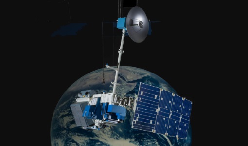
Enhanced Thematic Mapper Plus (ETM+) Processor Releases
GCP displacement B TM radiometric calibration Update to radiometric calibration strategy for TM reflective bands (Dark Current
Mission - Third Party Missions

Multi Spectral Scanner (MSS) Processor Releases
GCP displacement B TM radiometric calibration Update to radiometric calibration strategy for TM reflective bands (Dark Current
Mission - Third Party Missions

Thematic Mapper (TM) Processor Releases
GCP displacement B TM radiometric calibration Update to radiometric calibration strategy for TM reflective bands (Dark Current
Document - Product Specifications

Landsat-TM-ETM-CEOS-ESA-Products
This document describes the standards used by ESA for the distribution of the TM and ETM+ (Thematic Mapper and Enhanced Thematic Mapper) optical sensor products.
Activity - Quality

EDAP
The following missions are currently being considered as part of the Automatic Identification System (AIS) and Radio Frequency
Document - Product Document

landsat-products-description-document.pdf
LANDSAT Products Description Document
Activity - Quality
SLAP
Currently, in excess of 701,000 Level 1 TM and 84,000 Level 1 ETM+ products have been reprocessed and released under the
Document - User Guide

KOMPSAT-2 Image Data Manual
The KOMPSAT-2 Image data Manual was designed and produced by KARI.This document intends for users of data supplied by KOMPSAT-2, andincludes basic information about the KOMPSAT-2 system, processing& specification of KOMPSAT-2 imagery data and a brief overview& evaluated values of the theoretical concepts of imagequality.
Document - General Reference
The International Charter- Space and Major Disasters
The Charter is an important step forward in linking the needs of disaster and relief organisations with space technology solutions to help mitigate the effects of disaster on human life, property and the environment.
Tools - Visualisation
HEDAVI
ESA’s Heritage EO data currently cover more than 30 years of observations and enable the analysis of spatio-temporal dynamics
News - Operational News

Landsat-8 web portal now available on new environment
Reprocessed (Tier 1 and Tier 2) products from Matera and Kiruna stations, May 2013 - December 2018; some time windows are currently
News - Success Stories

Satellite data allows real-time detection of potential fires
availability, ESA is moving from the classical Landsat 8 L1 production towards the testing of new Real Time processing pilot that currently
Document - Product Document
Landsat-7-Level-1-Product-Output-Files-Data-Format-Control-Book
This Data Format Control Book (DFCB) provides the user with a high-level description of the Landsat 7 Level 1 (L1) distribution product, product packaging, and viewing tools.
Document - Product Document
LANDSAT_Products_Description_Document.pdf
This document acts as a User Guide to the Landsat MSS, TM and ETM+ archives, focussing more specifically on the Landsat TM and ETM+ products from the Kiruna, Maspalomas and Matera archives (including from the Matera, Fucino, Neustralitz, O’Higgins, Malindi, Libreville and Bishkek ground stations) that have been generated as part of the ESA archive bulk-reprocessing project.