- All Categories (28)
- News (7)
- Missions (11)
- Events (8)
- Documents (2)
News - Thematic area articles

Transforming space data into climate action
By combining high-quality data from both current and previous missions, scientists are improving their understanding of the
News - Success Stories
Trailblazing ERS-2 mission enables climate change applications
Varied elevations of Bachu in western China InSAR is currently one of the most accurate methods to generate digital elevation
Event - Workshop

Space and the Arctic 2009 Workshop
possibilities for the future : Volker Liebig, Director of ESA EO Programme Observations of the Arctic - EUMETSAT's Contribution to Current
News - Infographics
Showcasing success stories from ESA's Heritage Missions
success stories showcased used data from ESA's ERS (European Remote Sensing) and Envisat satellites in combination with current
Document - Proceedings

SEASAR-2012-sessions-summaries-seed-questions-recommendations.pdf
This document gathers together the sessions summaries with seed questions discussion and recommendations of the SEASAR 2012 workshop.
Event - Workshop

SEASAR 2012
Aouf 14:00 - 14:20 Towards consistent inversion of wind, waves and surface current from SAR Bertrand Chapron (IFREMER, France
Event - Workshop
SEASAR 2008
of the workshop were: Wave mode processing algorithms, product validation and assimilation Ocean Wind applications Ocean Current
News - Thematic area articles

Satellites reveal changes to Earth’s icy zones
By combining information collected by current and previous missions, researchers can estimate how the cryosphere is evolving
News - Thematic area articles

Satellite data central to ocean monitoring
microwave monitoring instruments, optical imagers, and infrared radiometers, which can map ocean variables related to ocean currents
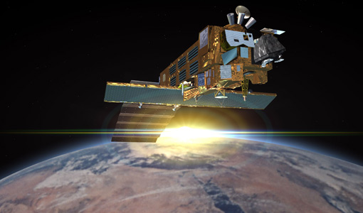
Mission - Heritage Missions

RA (ERS) Products Information
data showed a clear improvement in terms of accuracy over the tandem periods between ERS-1, ERS-2 and Envisat missions (currently
Mission - Heritage Missions

RA (ERS) Overview
demanding constraints and had the following major objectives: Precise altitude (ocean surface elevation for the study of ocean currents
Mission - Heritage Missions

RA (ERS)
the RA provided information on significant wave height; surface wind speed; sea surface elevation, which relates to ocean currents
News - Success Stories

How Envisat helped to shape global understanding of Earth’s systems
including melting Arctic sea ice, global sea level rise, fluctuations in the extent of the Antarctic ozone hole, and ocean currents
News - Data Release news

ESA's (A)SAR dissemination service enhanced with Envisat ASAR MR L1 data
Note that the ESA EO Data Gateway service currently providing access to the Envisat ASAR MR Level 1 data is being phased
Mission - Heritage Missions

ERS Radar Course 3
Therefore, microwaves easily penetrate clouds, and images can be acquired independently of the current weather conditions
Mission - Heritage Missions
ERS Radar Course 2
Therefore, microwaves easily penetrate clouds, and images can be acquired independently of the current weather conditions
Mission - Heritage Missions
ERS Radar Course 1
Therefore, microwaves easily penetrate clouds, and images can be acquired independently of the current weather conditions
Mission - Heritage Missions

ERS Overview
global scale, the two ERS satellites expanded our understanding of the interaction between the oceans and atmosphere, ocean currents
Event - Training

EO Summer School 7
Keynote lectures on global change issues are also given to discuss the current state of the science of global change and