- All Categories (32)
- News (10)
- Missions (1)
- Events (3)
- Tools (2)
- Activities (2)
- Documents (14)
Event - Meeting
VH-RODA and CEOS SAR workshop
The workshop provided an open forum for the presentation and discussion of current status and future developments related
Activity - Quality
EDAP
The following missions are currently being considered as part of the Automatic Identification System (AIS) and Radio Frequency
News - Thematic area articles
How satellite data help to shape society
Title: Current drought situation in Ebro basin Description: The SMOS soil-moisture-based drought monitor is updated monthly
News - Infographics
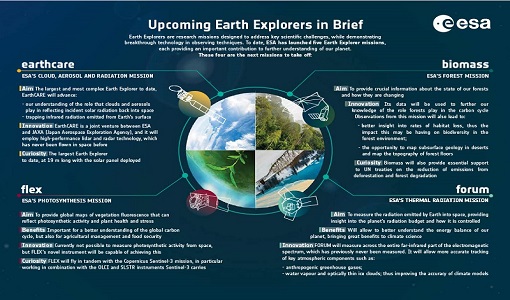
What are the next Earth Explorers?
Four more missions are currently planned - EarthCARE, Biomass, FLEX, and FORUM - which will further our understanding of
Activity - Quality
SLAP
Currently, in excess of 701,000 Level 1 TM and 84,000 Level 1 ETM+ products have been reprocessed and released under the
Tools - Visualisation
HEDAVI
ESA’s Heritage EO data currently cover more than 30 years of observations and enable the analysis of spatio-temporal dynamics
News - Operational News
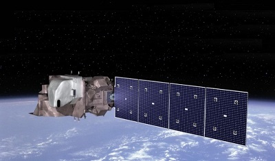
Landsat-8 web portal now available on new environment
Reprocessed (Tier 1 and Tier 2) products from Matera and Kiruna stations, May 2013 - December 2018; some time windows are currently
News - Thematic area articles
Satellite data central to ocean monitoring
microwave monitoring instruments, optical imagers, and infrared radiometers, which can map ocean variables related to ocean currents
Document - Conference Presentation - Poster
04_OCT2013_ESA-EO_programmes.pdf
ESA EO missions and their exploitation for science and applications ESA
Document - General Reference
PolInSAR-2013-session-summaries-recommendations.pdf
This document provides the session summaries and recommendations from the PolInSAR 2013 workshop.
Document - General Reference
Heritage Missions brochure
This brochure describes ESA's Heritage Space Programme and includes infographics describing some of the missions in the programme.
Document - General Reference
Earth Explorers brochure
This brochure describes ESA's Earth Explorers Space Programme and includes infographics describing some of the missions in the programme.
Document - Product Specifications
Landsat-TM-ETM-CEOS-ESA-Products
This document describes the standards used by ESA for the distribution of the TM and ETM+ (Thematic Mapper and Enhanced Thematic Mapper) optical sensor products.
Document - Product Document
LANDSAT_Products_Description_Document.pdf
This document acts as a User Guide to the Landsat MSS, TM and ETM+ archives, focussing more specifically on the Landsat TM and ETM+ products from the Kiruna, Maspalomas and Matera archives (including from the Matera, Fucino, Neustralitz, O’Higgins, Malindi, Libreville and Bishkek ground stations) that have been generated as part of the ESA archive bulk-reprocessing project.
Document - Product Document
landsat-products-description-document.pdf
LANDSAT Products Description Document
Event - Workshop
POLinSAR 2013
Snow, Land Ice and Sea Ice Monitoring Hazards: Fire Monitoring, Volcanoes, Flooding, Earthquake Other applications Past, current
News - Success Stories
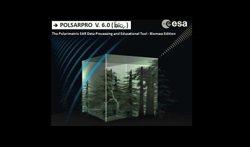
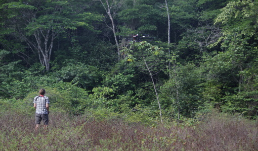
Drone-based Laser Scanning of Tropical Forests for Biomass Cal/Val
Additionally, the current GEDI mission on the International Space Station (LiDAR), the SAOCOM, NISAR, ALOS-4, and Tandem-L


