- All Categories (407)
- Data (13)
- News (41)
- Missions (2)
- Events (26)
- Tools (18)
- Activities (7)
- Campaigns (5)
- Documents (295)
NEWS
Discover the latest news on the European Space Agency's Earth Observation activities. Learn all about new data availability and how ESA's missions are performing.
News - Maintenance News
ESA EO Dissemination Services - Maintenance on 25 and 26 March 2024
Scheduled software maintenance on ESA EO Dissemination Services on 25 and 26 March 2024
News - Maintenance News
ESA Data Dissemination Maintenance - 18 January 2024
A planned software maintenance activity will affect ESA's GOCE data dissemination service on 18 January 2024.
News - General News
3D Earth Online Visuals application takes off
A new app has just been launched, enabling you to explore ESA’s satellite missions in 3D and providing a new perspective on how satellite data contribute to our understanding of Earth systems, the climate, and their interactions.
News - Success Stories
ESA Earth observation archives preserved in Arctic vault
ESA has added to its store of Earth observation records housed in a secure vault in the Norwegian Arctic, ensuring that knowledge from a crucial chapter in European remote sensing history is safeguarded for future generations.
News - Success Stories
Synergy of space data helps modernise irrigation systems
The growing demands on agriculture, coupled with the climate crisis, are pressurising Earth’s valuable freshwater resources and making assessment of water practices ever more important.
News - Success Stories
ESA missions help to reveal worldwide lake water loss trend
Climate change, human consumption and sedimentation are depleting more than half of the world’s biggest lakes of water, according to a ground-breaking analysis that drew on three decades of satellite data.
News - Thematic area articles
Remote sensing data map impacts of natural hazards
As climate change increases the frequency and severity of natural disasters, remote sensing data can warn about extreme events and help tackle emergency situations.
News - General News
Pioneering science missions: Summarising ESA’s Earth Explorers
Designed for research purposes, ESA's Earth Explorer missions are dedicated to monitoring parts of Earth’s system. Learn more about the Earth Explorers in this video.
News - Thematic area articles
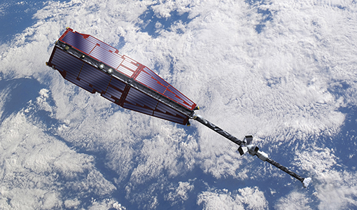
Satellites expand research on Space Weather and Sun-Earth Interactions
Earth observation data provide vital warnings about the impact of solar activity and strive to unravel the influence the Sun has on Earth’s system.
News - Data Release news
GOCE magnetometer data now available to support Swarm Sciences
We are pleased to announce the new release of magnetic field data recorded by Fluxgate magnetometers operated onboard the Gravity Field and Steady-State Ocean Circulation Explorer (GOCE) satellite.
News - General News
How SNAP facilitates access to ESA Third Party Missions data
The tool – called the Sentinel Applications Platform (SNAP) – incorporates high-quality remote sensing data from numerous missions, including those operated by the agency’s international partners, known as Third Party Missions (TPM).
News - Thematic area articles
Satellites reveal changes to Earth’s icy zones
ESA’s Earth observation activities are helping scientists investigate the influence of climate change on widespread ice-losses across the planet.
News - General News
Campaign using surface reflectance data to support validation of Earth observation products
Scientists from around the world are set to take part in a drone monitoring campaign and inter-comparison exercise that will deliver surface reflectance data to support the validation of Earth observation products.
News - Events and Proceedings
Data preservation takes centre stage at Living Planet Symposium
Against the backdrop of the famed Rhine River, world-class scientists and Earth observation data-users are gathered this week in the historical city of Bonn, at the Living Planet Symposium (LPS).
News - Thematic area articles
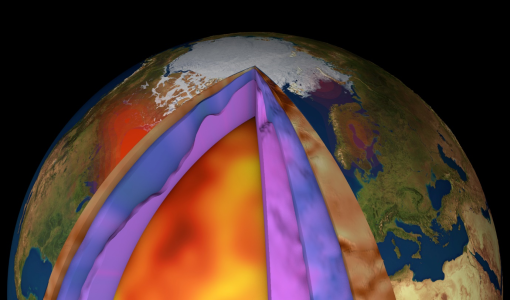
How ESA uses space data to explore deep Earth
As anthropogenic activities continue to unbalance our environment, scientists strive to fully understand the intricate interactions within Earth’s system.
News - Spotlight on EO community
Interviewing Mirko Albani
ESA’s Heritage Space Programme Manager describes the goals of the programme, some of the challenges involved in preserving and improving 40 years of historical Earth observation data, and his passion for curating this long-term archive.
News - Thematic area articles
Satellite data central to ocean monitoring
Over 95% of Earth’s water is found in our oceans, and yet sadly, oceans are under stress from climate change and pollution. Monitoring our oceans is vital for Earth’s survival and satellites are the primary means of long-term and independent observation of our vast ocean bodies and their associated coastal zones.
News - Success Stories
New open-source Python library improves rapid mapping services
In emergency services, rapid response is paramount. ICube-SERTIT’s Rapid Mapping Service provides near real-time delivery of geo-information to help emergency services respond quickly to disasters such as flooding, fires and landslides. A new Python open-source library, called EOReader, speeds up this mapping response by enabling the easy opening of imagery from multiple satellite sensors, both optical and synthetic aperture radar (SAR).
News - Infographics
Timeline to over 40 years of historical satellite missions
ESA's Heritage Space Programme preserves historical data from over 40 years of Earth observation missions.
News - Events and Proceedings
Φ-Week Triumphs
In its fourth edition, Φ-Week presented the scientific community with amazing opportunities and projects—thus running alongside innovation at 360 degrees.


