- All Categories (28)
- Data (2)
- News (10)
- Missions (2)
- Events (11)
- Tools (2)
- Documents (1)
Event - Workshop
2nd CHRIS PROBA Workshop
This 2004 workshop was on the treatment of Compact High Resolution Images Spectrometer (CHRIS) data.
Event - Workshop
2nd MERIS/AATSR User Workshop
The workshop addressed the utilisation of MERIS and AATSR data for remote sensing of open oceans, coastal waters, land surfaces and atmospheric processes.
Event - Workshop
2nd Space for Hydrology Workshop
The workshop aimed to assess the current stage of knowledge and activities in space-based hydrological observations and to exchange knowledge and know how with hydrologists and researchers.
Event - Training
3rd Advanced Training Course on Land Remote Sensing 2011
This 2011 advanced ESA training course focused on land remote sensing theory and applications.
Event - Workshop
3rd CHRIS PROBA Workshop
This 2005 workshop was on the treatment of Compact High Resolution Images Spectrometer (CHRIS) data.
Event - Training
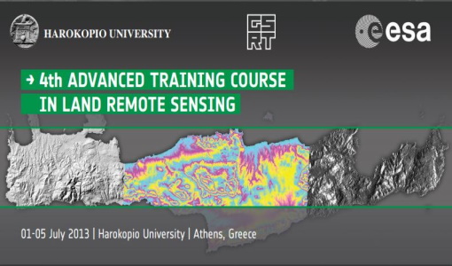
4th Advanced Training Course in Land Remote Sensing
ESA organised the 4th Advanced Training Course in Land Remote Sensing which took place in Athens, Greece from 1 to 5 July 2013
Event - Training
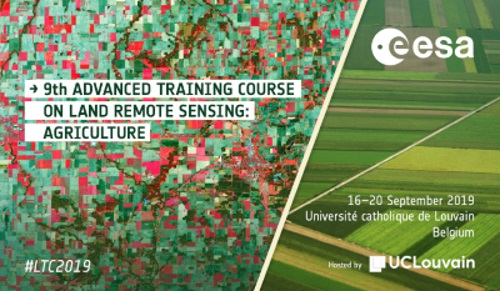
9th Advanced Training Course on Land Remote Sensing
ESA organised the 9th Advanced Training Course on Land Remote Sensing with a focus on Agriculture. It took place from 16 to 20 September 2019.
Data - Announcement of Opportunity (Restrained)
Announcement of Opportunity for NoR
ESA invites submissions for the Network of Resources (NoR) call, which aims to support research, development and pre-commercial users to innovate their working practices, moving from a data download paradigm towards a 'bring the user to the data' paradigm.
Event - Workshop
Aquaculture User Consultation
The main goal of the workshop was to define a detailed set of user requirements for the future ESA Aquaculture project.
Document - Product Handbook
AVHRR-Handbook.pdf
The AVHRR user handbook provides details about the content of the consolidated and harmonised data set archived at ESA facilities.
Mission - Third Party Missions
COSMO-SkyMed Second Generation
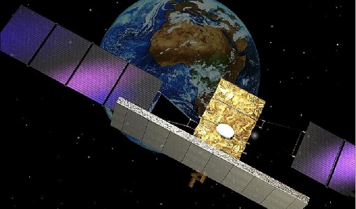
COSMO-SkyMed Second Generation is at the forefront of radar technology, will ensure improvements and guarantee continuity with the First Generation CSK satellites, preserving the high quality and the highest precision features, both required for the interferometric activities.
News - Success Stories
ESA missions help to reveal worldwide lake water loss trend
Climate change, human consumption and sedimentation are depleting more than half of the world’s biggest lakes of water, according to a ground-breaking analysis that drew on three decades of satellite data.
Event - Meeting
Fluorescence (FLEX) 2019
The FLEX 2019 meeting consisted of a series of events addressing remote sensing of vegetation fluorescence.
Tools - Other
Food Security TEP
The Food Security Thematic Exploitation Platform (TEP) enables access, processing, uploading, visualisation, manipulation and comparison of data related to food security.
News - Success Stories
Forty years of heritage data highlight warming European lakes
In the last decade, climate change has taken centre stage in both the public and scientific arenas, as increasingly extreme weather and human impact on the environment have become more apparent.
Event - Workshop
Fringe 1996 Workshop
The workshop on ERS SAR Interferometry was open to scientists and students working in the field of Synthetic Aperture Radar (SAR) interferometry and its applications.
Tools - Other
Hydrology TEP
The Hydrology Thematic Exploitation Platform (TEP) enables access, processing, uploading, visualisation, manipulation and comparison of hydrological data.
News - Thematic area articles
Monitoring water on Earth's surface
ESA's Earth observation satellites are playing a leading role in furthering our understanding of how Earth's terrestrial hydrosphere is being influenced by humankind.
News - Data Release news
New FLEX-related campaign datasets released
New datasets have been released for three campaigns, covering activities supporting the upcoming FLEX mission.
Mission - Earth Watch
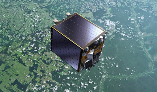
PROBA-V
The PROBA-V mission provides multispectral images to study the evolution of the vegetation cover on a daily and global basis.
