- All Categories (25)
- Data (2)
- News (4)
- Missions (4)
- Tools (3)
- Activities (4)
- Documents (8)
Document - Proceedings
ERS-Envisat-symposium-proceedings.pdf
This document contains the proceedings of the ERS-Envisat Symposium, which took place in 2000.
Mission - Third Party Missions
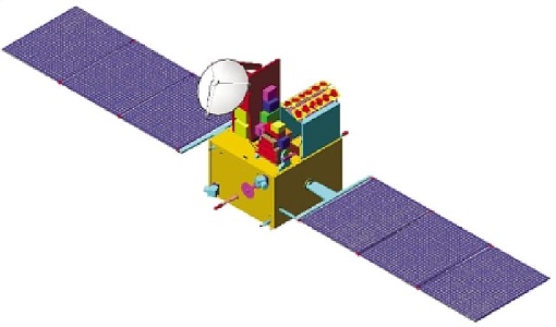
OceanSat-2
OceanSat-2 provides service continuity for the operational users of the OCM (Ocean Colour Monitor) instrument launched in 1999 on board the predecessor IRS-P4/OceanSat-1 mission.
News - Data Release news
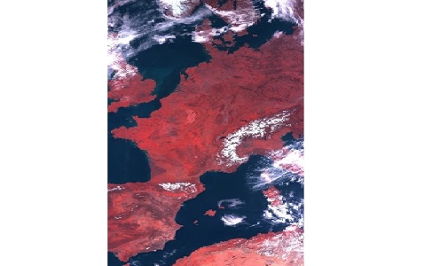
ESA will continue to provide ocean colour data from Indian mission
To further promote research and applications, ESA and a leading geo-information company agree to continue data acquisition from OceanSat-2.
Activity - Projects
Auroral Electrojet and auroral Boundaries estimated from Swarm observations
In the Swarm-AEBS project, a set of new Swarm data products that characterise the auroral electrojets and auroral oval boundaries will be derived from Swarm magnetic field measurements.
Tools - Other
Swarm-Aurora
Swarm-Aurora, a web-based tool, was designed to facilitate and drive the use of Swarm in-situ measurements in auroral science.
Mission - Earth Explorers
GOCE
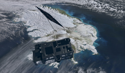
ESA's Gravity field and Ocean Circulation Explorer (GOCE) mission mapped Earth's geoid very accurately, opening a window into Earth's interior structure as well as the currents circulating within the depths of its oceans.
Mission - Earth Explorers
Swarm
Swarm is dedicated to creating a highly detailed survey of Earth’s geomagnetic field and its temporal evolution as well as the electric field in the atmosphere using a constellation of three identical satellites.
Data - EO Sign In Authentication (Open)
OceanSat-2 data
ESA, in collaboration with GAF AG, acquired and processed every day OceanSat-2 passes over Neutrelitz reception station from January 2016 to November 2021. All passes were systematically processed to levels 1B, 2B and 2C, and available to users in NRT (< 3 hours). Products are available in: Level 1B: Geophysical Data containing Radiance Data for all 8 Bands of OCM-2 Level 2B: Geophysical Data L2B for given Geo physical parameter. Geo physical parameters: Chlorophyll, Aerosol Depth, Different Attenuation, Total Suspended Sediments Level 2C: Georeferenced Radiance Data for given geo physical parameter. Geo physical parameters: Chlorophyll, Aerosol Depth, Different Attenuation, Total Suspended Sediments. Spatial coverage: Check the spatial coverage of the collection on a map available on the Third Party Missions Dissemination Service.
Document - Technical Note
Technical Note on Quality Assessment for OceanSat-2 (2 Apr 19)
Technical Note on Quality Assessment for OceanSat-2 OCM (Quarterly report for Q1 2019)
Document - Technical Note
Technical Note on Quality Assessment for OceanSat-2 (5 May 20)
Technical Note on Quality Assessment for OceanSat-2 OCM (Quarterly report for Q1 2020)
Document - Technical Note
Technical Note on Quality Assessment for OceanSat-2 (3 Jul 19)
Technical Note on Quality Assessment for OceanSat 2 OCM (Quarterly report for Q2 2019)
Document - Technical Note
Technical Note on Quality Assessment for OceanSat-2 (4 Jan 20)
Technical Note on Quality Assessment for OceanSat-2 OCM (Quarterly report for Q3 and Q4 2019)
Document - Technical Note
Technical Note on Quality Assessment for OceanSat-2 (1 Jan 19)
Technical Note on Quality Assessment for OceanSat 2 OCM (Quarterly report for Q4 2018)
Document - Technical Note
Technical Note on Quality Assessment for OceanSat-2 (6 Aug 20)
Technical Note on Quality Assessment for OceanSat-2 (6 Aug 20)
Document - Technical Note
Technical Note on Quality Assessment for OceanSat-2 (7 Oct 20)
Technical Note on Quality Assessment for OceanSat-2 (7 Oct 20)
Mission - Copernicus Sentinels
Copernicus Sentinel-3
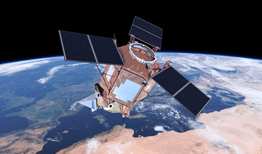
Copernicus Sentinel-3 is an European Earth Observation satellite mission developed to support Copernicus ocean, land, atmospheric, emergency, security and cryospheric applications.
Activity - General activities
GSCB and LTDP
The Copernicus programme is based on a fleet of European Earth observation satellites, built and operated by ESA, member states and commercial entities. Copernicus will also offer data from non-European satellites.
Activity - Projects
TOLEOS
The TOLEOS (Thermosphere Observations from Low-Earth Orbiting Satellites) project will produce thermosphere mass density observations from the accelerometer measurements of the GRACE, GRACE-FO, and CHAMP satellites.
Activity - Projects
Dragon 2 Cooperation Programme
The Dragon 2 Programme focussed on the exploitation of ESA, ESA's Third Party Missions and Chinese Earth observation data for science and applications development in land, ocean and atmospheric applications.
News - Announcement of Opportunity updates
Swarm DISC Deadline Extension
Swarm DISC Invitation to Tender deadline extension for SD-ITT-4.4: Swarm for Space Weather


