- All Categories (24366)
- Data (30)
- News (68)
- Missions (3)
- Events (9)
- Tools (6)
- Activities (2)
- Campaigns (7)
- Documents (24241)
News - Infographics

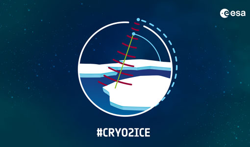
What is CRYO2ICE?
Learn about CRYO2ICE, an innovative campaign producing near simultaneous acquisitions over Antarctica from the CryoSat and ICESAT-2 missions, in this new infographic.
News - Success Stories

Using Satellite Data to Predict Floods and Droughts
Scientists are turning to remote sensing to fill the in-situ data gap in hydrological data models in some parts of the world.
News - Data Release news

Updated CryoSat magnetometer data now available with new baseline 0201
An improved version of the CryoSat magnetic field data is now available on the Swarm Dissemination Server with new baseline 0201.
News - Data Release news

Updated CryoSat magnetometer data now available
An improved version of the CryoSat magnetic field data (version 0102) is now available in the "#CryoSat-2" folder of the ESA FTP server.
News - Thematic area articles

Transforming space data into climate action
ESA’s Earth observation activities are playing a key role in the revitalised global drive to combat climate change.
Document - General Reference

Taking-the-Measure-of-Earth-Fifteen-Years-of-Progress-in-Radar-Altimetry.pdf
This article is extracted from ESA Bulletin Nr. 128.
News - Data Release news

Systematic swath elevation and monthly DEMs over the Greenland Ice Sheet margin from CryoSat
The CryoTEMPO-EOLIS (Elevation Over Land Ice from Swath), the first of the CryoTEMPO products, is now available.
News - Data Release news

Systematic swath elevation and monthly DEMs over the Antarctica Ice Sheet margin from CryoSat 2
Land-ice is declining globally, raising sea levels worldwide and impacting glacial risks and access to fresh-water in high-mountain glaciers regions.
News - General News
Stunning new features for ESA and NASA altimetry portal cs2eo.org
Working with combined ESA and NASA altimetry data is easier than ever thanks to a range of handy new features on cs2eo.org.
News - Operational News
SIRAL measurements continue during CRYO2ICE
On 16 July, ESA is kicking off its CRYO2ICE campaign that aims to raise CryoSat-2's orbit by approximately 900 metres, bringing it in sync with NASA's ICESat-2.
News - Events and Proceedings

Seventh CryoSat Quality Working Group meeting - final report
The 7th CryoSat Quality Working Group (QWG) meeting Summary and Recommendation Report are available to download.
Activity - Quality
SCIRoCCo
The SCIRoCCo project is an interdisciplinary cooperation of scatterometry experts aimed at promoting the continuing exploitation of ESA's unique 20 years' worth of ERS Scatterometer data.
News - Thematic area articles

Satellites reveal changes to Earth’s icy zones
ESA’s Earth observation activities are helping scientists investigate the influence of climate change on widespread ice-losses across the planet.
Document - General Reference
Satellite-Data-in-Hydrology-Experience-with-ERS.pdf
This document is aimed at both current and potential users of ERS data in hydrology. It demonstrates the existing uses of ERS data in this field, considers the potential for further development and examines the issues effecting hydrological application of ERS data specifically.
News - General News

Satellite Radar Altimetry: past and future
Satellite radar altimetry measurements yield a wealth of information that can be used for a wide range of applications.
News - Success Stories

Robust airborne radar instrument aids CryoSat ice data
During the 12 years that ESA’s ice mission – CryoSat – has been monitoring Earth’s ice masses from space, simultaneous airborne measurements were made by ASIRAS.
News - Success Stories

Retrieving Snow Depth Over Sea Ice Using Dual-Frequency Altimetric Measurements
A new study from the sea ice team of the Laboratory of Space Geophysical and Oceanographic Studies (LEGOS) in Toulouse has shown that dual-frequency SARAL and CryoSat-2 altimetric measurements can be used to retrieve consistent snow depth data over sea ice in both hemispheres.
Data - Campaigns (Open)
POLARIS Proof of Concept 2008
The POLARIS Proof-of-Concept (PoC) 2008 campaign primarily aimed to verify the usefulness of the system for glaciological applications.
Campaign

PolarGap
The primary objective of the PolarGap campaign was to carry out an airborne gravity survey covering the southern polar gap of the gravity field mission GOCE, beyond the coverage of the GOCE orbit.
Data - Campaigns (Open)
PolarGap
The primary objective of the PolarGap campaign was to carry out an airborne gravity survey covering the southern polar gap of the gravity field mission GOCE, beyond the coverage of the GOCE orbit.