- All Categories (1272)
- Data (11)
- News (39)
- Missions (4)
- Events (5)
- Tools (5)
- Activities (10)
- Documents (1198)
News - Success Stories

10 years of Envisat data help to illuminate ocean processes
A decade after Envisat beamed its final image to the planet, the pioneering ESA mission is continuing to foster improved understanding of Earth’s systems.
Document - General Reference

141022-RMA-03-data-consistency.pdf
ERS-2 ASCAT Data Consistency presentation
Document - General Reference
150604-RMA-01-ERS1-calibration-reprocessing-v2.pdf
ERS1-calibration-reprocessing-v2
Document - Product Document

Access to Envisat Data
The scope of this document is to focus on the data dissemination methods and the different means offered to Users to access the Envisat data.
News - Data Release news

Additional EFI TII Cross Track Flow dataset 0302 available for Swarm
Additional TII cross-track flow data is now available on the Swarm dissemination server for all the Swarm satellites.
News - Data Release news
Additional EFI TII Raw And Corrected Imagery and Spectra (TRACIS) dataset 0102 available for Swarm
Additional EFI TII Raw And Corrected Imagery and Spectra (TRACIS) data is now available on the Swarm dissemination server for all the Swarm satellites.
Event - Training

Advanced Training Course in Land Remote Sensing 2012
The 2012 advanced training course focused on land remote sensing theory and applications.
Data - EO Sign In Authentication (Open)
Atmospheric Thematic Data Product [MWR_TDPATM]
This is the Atmospheric Thematic Data Product (TDP) V1 resulting from the ESA FDR4ALT project and containing Total Column Water Vapour (TCWV), Cloud Liquid Water Path (LWP), Atmospheric Attenuation of the altimeter backscattering coefficient at Ku-band (AttKu), and Wet Tropospheric Correction (WTC), retrieved from observations of the Microwave Radiometer (MWR) instruments flown on-board the ERS-1, and ERS-2, and Envisat satellites. Compared to existing datasets, the Atmospheric TDP demonstrates notable improvements in several aspects: Improved temporal coverage, especially for ERS-2 Improved L0 -> 1 processing Two different corrections are provided based on a neural network retrieval or on a 1D-VAR approach The FDR4ALT products are available in NetCDF format. Free standard tools for reading NetCDF data can be used. Information for expert altimetry users is also available in a dedicated NetCDF group within the products. Please consult the FDR4ALT Product User Guide before using the data. The FDR4ALT datasets represent the new reference data for the ERS/Envisat altimetry missions, superseding any previous mission data. Users are strongly encouraged to make use of these datasets for optimal results.
News - General News
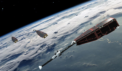
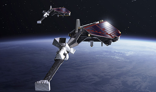
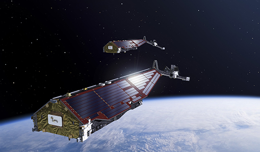
Big ambitions as Swarm mission soars on
For nearly a decade ESA’s magnetic field mission has taken us on a journey from Earth’s core to the magnetosphere, and almost everything in between.
Tools - Other

Broadview Radar Altimetry Toolbox
BRAT is an extensive tutorial on what is altimetry, techniques used and examples of usage of data; plus software to read, process and visualise altimetry data.
News - Operational News
Change of access to FTP-S for ERS and Envisat Radar Altimeter data
As of 29 November 2023, access to the ERS-1/2 and Envisat Radar Altimeter data will be changed from simple FTP to FTP-S.
News - Operational News
Changes to be introduced in the Swarm Dissemination FTP layout
Following a Swarm community recommendation, some changes will be introduced in the Swarm Dissemination FTP/HTTPS structure on 20 April 2022.
News - Events and Proceedings

Data preservation takes centre stage at Living Planet Symposium
Against the backdrop of the famed Rhine River, world-class scientists and Earth observation data-users are gathered this week in the historical city of Bonn, at the Living Planet Symposium (LPS).
Activity - Projects
Dipolar Spherical Elementary Current Systems (DSECS) toolbox
The purpose of this project is to create a user-friendly version of a previously developed analysis method for estimating ionospheric currents at low and middle latitudes.
Activity - Projects
Dragon 2 Cooperation Programme
The Dragon 2 Programme focussed on the exploitation of ESA, ESA's Third Party Missions and Chinese Earth observation data for science and applications development in land, ocean and atmospheric applications.