- All Categories (130)
- Data (24)
- News (58)
- Missions (6)
- Events (14)
- Tools (6)
- Activities (3)
- Campaigns (8)
- Documents (11)
Document - Conference Presentation - Poster

5_SummaryOceanCryosphere.pdf
Applications on Ocean & Cryosphere
Document - Conference Presentation - Poster
6_Session_I_Besic.pdf
Poincaré sphere representation of independent scattering sources: Application on distributed targets N. Besic [Gipsa-lab - France]
Document - Conference Presentation - Poster
3_leinss_polinSAR2013_v3.pdf
Snow property extraction based on polarimetry and differential SAR interferometry S. Leinss [ETH Zürich - Switzerland]
Document - Proceedings

EO-Summer-School-3-Satellite-radar-21st-century-glaciology.pdf
This presentation from ESA's EO Summer School 3 describes Satellite radar – 21st century glaciology
Document - Proceedings
EO-Summer-School-3-Satellite-radar-21st-century-glaciology.pdf
This presentation from ESA's EO Summer School 3 describes Satellite radar – 21st century glaciology
Document - General Reference

Envisat-ASAR-science-and-applications.pdf
This document describes the technical specifications of the Envisat ASAR instrument and its operations and objectives.
Document - Proceedings
Fringe-2011-workshop-session-summaries.pdf
This document contains the session summaries from the session summaries of the Fringe 2011 workshop.
Event - Conference

3rd ERS Symposium
The ESA Directorate for Observation of the Earth and its Environment held the 3rd ERS Symposium, in 1997, where many of the results from the ERS-1 and ERS-2 missions were presented and discussed by the scientific community.
Event - Workshop

CryoSat 2005 Workshop
The workshop provided new and familiar users of the mission with a detailed understanding of the mission status and projected performance at launch, and provided the first presentation to users of the processing algorithms.
Event - Workshop
Fringe 2005 Workshop
Fringe 2005 was the second International Workshop on Envisat ASAR interferometry and fourth International Workshop on ERS SAR Interferometry.
Event - Workshop
Fringe 2007 Workshop
Fringe 2007 was the third International Workshop on Envisat ASAR interferometry and fifth International Workshop on ERS SAR Interferometry.
Event - Conference
ALOS 2008 Symposium
The 2008 Joint PI Symposium of the ALOS Data Nodesa was a forum to exchange views on technical and scientific issues on the data exploitation.
Event - Workshop
POLinSAR 2009
The 2009 workshop focused on theory and methods in the fields of SAR Polarimetry and Polarimetric Interferometry
News - Events and Proceedings

Seventh CryoSat Quality Working Group meeting - final report
The 7th CryoSat Quality Working Group (QWG) meeting Summary and Recommendation Report are available to download.
Event - Workshop
POLinSAR 2019
ESA organised POLinSAR 2019, the 9th International Workshop on Science and Applications of SAR Polarimetry and Polarimetric Interferometry.
Event - Conference
CryoSat 10th Anniversary Science Conference
The conference focussed on the latest scientific results from the mission, it was also a celebration of the remarkable contribution CryoSat has made to our understanding of the cryosphere.
Campaign
CryoVEx 2003
The CryoVEx (CryoSat Validation EXperiment) 2003 campaign was a first comprehensive Arctic Ocean airborne and surface campaign, in support of the ESA satellite CryoSat, planned for launch late 2004.
Campaign

PolarGap
The primary objective of the PolarGap campaign was to carry out an airborne gravity survey covering the southern polar gap of the gravity field mission GOCE, beyond the coverage of the GOCE orbit.
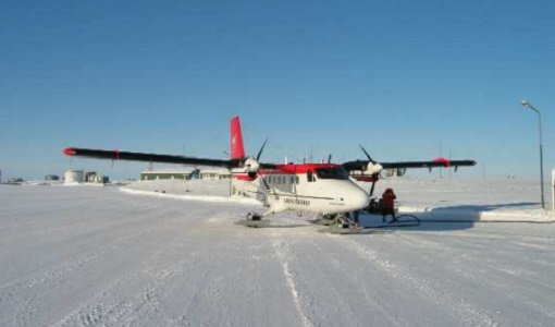
Campaign

LaRA
To improve our knowledge of how best to measure ice thickness, the airborne Laser and Radar Altimeter campaign (LaRA) was carried out over the frozen expanses of northern Greenland.
Mission - Heritage Missions

NOAA POES
NOAA's AVHRR sensor is carried on the POES mission, a constellation of polar orbiting weather satellites.