- All Categories (22)
- Data (3)
- News (1)
- Missions (5)
- Tools (2)
- Documents (11)
Tools - Catalogues
FedEO
FedEO is a data catalogue that provides a unique entry point to a number of scientific catalogues and services for, but not limited to, European and Canadian missions.
Tools - Catalogues
EO CAT
EO CAT is a data catalogue, offering a Next Generation Earth Observation system designed to manage end-user Earth Observation services.
Document - Technical Note
Technical Note on Quality Assessment for OceanSat-2 (7 Oct 20)
Technical Note on Quality Assessment for OceanSat-2 (7 Oct 20)
Document - Technical Note
Technical Note on Quality Assessment for OceanSat-2 (6 Aug 20)
Technical Note on Quality Assessment for OceanSat-2 (6 Aug 20)
Document - Technical Note
Technical Note on Quality Assessment for OceanSat-2 (1 Jan 19)
Technical Note on Quality Assessment for OceanSat 2 OCM (Quarterly report for Q4 2018)
Document - Technical Note
Technical Note on Quality Assessment for OceanSat-2 (4 Jan 20)
Technical Note on Quality Assessment for OceanSat-2 OCM (Quarterly report for Q3 and Q4 2019)
Document - Technical Note
Technical Note on Quality Assessment for OceanSat-2 (3 Jul 19)
Technical Note on Quality Assessment for OceanSat 2 OCM (Quarterly report for Q2 2019)
Document - Technical Note
Technical Note on Quality Assessment for OceanSat-2 (5 May 20)
Technical Note on Quality Assessment for OceanSat-2 OCM (Quarterly report for Q1 2020)
Document - Technical Note
Technical Note on Quality Assessment for OceanSat-2 (2 Apr 19)
Technical Note on Quality Assessment for OceanSat-2 OCM (Quarterly report for Q1 2019)
Data - Fast Registration with approval (Restrained)
SPOT 1-5 ESA archive
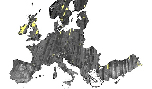
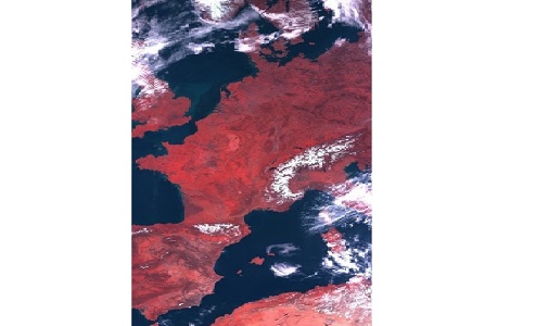
The ESA SPOT 1-5 collection is a dataset of SPOT 1 to 5 Panchromatic and Multispectral products that ESA collected over the years. The HRV(IR) sensor onboard SPOT 1-4 provides data at 10 m spatial resolution Panchromatic mode (-1 band) and 20 m (Multispectral mode -3 or 4 bands). The HRG sensor on board of SPOT-5 provides spatial resolution of the imagery to < 3 m in the panchromatic band and to 10 m in the multispectral mode (3 bands). The SWIR band imagery remains at 20 m. The dataset mainly focuses on European and African sites but some American, Asian and Greenland areas are also covered. Spatial coverage: Check the spatial coverage of the collection on a map available on the Third Party Missions Dissemination Service. The SPOT Collection
Data - EO Sign In Authentication (Open)
SPOT 4-5 Take5 ESA archive
At the end of SPOT-4 mission, the Take5 experiment was launched and the satellite was moved to a lower orbit to obtain a 5 day repeat cycle, same repetition of Sentinel-2. Thanks to this orbit, from 1 February to 19 June 2013 a time series of images acquired every 5 days with constant angle and over 45 different sites were observed. In analogy to the previous SPOT-4 Take-5 experiment, also SPOT-5 was placed in a 5 days cycle orbit and 145 selected sites were acquired every 5 days under constant angles from 8 April to 31 August 2015. With a resolution of 10 m, the following processing levels are available: Level 1A: reflectance at the top of atmosphere (TOA), not orthorectified products Level 1C: data orthorectified reflectance at the top of atmosphere (TOA) Level 2A: data orthorectified surface reflectance after atmospheric correction (BOA), along with clouds mask and their shadow, and mask of water and snow. Spatial coverage: Check the spatial coverage of the collection on a map available on the Third Party Missions Dissemination Service.
Data - EO Sign In Authentication (Open)
OceanSat-2 data
ESA, in collaboration with GAF AG, acquired and processed every day OceanSat-2 passes over Neutrelitz reception station from January 2016 to November 2021. All passes were systematically processed to levels 1B, 2B and 2C, and available to users in NRT (< 3 hours). Products are available in: Level 1B: Geophysical Data containing Radiance Data for all 8 Bands of OCM-2 Level 2B: Geophysical Data L2B for given Geo physical parameter. Geo physical parameters: Chlorophyll, Aerosol Depth, Different Attenuation, Total Suspended Sediments Level 2C: Georeferenced Radiance Data for given geo physical parameter. Geo physical parameters: Chlorophyll, Aerosol Depth, Different Attenuation, Total Suspended Sediments. Spatial coverage: Check the spatial coverage of the collection on a map available on the Third Party Missions Dissemination Service.
Mission - Heritage Missions
IRS-1C and IRS-1D
The Indian Remote Sensing satellites IRS-1C and IRS-1D were identical Earth-imaging satellites operated by the Indian Space Research Organisation.
Mission - Heritage Missions
SPOT
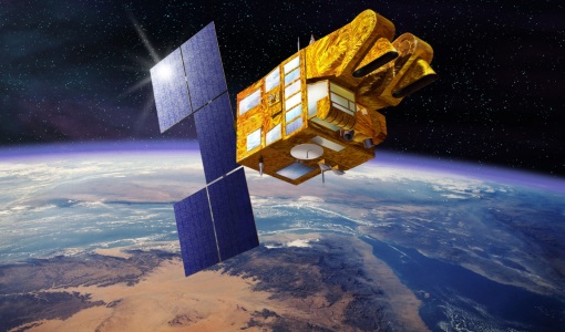
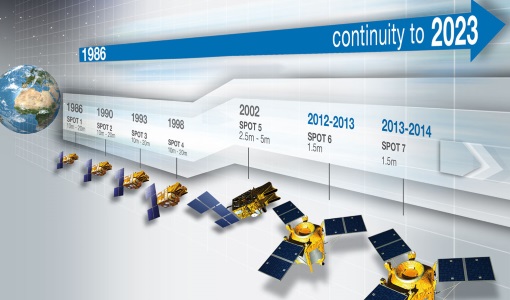
The SPOT (from French "Satellite pour l'Observation de la Terre") series of missions has been supplying high-resolution, wide-area optical imagery since 1986.
News - Data Release news
ESA will continue to provide ocean colour data from Indian mission
To further promote research and applications, ESA and a leading geo-information company agree to continue data acquisition from OceanSat-2.
Mission - Third Party Missions
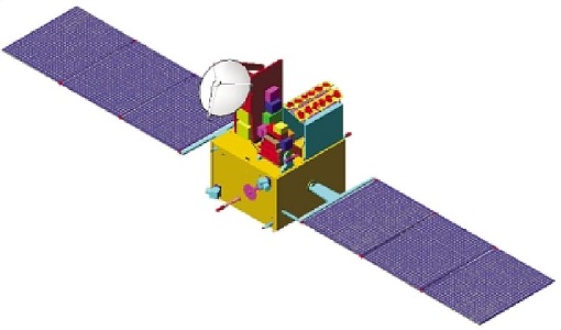
OceanSat-2
OceanSat-2 provides service continuity for the operational users of the OCM (Ocean Colour Monitor) instrument launched in 1999 on board the predecessor IRS-P4/OceanSat-1 mission.
Mission - Heritage Missions
IRS-1D
IRS-1D was part of the IRS (Indian Remote Sensing) satellites, a large family of Earth observation satellites operated by ISRO.
Mission - Heritage Missions
IRS-1C
IRS-1C is part of the IRS (Indian Remote Sensing) satellites, a large family of Earth observation satellites operated by ISRO.
Document - Proceedings
Advances-in-Atmospheric-Science-and-Applications.pdf
Proceedings in Advances in Atmospheric Science and Applications held in 18-22 June 2012 in Bruges, Belgium.
Document - General Reference
BIOMASS-Report-for-Mission-Selection-An-Earth-Explorer-to-observe-forest-biomass.pdf
The objective of the BIOMASS Mission is to determine the global distribution of forest biomass by reducing the uncertainty in the calculation of carbon stock and fluxes associated with the terrestrial biosphere.


