- All Categories (266)
- Data (8)
- News (16)
- Missions (2)
- Events (14)
- Tools (4)
- Activities (4)
- Documents (218)
Document - Product Cal/Val Plan/Report

Validation Report following the 3rd MERIS data reprocessing
This document prepared by the MERIS Quality Working Group (QWG) corresponds to the Validation Report following the 3rd MERIS data reprocessing. It aims at qualifying and quantifying the accuracy of the MERIS L2 products generated with the version 8.0 of MERIS Ground Segment prototype (MEGS), delivered to the whole community through the ODESA software (http://earth.eo.esa.int/odesa/). It is equivalent to version 6.0 of the Instrument Processing Facilities (IPF) at ESRIN.
Document - General Reference

Two Years of ERS-1 Data Exploitation
This bulletin reports on the first two years of the ERS-1 satellite.
News - Thematic area articles

Transforming space data into climate action
ESA’s Earth observation activities are playing a key role in the revitalised global drive to combat climate change.
News - Thematic area articles
Tracking the world’s forests from space
As human activities continue to threaten the planet’s forests, data delivered by satellites are boosting global efforts to conserve these crucial natural resources.
Document - Product Cal/Val Plan/Report
The-Calibration-of-the-ERS-1-Radar-Altimeter.pdf
This report describes the calibration of ERS-1's Radar Altimeter during the commissioning phase, which used Venice as a basis for calibration.
Document - General Reference
The Nine Candidate Earth Explorer Missions - Topography Mission
This report for assessment addresses the Topography mission when it was selected with other nine Earth Explorer missions as a potential candidate for Phase A study.
Document - General Reference
The International Charter- Space and Major Disasters
The Charter is an important step forward in linking the needs of disaster and relief organisations with space technology solutions to help mitigate the effects of disaster on human life, property and the environment.
Document - Technical Note

Technical-Note-on-Data-Flows-and-Volumes-between-ISS-and-Other-Entities-of-the-ERS-1-Ground-Segment.pdf
This document lists all the messages exchanged between the Interface Subset (ISS) and the other entities of the ERS-1 Ground Segment.
News - Thematic area articles
Space data support Earth’s ecosystems
ESA’s Earth observation (EO) missions are making a critical contribution to monitoring transformations in our planet’s ecosystems, helping track changes in the vegetation, soil, and ocean that affect these systems.
Document - General Reference
SMOS-ESAs-Water-Mission-Fact-sheet.pdf
This document provided a series of information on the SMOS mission.
Activity - Quality
SEOM CAWA
The Advanced Clouds, Aerosols and WAter vapour products for Sentinel-3/OLCI project aims to develop and improve the advanced atmospheric retrieval algorithms developed for MERIS and OLCI instruments.
Document - General Reference
Sentinel-1-The-Radar-Mission-for-GMES-Land-and-Sea-Services.pdf
This article is extracted from ESA Bulletin Nr. 131.
Document - General Reference
Remote-Sensing-and-marine-ecology.pdf
This volume collects the lecture notes of the training course on Marine Remote Sensing and its applications, held on 15-26 June 1998 at ESA ESRIN, Frascati, Italy. The lectures were held in italian: the book is available in italian only.
Document - General Reference
Remote-Sensing-and-Humanitarian-Aid-A-life-saving-combination.pdf
This article was published in the ESA Bulletin Nr. 122 and describes how Earth Observation activities may answer to the requirements of humanitarian and aid workers.
Activity - Quality
REAPER
The REAPER (REprocessing of Altimeter Products for ERS) project covers both the ERS-1 and the ERS-2 altimetry missions. The project aims to support and maintain data quality.
Document - Proceedings

PolInSAR-2007-Proceedings-of-the-3rd-International-Workshop-on-Science-and-Applications-of-SAR-Polarimetry-and-Polarimetric-Interferometry.pdf
Proceedings of PolInSAR 2007 held in Frascati, Italy on from 22-26 January 2007.
Tools - Analysis
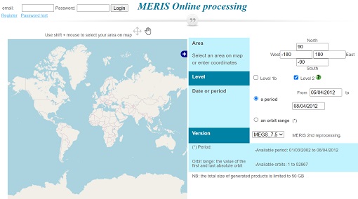
Optical Data processor of the European Space Agency
ODESA system provides a complete Level 2 processing environment for the MERIS instrument and future Sentinel-3 optical sensors.