- All Categories (82)
- Data (15)
- News (17)
- Missions (2)
- Events (5)
- Tools (9)
- Activities (1)
- Campaigns (14)
- Documents (19)
DATA
Discover and download the Earth observation data you need from the broad catalogue of missions the European Space Agency operate and support.
Data - Data Description
TropForest - ALOS, GEOSAT-1 & KOMPSAT-2 optical coverages over tropical forests
The objective of the ESA TropForest project was to create a harmonised geo-database of ready-to-use satellite imagery to support 2010 global forest assessment performed by the Joint Research Centre (JRC) of the European Commission and by the Food and Agriculture Organization (FAO). Assessments for year 2010 were essential for building realistic deforestation benchmark rates at global to regional levels. To reach this objective, the project aimed to create a harmonised ortho-rectified/pre-processed imagery geo-database based on satellite data acquisitions (ALOS AVNIR-2, GEOSAT-1 SLIM6, KOMPSAT-2 MSC) performed during year 2009 and 2010, for the Tropical Latin America (excluding Mexico) and for the Tropical South and Southeast Asia (excluding China), resulting in 1971 sites located at 1° x 1° geographical lat/long intersections. The project finally delivered 1866 sites (94.7% of target) due to cloud coverages too high for missing sites. Spatial coverage: Check the spatial coverage of the collection on a map available on the Third Party Missions Dissemination Service.
Data - EO Sign In Authentication (Open)
KOMPSAT-2 ESA archive
KOMPSAT-2 ESA archive collection is composed by bundle (Panchromatic and Multispectral separated images) products from the Multi-Spectral Camera (MSC) onboard KOMPSAT-2 acquired from 2007 to 2014: 1m resolution for PAN, 4m resolution for MS. Spectral Bands: Spectral Band Application PAN 500 – 900 nm Locate, identify and measure surface features and objects primarily by their physical appearance MS1 Blue 450 – 520 nm Mapping shallow water, differentiating soil from vegetation MS2 Green 520 - 600 nm Differentiating vegetation by health MS3 Red 630 - 690 nm Differentiating vegetation by species MS4 NIR 760 – 900 nm Mapping vegetation, mapping vegetation vigor/health, Differentiating vegetation by species Spatial coverage: Check the spatial coverage of the collection on a map available on the Third Party Missions Dissemination Service.
Data - Campaigns (Open)
CEFLES2
The objective of the CEFLES2 campaigns was to provide key reference data and background knowledge for the preparatory phases of the Sentinel‐2 and FLEX missions.
Data - Campaigns (Open)
SoyFLEX 2015
SoyFLEX 2015 took place over the agricultural area around Jülich, Germany and Rzecin wetland site, Poland
Data - Campaigns (Open)
SoyFLEX II 2016
The SoyFLEX II experiment was a repetition of an experiment that took place during the 2015 campaign in Germany.
Data - Campaigns (Open)
SPARC
ESA's SPectra bARrax Campaign (SPARC) activity was part of the preparatory study for a proposed ESA Earth Explorer mission called SPECTRA. The objective was to collect a CHRIS/PROBA reference dataset for SPECTRA-related studies.
Data - Campaigns (Open)
FLEX EU 2014
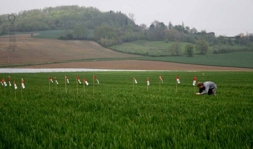
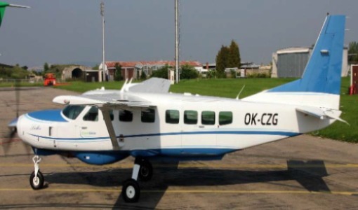
The FLEX-EU Campaign was carried out in 2014 over an agricultural area around Jülich, Germany, Latisana, Italy and forest sites in Czech Republic
Data - Campaigns (Open)
FLEX-US
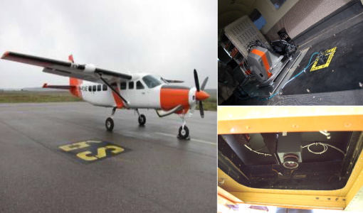
The primary goal of the 2013 joint ESA/NASA airborne campaign was to record an unprecedented FLEX-like dataset containing maps of sun-induced fluorescence, hyperspectral reflectance, surface temperature, and canopy structure.
Data - Campaigns (Open)
FLEXSense 2018
The 2018 Fluorescence Explorer Sense (FLEXSense) campaign combined various field activities in preparation for the FLEX satellite mission.
Data - Campaigns (Open)
FLEXSense 2019
The FLEXSense 2019 campaign activities were undertaken in Germany and Italy with the goal of providing a complete set of high-resolution experimental data, including all relevant elements required for the preparation of the FLEX satellite mission.
Data - Campaigns (Open)
HYFLEX
This HYFLEX campaign aimed to deliver maps of sun-induced fluorescence recorded from airborne measurements using the approaches of the spaceborne FLEX mission.
Data - Campaigns (Open)
Sentinel-3 OLCI Tandem 2018
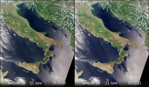
In 2018, a tandem campaign was conducted between the Sentinel-3A and 3B satellites to help test the future FLEX mission.
Data - Campaigns (Open)
PhotoProxy 2019
The Photosynthetic-Proxy Experiment campaign address relevant open aspects that are related to the quantitative assessment of vegetation photosynthesis and vegetation stress from space.
Data - Campaigns (Open)
SEN2EXP
In the SEN2EXP campaign, the data gap for broad leaf forests is addressed as suitable reference datasets of sufficient quality do not exist.
Data - Campaigns (Open)
SEN2FLEX
SENtinel-2 and FLuorescence EXperiment (SEN2FLEX) campaign combines different activities in support of initiatives related both to fluorescence experiments and Sentinel-2 initiative for prototyping of resolutions to meet mission requirements.
