- All Categories (41430)
- Data (62)
- News (190)
- Missions (23)
- Events (58)
- Tools (8)
- Activities (10)
- Campaigns (32)
- Documents (41047)
DATA
Discover and download the Earth observation data you need from the broad catalogue of missions the European Space Agency operate and support.
Data - Campaigns (Open)
PhotoProxy 2019
The Photosynthetic-Proxy Experiment campaign address relevant open aspects that are related to the quantitative assessment of vegetation photosynthesis and vegetation stress from space.
Data - Campaigns (Open)
LaRA
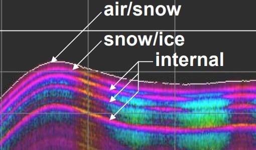
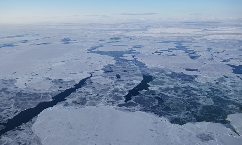
To improve our knowledge of how best to measure ice thickness, the airborne Laser and Radar Altimeter campaign (LaRA) was carried out over the frozen expanses of northern Greenland.
Data - Campaigns (Open)
SnowLab-NG
The overall objective of the SnowLab-NG activity was to provide a comprehensive multi-frequency, multi-polarisation, multi-temporal dataset and active and passive microwave measurements over snow-covered grounds.
Data - Campaigns (Open)
AfriSAR 2015
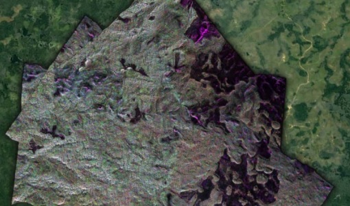
During the AfriSAR 2015 campaign, shared between ONERA (dry season, July 2015) and DLR (wet season 2016), Pol-InSAR and TomoSAR airborne data set were collected over four test sites over Africa, therefore covering different forest structures.
Data - Campaigns (Open)
BioSAR 2007
The BioSAR campaign aimed to support geophysical algorithm development, calibration/validation and the simulation of future spaceborne Earth Observation missions.
Data - Campaigns (Open)
BioSAR 2008
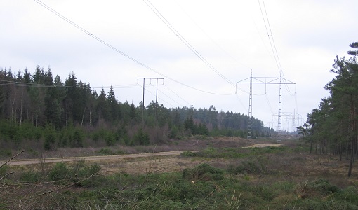
The main objective of BioSAR-2 (BioSAR 2008) campaign was to record SAR data over boreal forests with topographic effects to investigate the effect on biomass retrieval.
Data - Campaigns (Open)
AGRISAR 2006
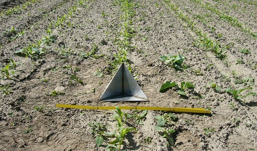
The AGRISAR 2006 campaign, carried out between 18 April and 2 August 2006, was established to address important specific programmatic needs of Sentinel-1 and -2.
Data - Campaigns (Open)
AgriSAR 2009
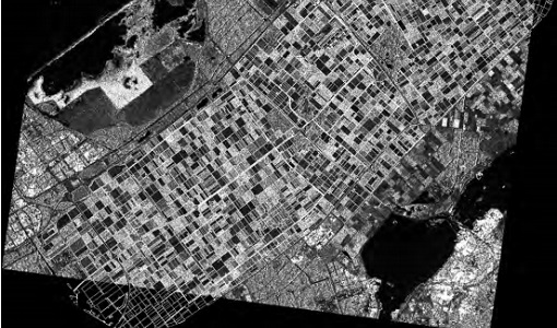
The AgriSAR 2009 campaign was defined to leverage the RADARSAT-2 mission to better understand and demonstrate the potential for GMES land monitoring user services, particularly in agriculture.
Data - Campaigns (Open)
AIRFIRE
The fires observational campaign was performed during summer 2006 and dedicated to the study of fire emission in the spectral region VNIR-SWIR.
Data - Campaigns (Open)
CIMREx
CIMREx airborne campaign aimed to sample the sea ice microwave emissions from various sea ice regimes around Svalbard and Greenland.
Data - EO Sign In Authentication (Open)
Envisat ASAR WS Medium Resolution L1 [ASA_WSM_1P]
The strip-line product has been generated from Level 0 data collected when the instrument was in Wide Swath Mode. The product includes slant range to ground range corrections and covers a continuous area along the imaging swath. It is intended to perform application oriented analysis on large scale phenomena over a wide region and for multi-temporal imaging. This is the standard product for ASAR Wide Swath Mode. The ASAR WS L0 full mission data archive has been bulk processed to Level 1 (ASA_WSM_1P) in Envisat format with the IPF-ASAR processor Version 6.03. Spatial Resolution: 150 m slant range x 150 m azimuth.
Data - EO Sign In Authentication (Open)
Envisat ASAR Global Monitoring L1 [ASA_GM1_1P]
This product has been generated from Level 0 data collected when the instrument was in Global Monitoring Mode. One product covers a full orbit. The product includes slant range to ground range corrections. This strip-line product is the standard for ASAR Global Monitoring Mode. It is processed to approximately 1 km resolution using the SPECAN algorithm. The swath width is approximately 400 km. The ASAR GM L0 full mission data archive has been bulk processed to Level 1 (ASA_GM1_1P) in Envisat format with the IPF-ASAR processor Version 6.03. Spatial Resolution: 1 km ground range x 1 km azimuth.
Data - EO Sign In Authentication (Open)
Envisat ASAR IM Medium Resolution L1 [ASA_IMM_1P]
This ASAR Medium Resolution strip-line product has been generated from Level 0 data collected when the instrument was in Image Mode. This product has lower resolution but higher radiometric resolution than the ASA_IMP. It is intended to perform applications-oriented analysis on large scale phenomena and multi-temporal imaging. This product provides a continuation of the ERS-SAR Image Mode data. The ASAR IM L0 full mission data archive has been bulk processed to Level 1 (ASA_IMM_1P) in Envisat format with the IPF-ASAR processor Version 6.03. Spatial Resolution: 150 m ground range x 150 m azimuth.
Data - EO Sign In Authentication (Open)
Envisat ASAR IM Precision L1 [ASA_IMP_1P]
This is a multi-look, ground range, digital Precision Image generated from Level 0 data collected when the instrument was in Image Mode (7 possible swaths HH or VV polarisation). The product includes slant range to ground range correction. It is for users wishing to perform applications-oriented analysis and applies to multi-temporal imaging and to derive backscattering coefficients. The stand-alone image is generated using the Range/Doppler algorithm. The processing uses up to date (at time of processing) auxiliary parameters corrected for antenna elevation gain, and range spreading loss. Engineering corrections and relative calibration are applied to compensate for well-understood sources of system variability. Absolute calibration parameters, when available (depending on external calibration activities) are provided in the product annotations. This product provides a continuation of the ERS-SAR_PRI product. Spatial Resolution: 30 m ground range x 30 m azimuth.
Data - EO Sign In Authentication (Open)
Envisat ASAR IM Single Look Complex L1 [ASA_IMS_1P]
This data product represents a single-look, complex, slant-range, digital image generated from Level 0 ASAR data collected when the instrument is in Image Mode. Seven possible swaths in HH or VV polarisation are available. The product is primarily intended for use in SAR quality assessment and calibration or applications requiring complex SAR images such as interferometry, and can be used to derive higher level products. The spatial coverage is about 100 km along track per 56 - 100 km across track, and the radiometric resolution is 1 look in azimuth, 1 look in range. The file size is 741 Mbytes. It is worth highlighting that Azimuth pixel spacing depends on Earth-Satellite relative velocity and actual PRF and slant range pixel spacing is given by ASAR sampling frequency (19.208 Mhz). Auxiliary data include: Orbit state vector, Time correlation parameters, Main Processing parameters ADS, Doppler Centroid ADS, Chirp ADS, Antenna Elevation Pattern ADS, Geolocation Grid ADS, SQ ADS. Spatial Resolution: Approximately 8m slant range x approximately 4m azimuth.
Data - Fast Registration with immediate access (Open)
ERS-2 GOME Total Column Amount of Trace Gases Product
GOME Level 2 products were generated by DLR on behalf of the European Space Agency, and are the end result of the Level 1 to 2 reprocessing campaign of GOME Level 1 version 4 data with Level 2 GOME Data Processor (GDP) version 5.0 (HDF-5 format). The GOME Level 2 data product comprises the product header, total column densities of ozone and nitrogen dioxide and their associated errors, cloud properties and selected geo-location information, diagnostics from the Level 1 to 2 algorithms and a small amount of statistical information.
Data - Fast Registration with immediate access (Open)
ERS-1/2 SCATTEROMETER Ocean Wind field and Sea Ice probability [ASPS20.H/ASPS20.N]
The ASPS Level 2 products contain, for each node: the radar backscattering sigma nought for the three beams of the instrument, the four aliased wind solutions (Rank 1-4 wind vector) and the de-aliased wind vector flag, the sea-ice probability and sea-ice flag, the YAW quality flag. The wind retrieval is performed with the CMOD5N geophysical model function derived by ECMWF to compute the neutral winds rather than 10 m winds. ASPS L2.0 High resolution products are provided with a spatial resolution of 25x25 km and a grid spacing of 12.5 km. ASPS L2.0 Nominal resolution products are provided with a spatial resolution of 50x50 km and a grid spacing of 25 km. One product covers one orbit from ascending node crossing. Please consult the Product Quality Readme file before using the ERS ASPS data.
Data - Fast Registration with immediate access (Open)
GOME Total Column Water Vapour Climate product
The GOME Total Column Water Vapour (TCWV) Climate product was generated by the Max Planck Institute for Chemistry (MPIC), and the German Aerospace Center (DLR) within the ESA GOME-Evolution project. It is a Level 3 type product containing homogenized time-series of the global distribution of TCWV spanning over more than two decades (1995-2015). The data is provided as single netCDF file, containing monthly mean TCWV (units kg/m2) with 1-degree resolution, and is based on measurements from the satellite instruments ERS-2 GOME, Envisat SCIAMACHY, and MetOp-A GOME-2. Details are available in the paper by Beirle et al, 2018. Please also consult the GOME TCWV Product Quality Readme file before using the data.
Data - EO Sign In Authentication (Open)
ERS-1/2 SAR IM Precision L1 [SAR_IMP_1P]
The SAR Precision product is a multi-look (speckle-reduced), ground range image acquired in Image Mode. This product type is most applicable to users interested in remote sensing applications, but is also suitable for calibration purposes. The products are calibrated and corrected for the SAR antenna pattern and range-spreading loss. Radar backscatter can be derived from the products for geophysical modelling, but no correction is applied for terrain-induced radiometric effects. The images are not geocoded, and terrain distortion (foreshortening and layover) has not been removed. The numbering sequence relates to the satellite position and therefore differs between Ascending and Descending scenes. Product characteristics: Pixel size: 12.5 m (range - across track) x 12.5 m (azimuth - along track) Scene area: 100 km (range) x at least 102.5 km (azimuth) Scene size: 8000 pixels range x at least 8200 lines (azimuth) Pixel depth: 16 bits unsigned integer Total product volume: 125 MB Projection: Ground-range Number of looks: 3.
Data - EO Sign In Authentication (Open)
ERS-1/2 SAR IM Single Look Complex L1 [SAR_IMS_1P]
The SAR SLC product is a single look complex acquired in Image Mode. It is a digital image, with slant range and phase preserved, generated from raw SAR data using up-to-date auxiliary parameters. The products are intended for use in SAR quality assessment, calibration and interferometric applications. A minimum number of corrections and interpolations are performed on the data. Absolute calibration parameters (when available) are provided in the product annotation. Product characteristics: Pixel size: 8 m (range - across track) x 4 m (azimuth - along track – varying slightly depending on acquisition Pulse Repetition Frequency) Scene area: 100 km (range) x at least 102.5 km (azimuth) Scene size: 5000 samples (range) x at least 30000 lines (azimuth) Pixel depth: 32 bits signed integer (16 bits I, 16 bits Q) Total product volume: 575 MB Projection: Slant range- Number of looks: 1.
