earth online
  • Explore Missions
    • Earth Explorers
    • Heritage Missions
    • Third Party Missions
  • Explore Data
    • All Data
    • Open Data
    • Announcement of Opportunity
    • Project Proposal
    • Sample Data
    • Dashboard
  • Explore Tools
    • Analysis Tools
    • Processing Tools
    • Visualisation Tools
    • Catalogues
    • Apps
  • Explore News & Events
    • All News
    • Data Release News
    • Maintenance News
    • Operational News
    • All Events
    • Events Updates
    • Workshop
    • Conference
  • Explore Learn & Discover
    • Data Application Articles
    • Spotlight on EO Community
    • Gallery
    • FAQ
    • Success Stories
    • Infographics
    • Quality Reports Advanced Search
  • SEE ALL
  • PlanetScope
  • PlanetScope
  • Mission
    • PlanetScope Overview
    • PlanetScope Objectives
  • Sample Data
  • PlanetScope
  • Mission
    • PlanetScope Overview
    • PlanetScope Objectives
  • Sample Data
More

    PlanetScope INSTRUMENTS

    Explore instruments used in the PlanetScope mission.

    EXPLORE INSTRUMENTS

    PlanetScope DATA

    Discover how to access PlanetScope data.

    ACCESS MISSION DATA

    The PlanetScope satellite constellation consists of multiple launches of groups of individual cubesats (Doves and SuperDoves).

    Featured

    Venice lagoon, Italy: As seen by PlanetScope

    Venice lagoon, Italy: As seen by PlanetScope

    This PlanetScope satellite image, acquired on 27 June 2020, shows part of the Venice Lagoon in Italy.The area featured shows the Malamocco inlet, which serves as one of the connecting points between the Adriatic Sea and the lagoon. To the north and south of the inlet are Pellestrina and the Lido, two long, thin barrier islands that form the border between the lagoon and Adriatic Sea.

    Timisoara, Romania: As seen by PlanetScope

    Timisoara, Romania: As seen by PlanetScope

    This PlanetScope satellite image, acquired on 18 August 2019, shows Timișoara in Romania. Timisoara is one of Romania's largest cities, located in the west of the country.

    Groningen, the Netherlands: As seen by PlanetScope

    Groningen, the Netherlands: As seen by PlanetScope

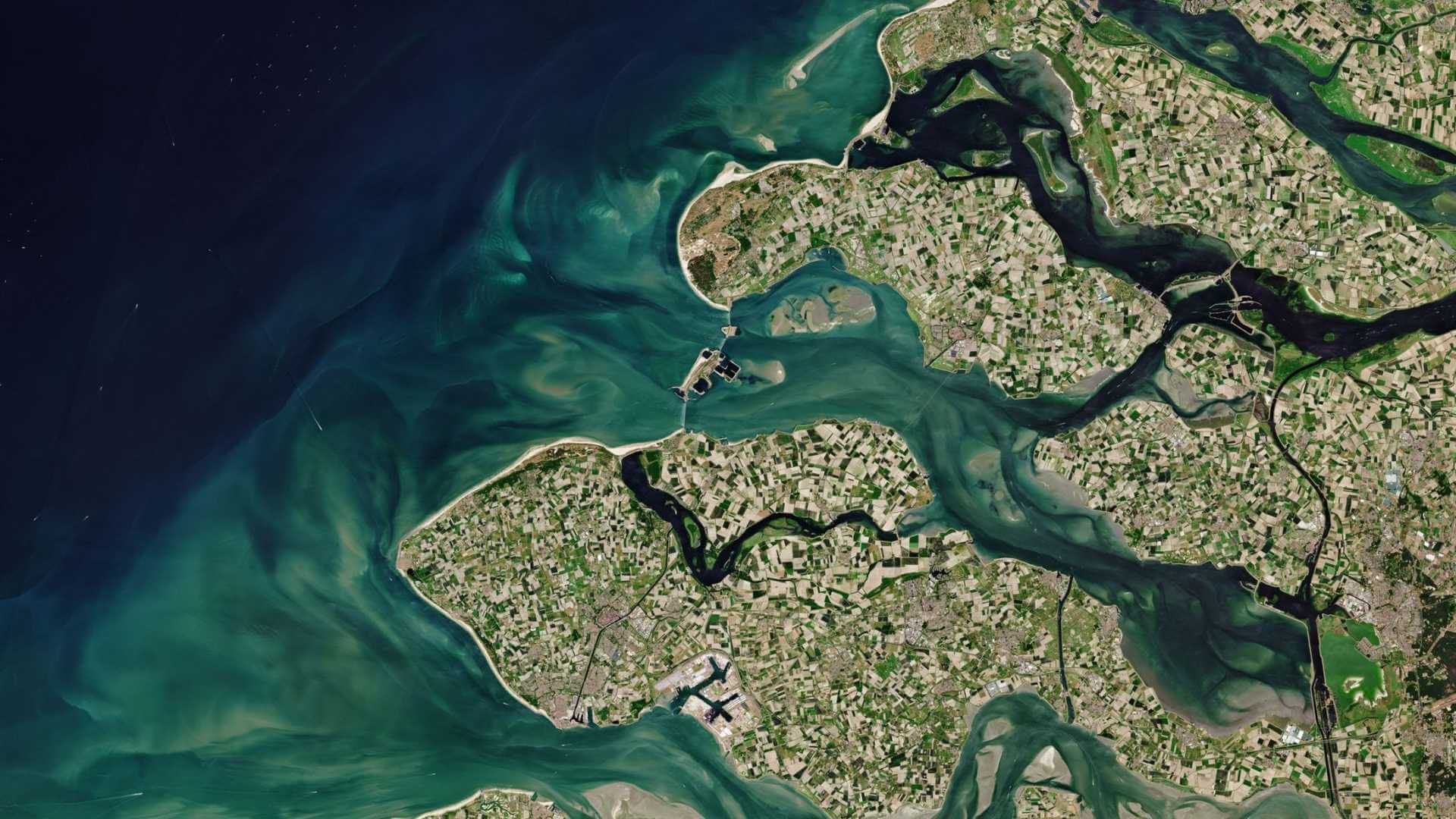
    This PlanetScope satellite image, acquired on 26 March 2020, shows part of Groningen Province in the Netherlands.

    Mallorca, Spain: As seen by PlanetScope

    Mallorca, Spain: As seen by PlanetScope

    This PlanetScope image from 28 July 2017 shows the Bay of Pollença at Mallorca.

    Lake Tanganyika, Burundi: As seen by PlanetScope

    Lake Tanganyika, Burundi: As seen by PlanetScope

    This PlanetScope image from 6 October 2020 shows the northern shore of Lake Tanganyika in Burundi.

    About PlanetScope

    The PlanetScope satellite constellation consists of multiple launches of groups of individual cubesats (Doves and SuperDoves). 

    Mission Parameters
    Orbit Altitude475 km - 525 km
    Orbit TypeSun-synchronous
    Orbit Inclination98°
    Repeat CycleDaily
    Equator Crossing Time9:30 - 11:30 am (local solar time)

    PlanetScope Objectives

    The PlanetScope constellation of more than 600 Dove and SuperDove satellites is able to image nearly all Earth's land every day.

    PlanetScope Instruments

    PlanetScope Camera

    The PlanetScope camera on each Dove cubesat operates currently in eight bands - red edge, red, green, green I, yellow, blue, coastal blue and near infra-red.

    Sensor TypeThree-band frame Imager or four-band frame Imager with a split-frame NIR filter
    (Dove-C) Four-band frame imager with butcher-block filter providing blue, green, red, and NIR stripes
    (Dove-R) Eight-band frame imager with butcher-block filter providing blue, green, red, red-edge, and NIR stripes (SuperDove)
    Spectral BandsCoastal Blue: 431 - 452 nm
    Blue: 465 – 515 nm
    Green I: 513 - 549 nm
    Green: 547 – 583 nm
    Yellow: 600 - 620 nm
    Red: 650 – 680 nm
    RedEdge: 697 – 713 nm
    NIR: 845 – 885 nm
    Ground Sample Distance (nadir)Dove-C: 3.0 m-4.1 m
    Dove-R: 3.0 m-4.1 m 
    SuperDove: 3.7 m-
    Frame Size24 km x 8 km (approximate) for Dove-C
    24 km x 16 km (approximate) for Dove-R
    32.5 km x 19.6 km (approximate) for SuperDove
    Maximum Image Strip per orbit20,000 km2
    Revisit TimeDaily at nadir
    Image Capture Capacity200 million km2/day

    PlanetScope Data

    DATA COLLECTIONS

    ESA is offering, for scientific research and application development, access to data from the full archive of the PlanetScope missions upon submission and acceptance of a project proposal. These collections are available as part of the Planet imagery offer.

    ESA will support as many high-quality and innovative projects as possible within the quota limit available, therefore only a limited amount of products can be made available to each project. 

    The following data collection is available:

    • PlanetScope Full Archive
    • PlanetScope ESA Archive

    Product Information

    NameDescriptionProduct Level
    PlanetScope Basic Scene ProductScaled Top of Atmosphere Radiance (at sensor) and sensor corrected product.
    The Basic Scene product is designed for users with advanced image processing and geometric correction capabilities.
    This product has scene based framing and is not projected to a cartographic projection.
    Radiometric and sensor corrections applied to the data.
    Level 1B
    PlanetScope Ortho Scene ProductOrthorectified, scaled Top of Atmosphere Radiance (at sensor) or Surface Reflectance image product suitable for analytic and visual applications.
    This product has scene based framing and is projected to a cartographic projection.
    Level 3A
    PlanetScope Ortho Tile ProductRadiometric and sensor corrections applied to the data. Imagery is orthorectified and projected to a UTM projection.Level 3B
    Tweet
    Share

    People also search for

    DataNewsMissionsTools and toolboxesActivitiesLearn & Discover
    European Space Agency
    Terms and conditionsCookie NoticePrivacy NoticeContact UsFAQComplaintsLeave feedback