

Featured
About Landsat Series
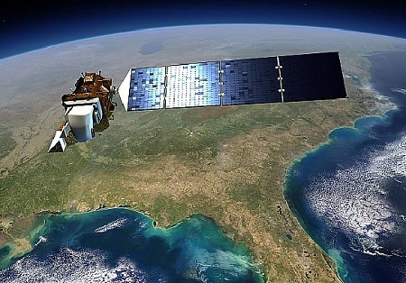
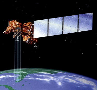
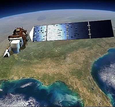
The Landsat Series is a joint USGS and NASA-led enterprise for Earth observation that represents the world's longest running system of satellites for moderate-resolution optical remote sensing for land, coastal areas and shallow waters.
The first Landsat mission was launched in 1972, and was the first Earth observation satellite with the goal to monitor the world's land. It was soon followed by successors, however the Landsat-6 satellite failed to achieve its orbit and the communication with satellite was never established. The series continues to this day, making Landsat the longest continuous Earth imaging programme in history.
Landsat Series Objectives
The objective of the Landsat Series is to image repetitively Earth's land and coastal areas with the aim of monitoring changes to those areas over time.
Landsat Series Missions

find out more

find out more
find out more