Flood in Europe: Czech Republic, Poland, Germany (1997) - Eastern Part, Magnified views
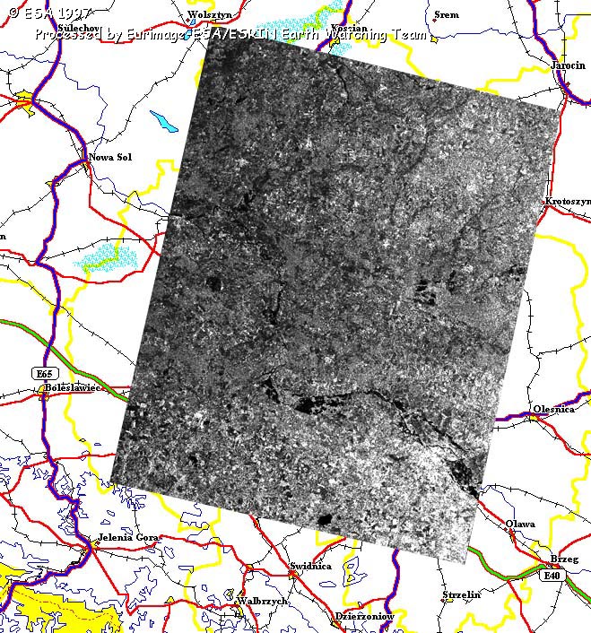
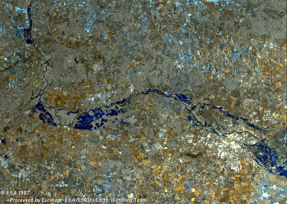
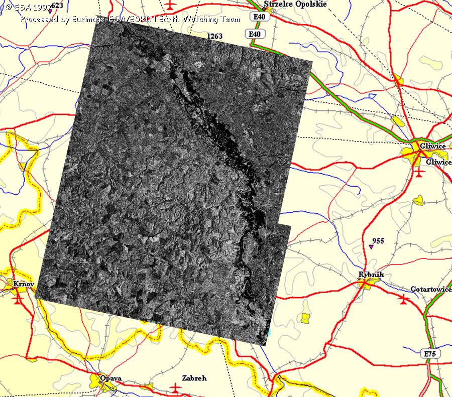
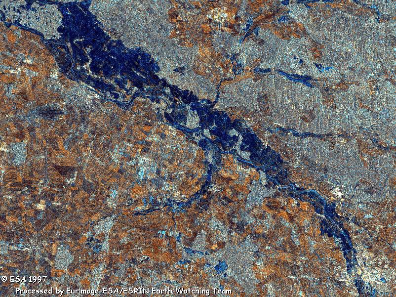
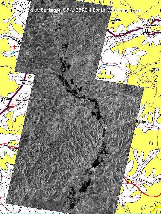
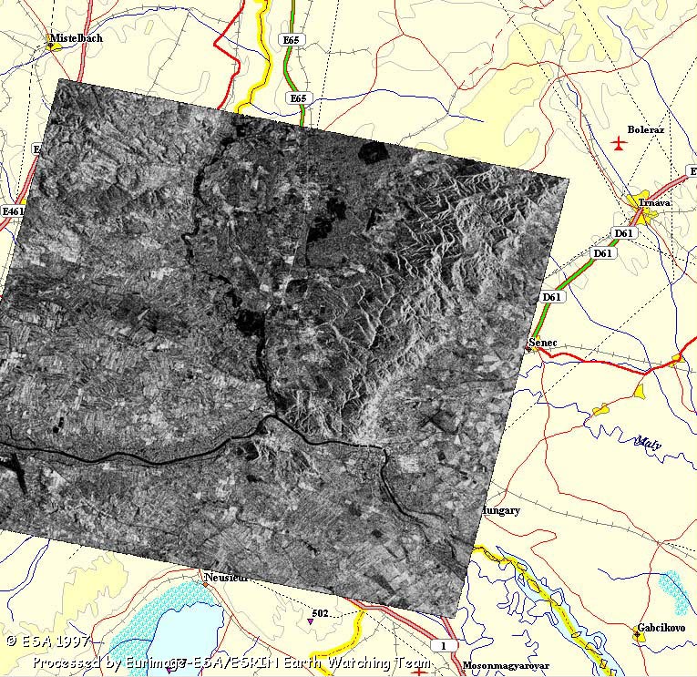
These ERS images provide views of the flooding in the Czech Republic and Poland. Click on the thumbnail images to view the full size versions.
|
||||||||||||||||
|
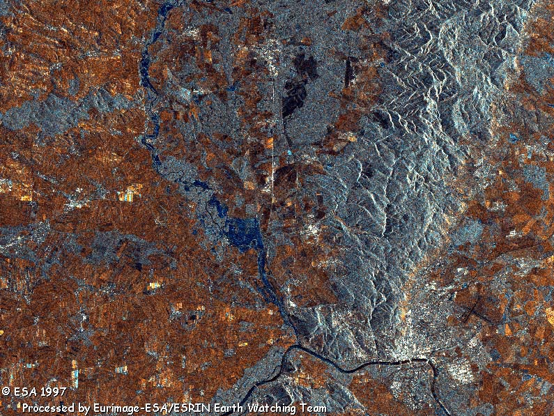
Flood in Europe: Czech Republic, Poland, Germany (1997) - Eastern Part, Magnified views
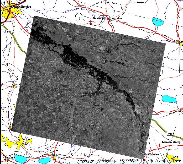
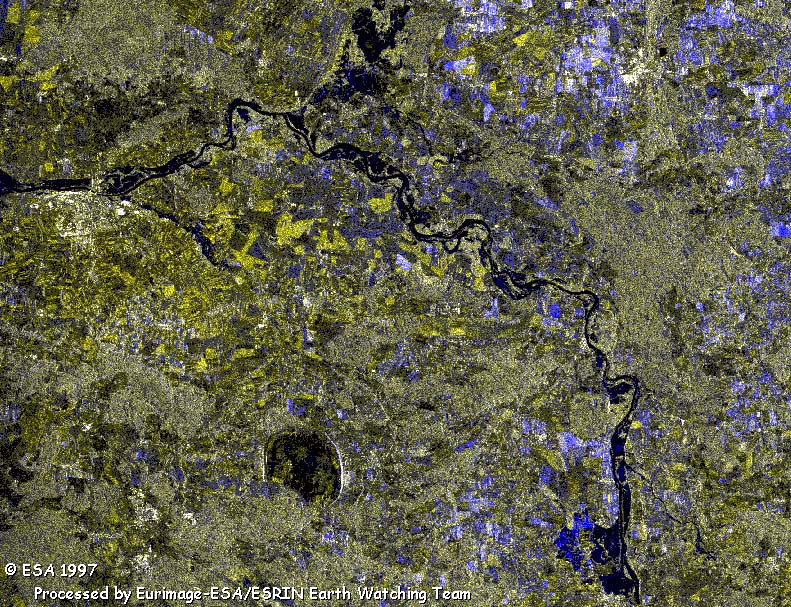
These ERS images provide views of the flooding in the Czech Republic and Poland. Click on the thumbnail images to view the full size versions.
|
||||||||||||||||