Lisbon, Portugal (1987 - 2000)
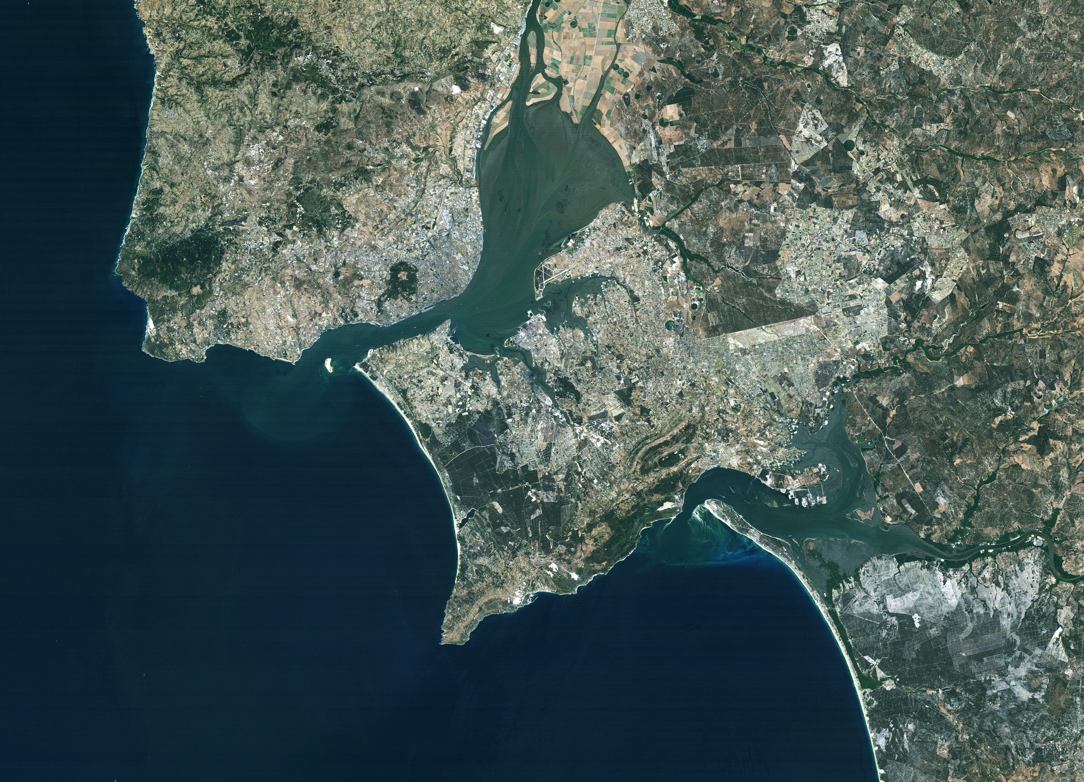
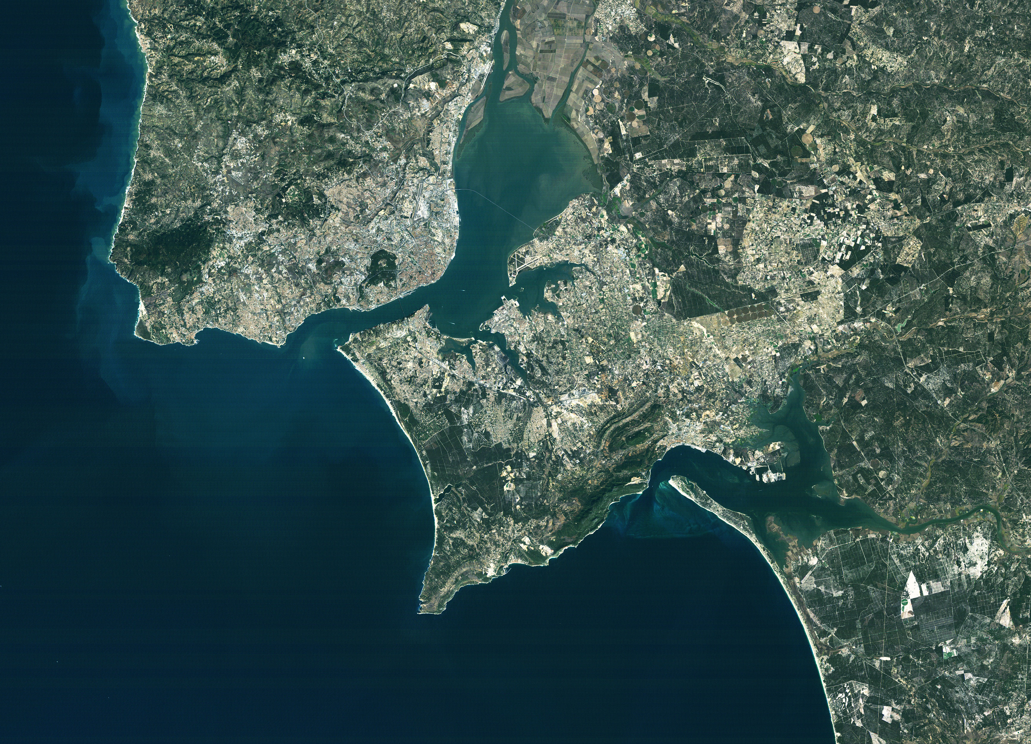
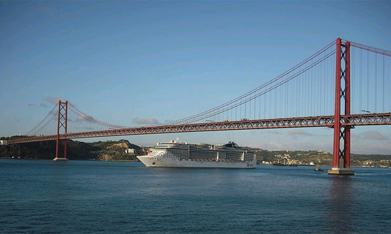
Lisbon, the capital city of Portugal, can be seen in these two Landsat images. The largest city in Portugal, with an estimated population of 3 million people, Lisbon is geographically the western-most capital in Europe, on the edge of the Iberian peninsula. Thanks to this strategic position on the coast of the Atlantic Ocean, and the safe harbour it hosts on the mouth of the River Tagus, Lisbon has long been a maritime port serving international trade and commerce. The city has been a popular port since Phoenician times, but became a major hub for commerce during the Age of Discovery; serving as a port of call between Europe and the America's, and remains an important commercial port today. Lisbon is a recognised Global City due to its importance to the global economy and geographical position. It is one of the economic centres of Europe and a popular tourist destination due to its warm climate. It is also one of the oldest cities in the world, with habitation dating back to Neolithic times, thus predating other major European cities. Archaeological remains of these settlements can still be seen in Lisbon today, as well as from succeeding nations that were drawn to the convenience of Lisbon's harbour. The source of the city's name is unknown, but historians speculate that it could have been Celtic, Phoenician or Roman in origin; deriving its name from what the harbour or the Tagus River. The city's continual urban development can be seen in these two images, and a particular sign of the changing times can be seen in the bridges that span the Tagus River connecting Lisbon (in the North-West of the image) with the other side of the Tagus. The smaller 25 de Abril Bridge can be seen in 1987, connecting Lisbon to the municipality of Almada, near the mouth of the harbour. This bridge was inaugurated in 1966 and was known as the Salazar Bridge until 1974, when it was renamed in honour of the Carnation Revolution. The addition of the Vasco da Gama Bridge can be seen in the view from 2000, spanning the harbour from Sacavém on the North side to the municipality of Alcohete on the South. The Vasco da Gama Bridge was officially opened in 1998 and spans a length of 17.2 KM, making it the longest bridge in Europe. The bridge was constructed to reduce the traffic on the 25 de Abril Bridge, and was named in honour of the famed Portugese explorer Vasco da Gama.
|
||||||||||||||||||||