 Washington, D.C., United States
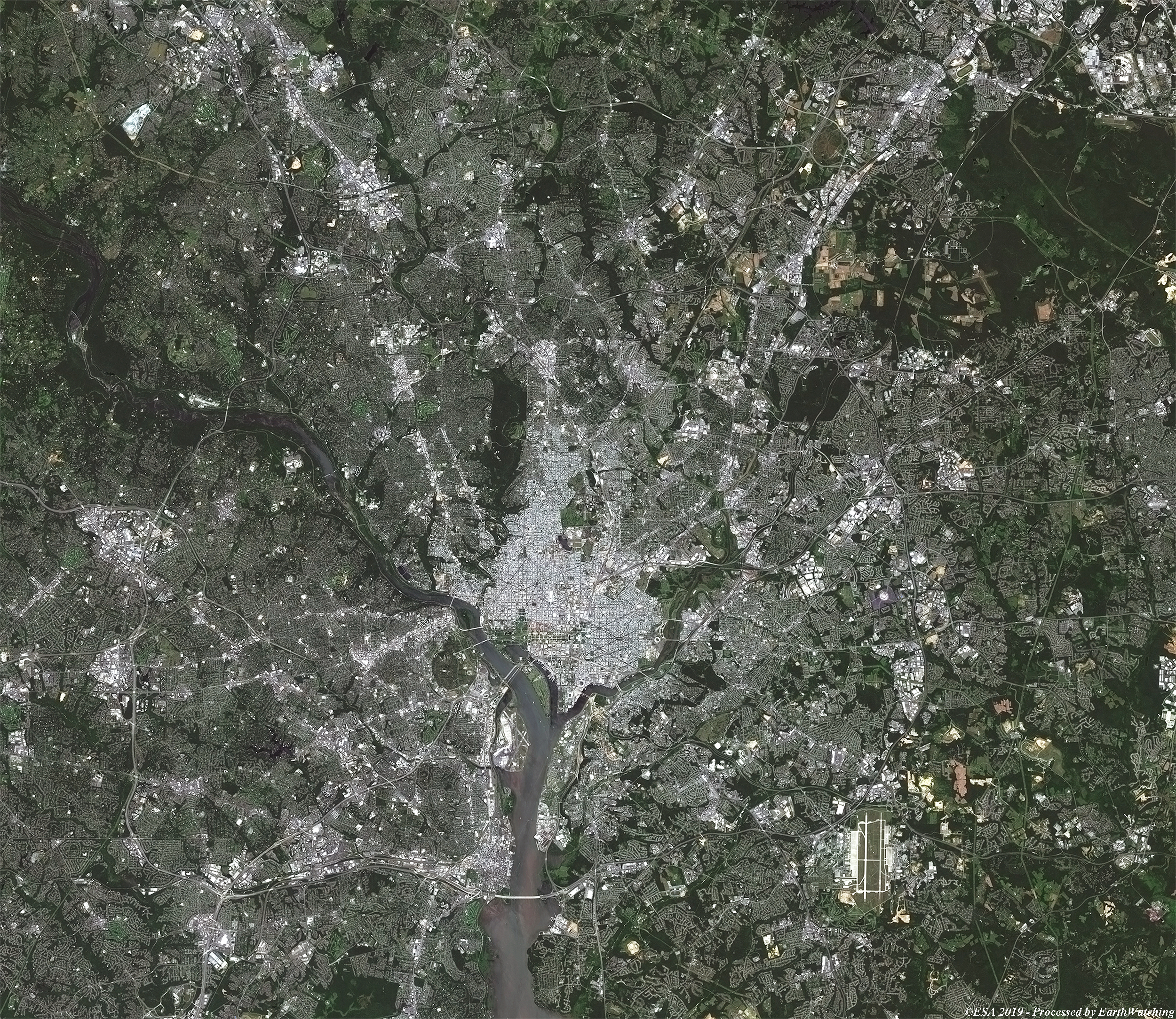
This image acquired by Copernicus Sentinel-2 shows the city of Washington, D.C., the capital of the United States of America. Two different bands were used in processing the image, and the comparison below shows the natural colour (bands 4, 3, 2) and false colour with a mix of visible and infrared (bands 8, 4, 3). The contrasting bands make it easy to identify urban areas and water bodies in the false colour image, and we can see the Potomac and Anacostia Rivers meeting at the south of the city in the centre of the image. The metropolitan area of the city has been expanding over time, so much so that today it leaves the confines of the district extending also over seven Maryland counties, five Virginia counties and five autonomous cities of the same state. 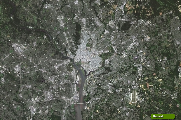 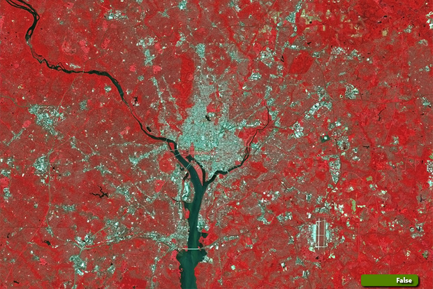 Sentinel-2 high resolution image (Natural colour) (JPG 5.6 MB) Sentinel-2 high resolution image (False colour) (JPG 7.6 MB)
|
||||||||||||||||