 Typhoon Hagibis, Japan
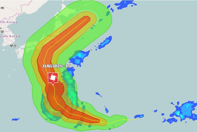
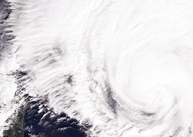
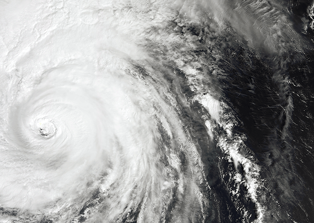
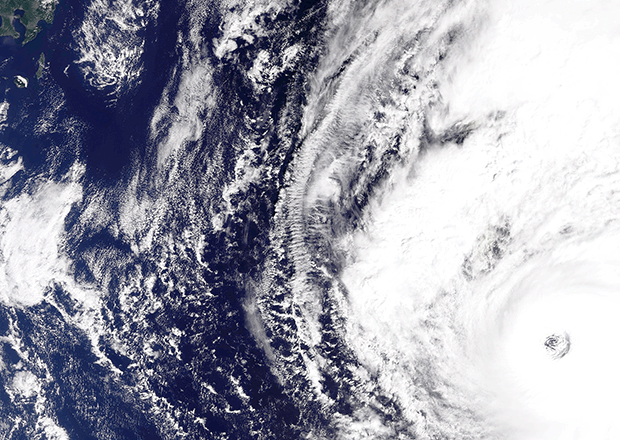
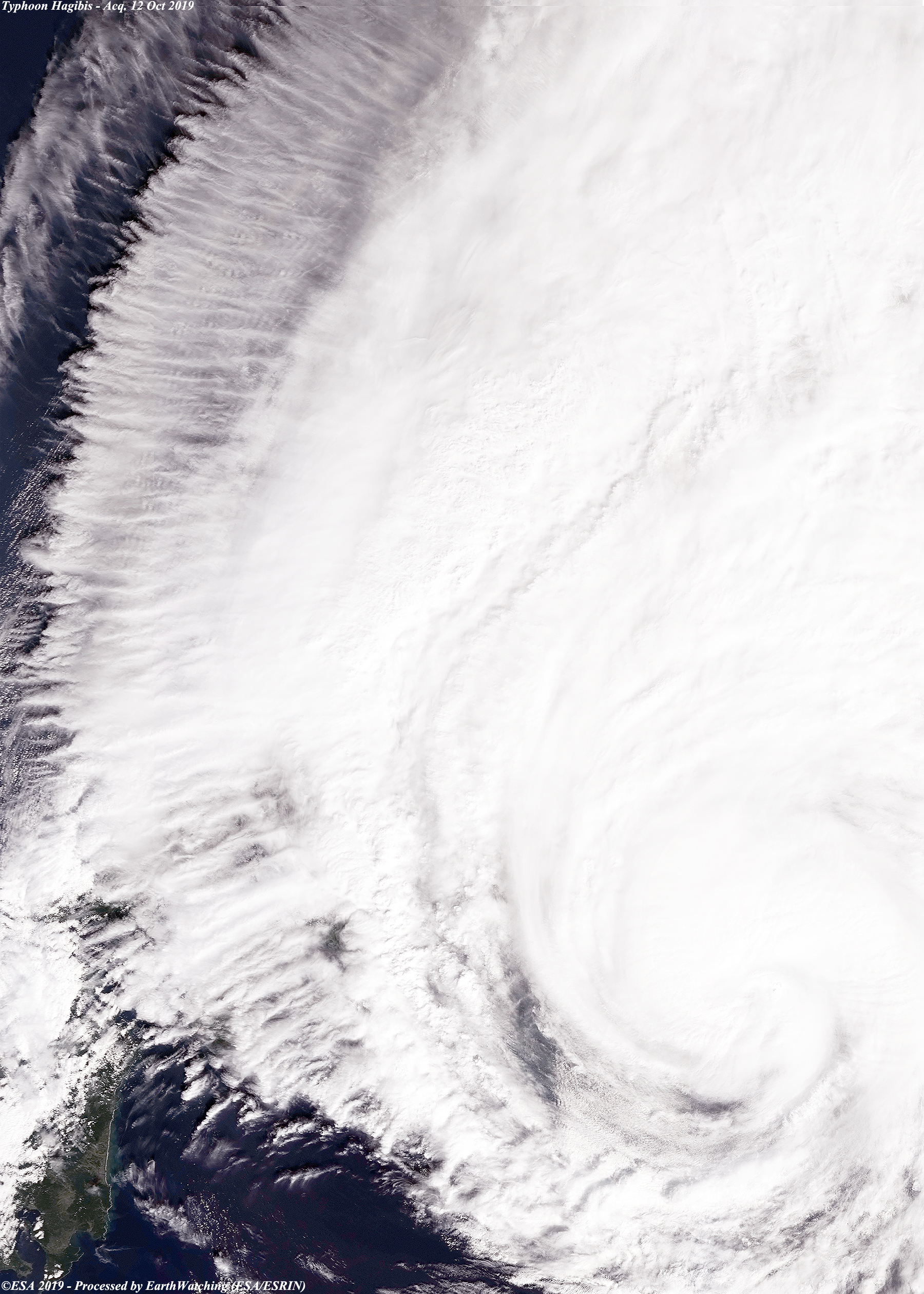
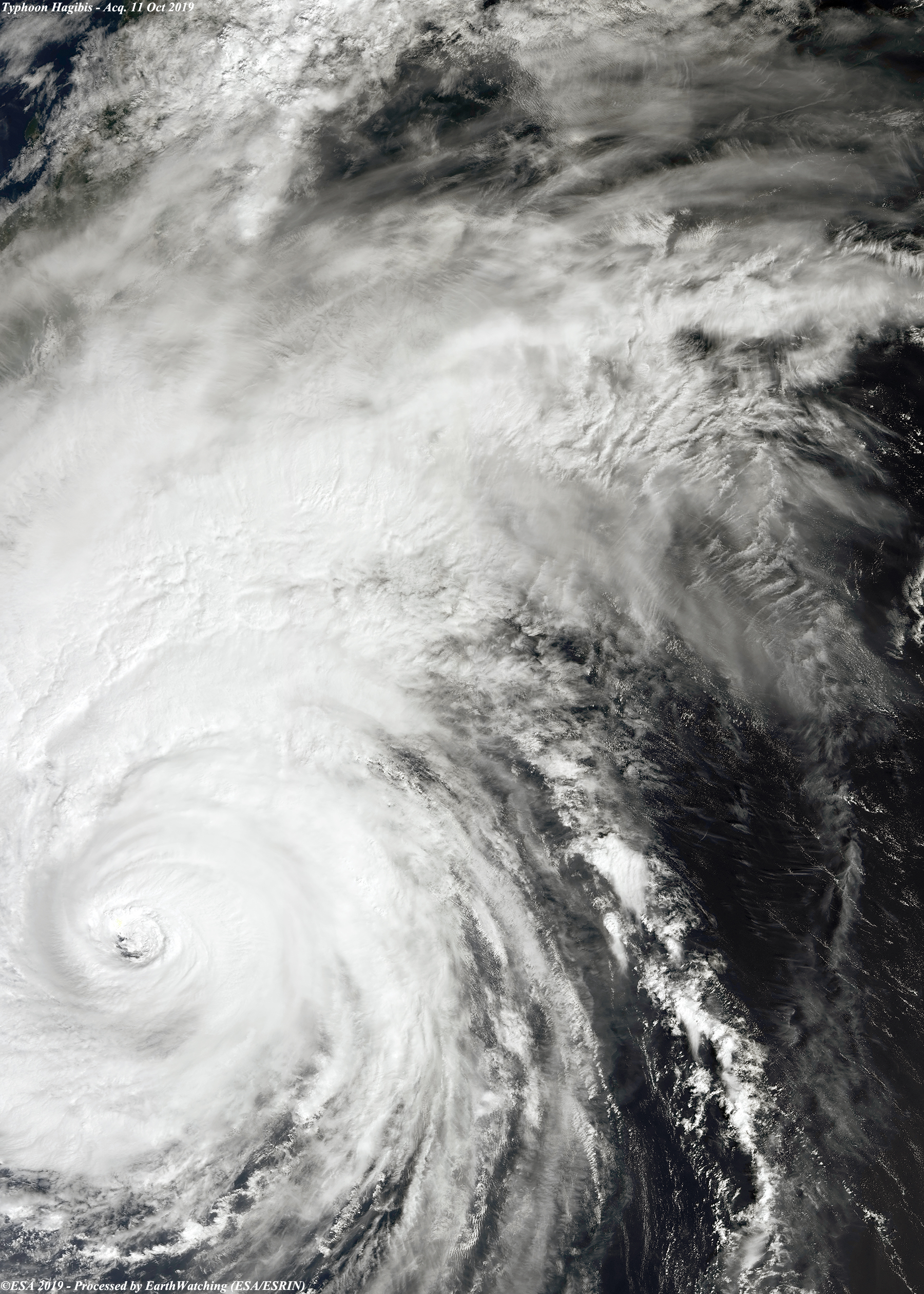
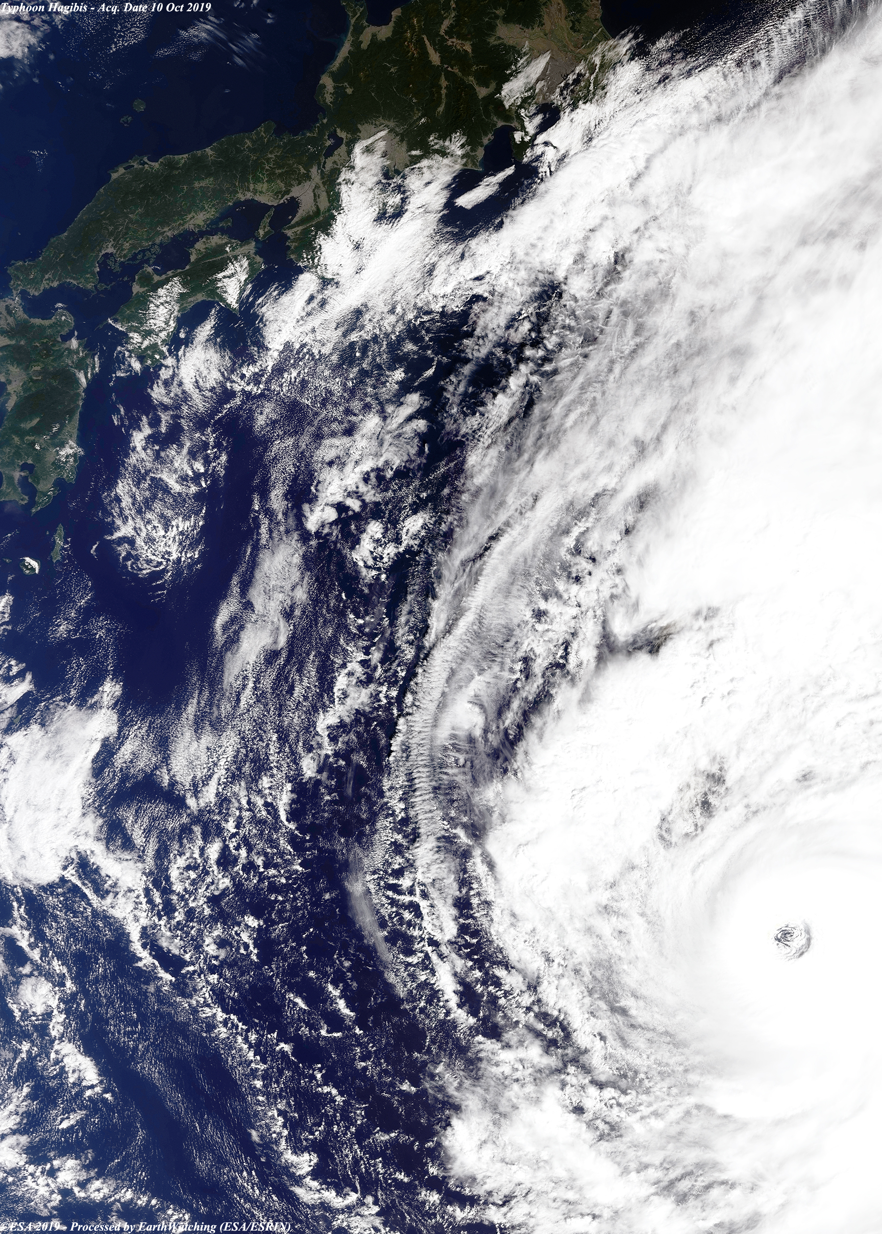
These images, acquired on 10, 11 and 12 October 2019 by the Copernicus Sentinel-3A satellite, show typhoon Hagibis tracking across the Pacific towards Japan. Hagibis made landfall on the main Island of Honshu and eastern Japan on 12 October, with wind speeds of 140mph. The capital Tokyo escaped the worst of the storm but other cities and towns across the country were inundated by water. Flights, trains and sporting events were cancelled across Japan for safety reasons. Hagibis weakened as it moved away from land but has left a trail of destruction stretching right across Honshu, from the Mie prefecture in the west, to Iwate in the north of Japan.
View high resolution image (Acq. 10 Oct 2019) (JPG 4.1 MB)
|
|||||||||||||||||