 Melbourne, Australia
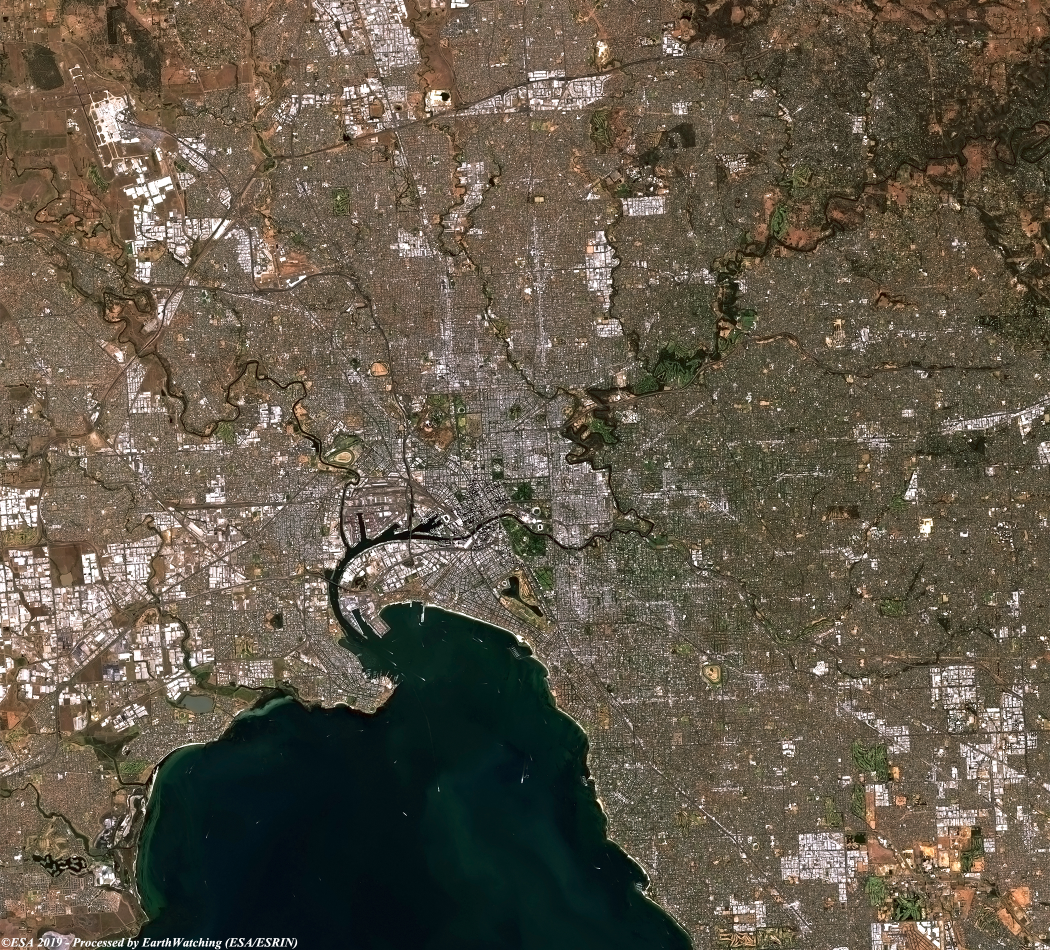
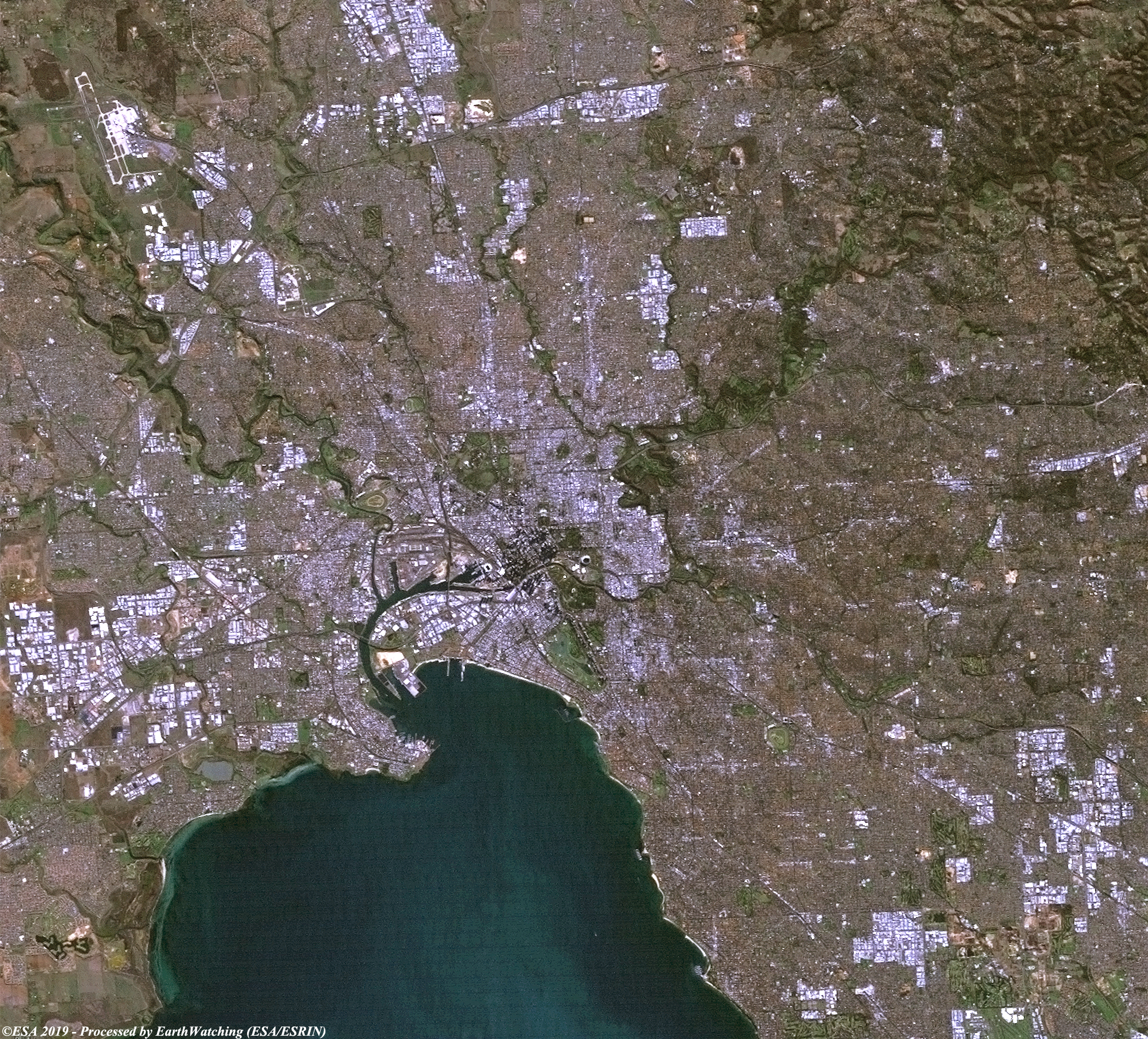
This image comaprison uses imagery from the Sentinel-2 and Landsat 5 satellites, to show Melbourne, Australia. Melbourne is the capital of the Victoria State, on the southeastern coast.. The city extends around one of the largest bays in the world, Port Phillip. The narrow entrance to the bay, called the Rip, between Point Lonsdale and Point Nepean, features strong tidal streams made turbulent by the uneven contours of the seabed. Melbourne is a vibrant city, containing a mixture of modern and Victorian architecture, and is centered around Federation square on the Yarra river. The centre being almost exclusively occupied by skyscrapers. The aim of this comparison is to show urban change during the 12 years between the imagery, which is most noticeable in the north, north-eastern sections of the city. 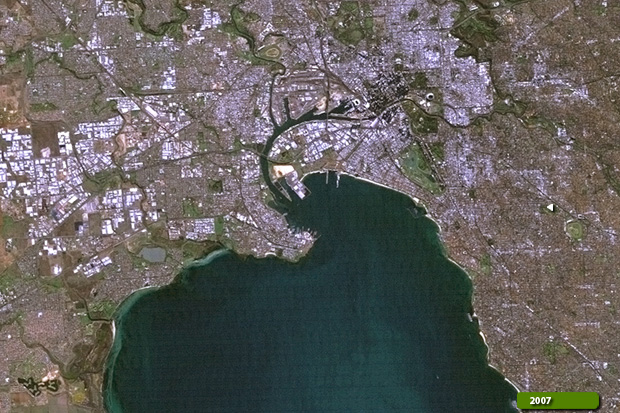 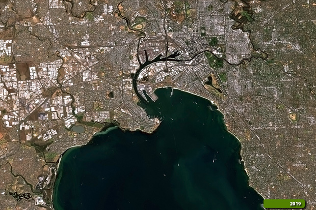 View high resolution image (Sent-2) (JPG 4.6 MB) View high resolution image (Land-5) (JPG 5.1 MB)
|
||||||||||||||||