 Hurricane Dorian, Bahamas
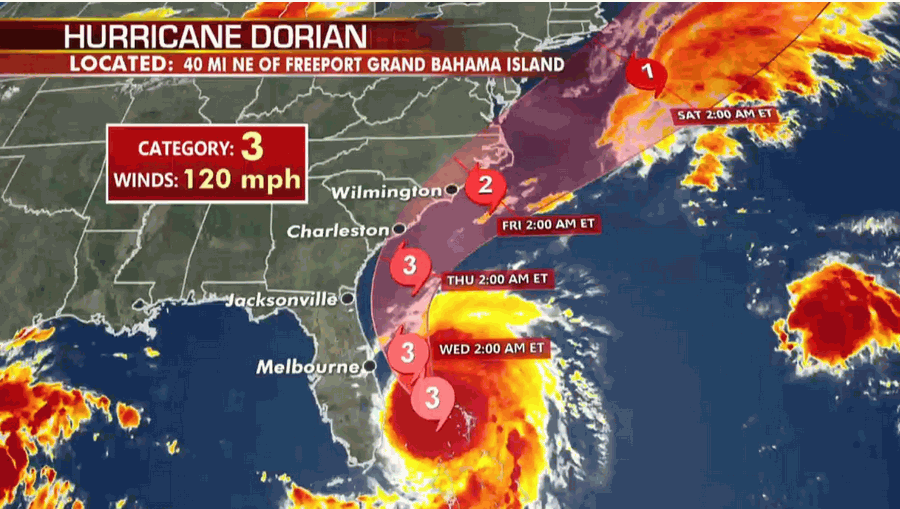
Monster storm Dorian hovered over the Bahamas as surging seawaters and ferocious winds sowed chaos in low-lying island communities, killing at least five people and spurring mass evacuations on the US east coast. Bahamas Prime Minister Hubert Minnis on Monday termed the hurricane a "historic tragedy" for the archipelago.
"Thus far, the Royal Bahamas Police Force has confirmed that there are five deaths in Abaco," Minnis told a news conference, referring to the islands where Dorian made landfall as a Category 5 storm on Sunday.
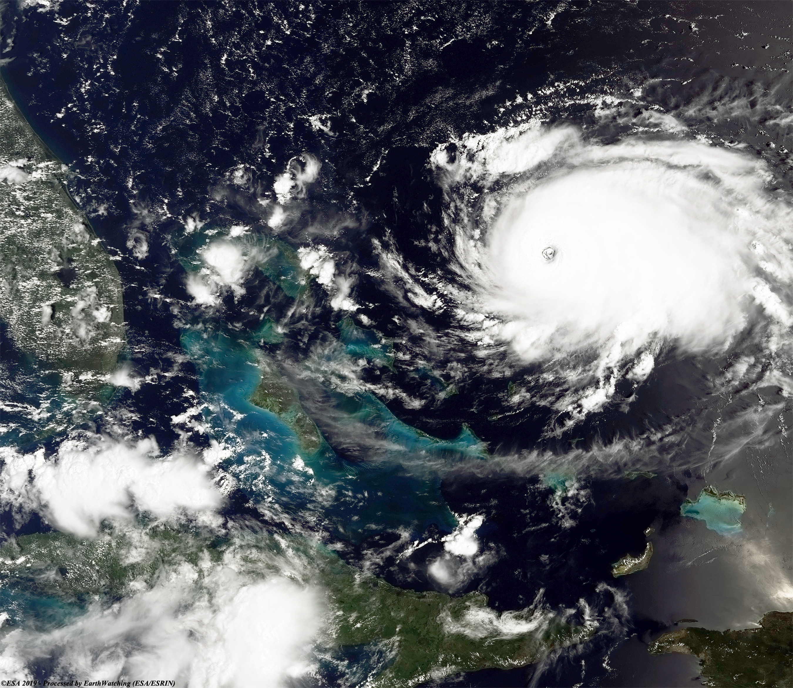
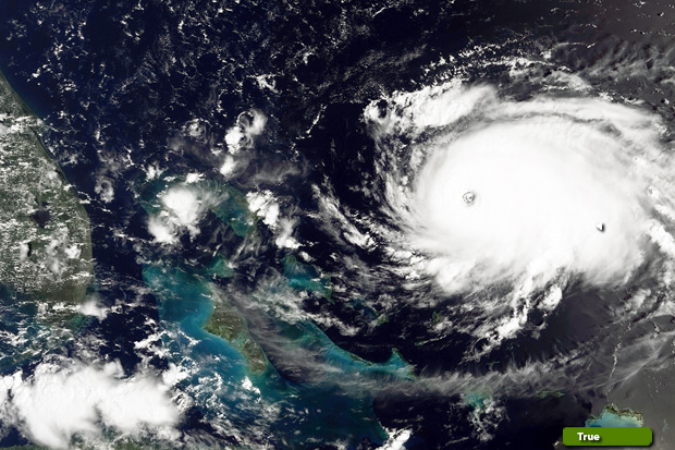 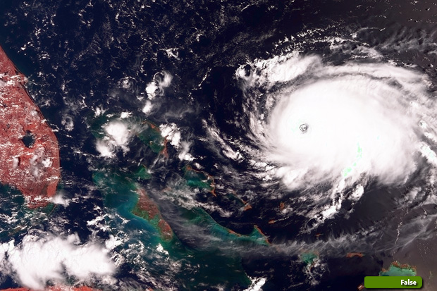 View high resolution image (Bands 7,6,4) (JPG 6.4 MB) View high resolution image (Bands 17,6,3) (JPG 6.4 MB)
|
|||||||||||||||||||