 Geoga Bridge, South Korea
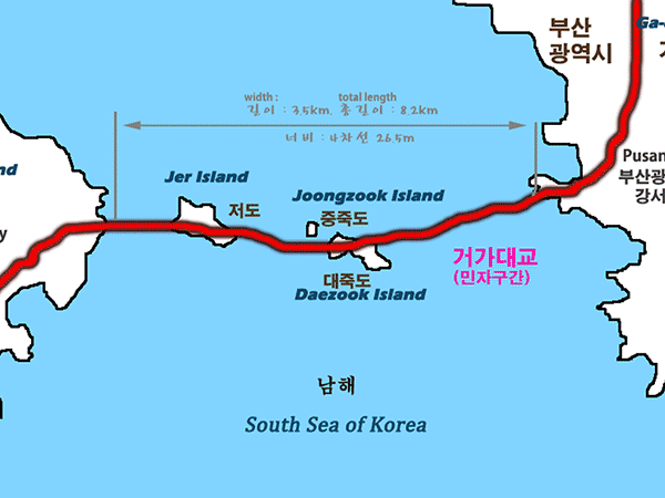
The Busan–Geoje Fixed Link (or Geoga Bridge) is an 8.2 kilometers bridge-tunnel fixed link that connects the South Korean city of Busan to Geoje Island. The name of the bridge is Geoga Bridge. The route opened on December 13, 2010 and shortens the travelling distance between Geoje Island and Busan by about 60 kilometers. The new road has two lanes in each direction and carries National Road 58. The fixed link opens Geoje Island to tourist-related development and saves US$300 million in costs related to traffic delays from the longer route. More informations is available on Wikipedia
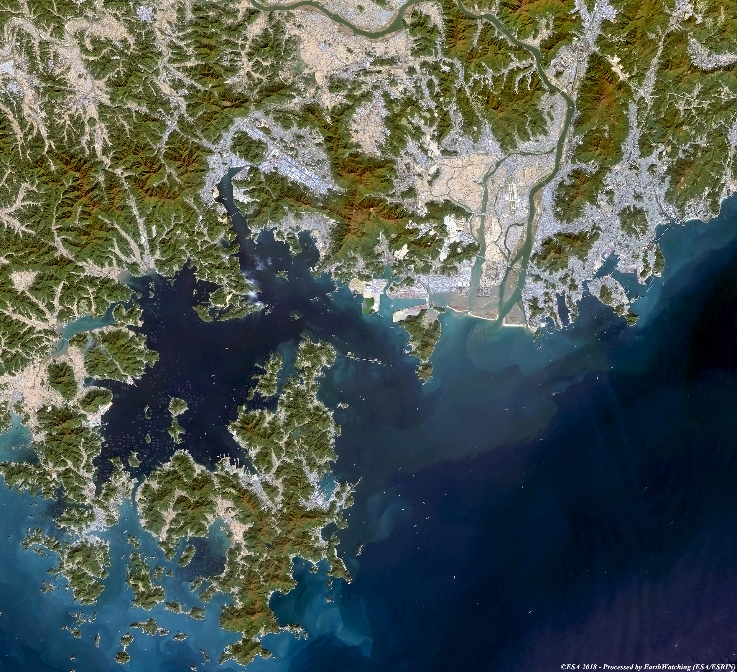
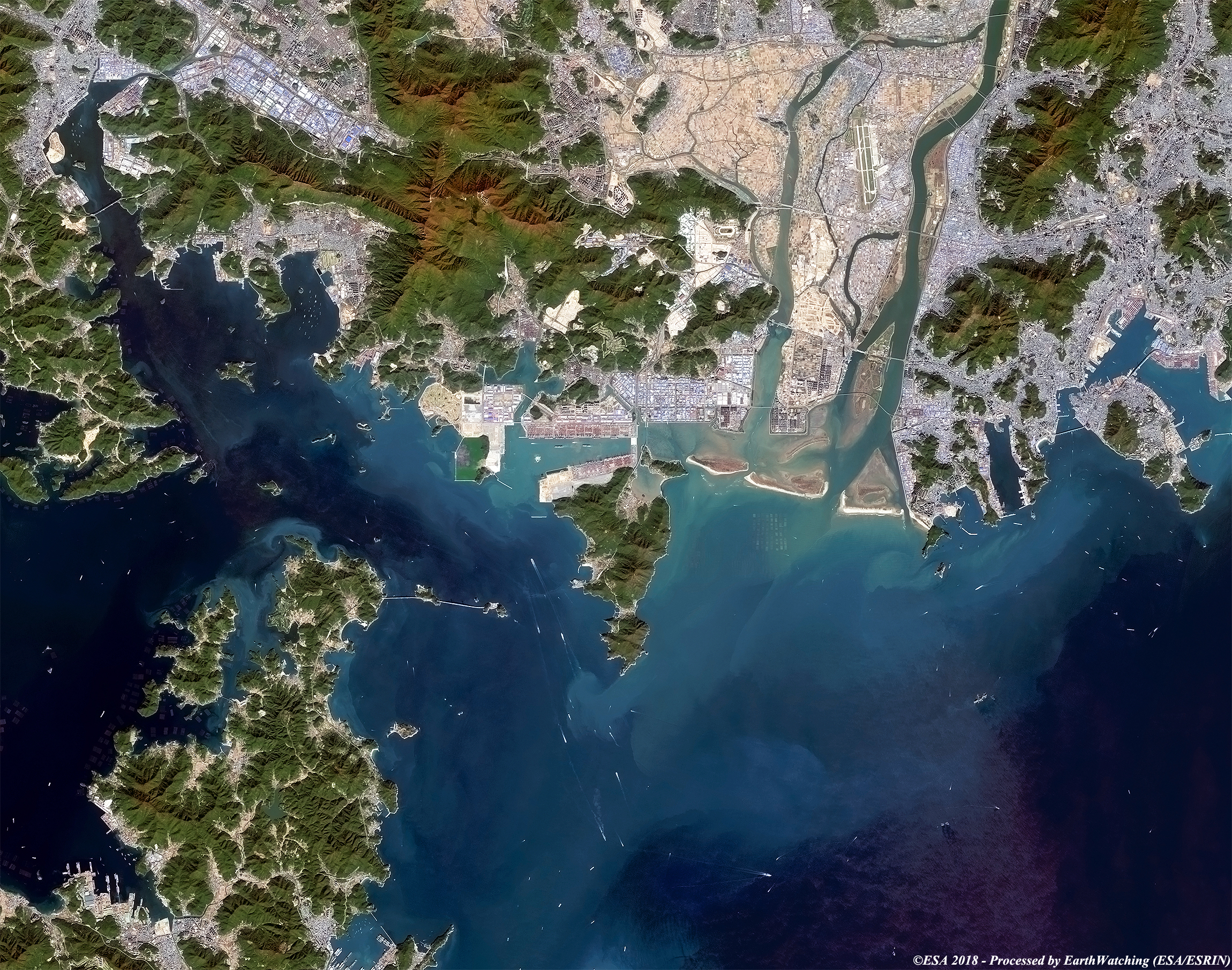
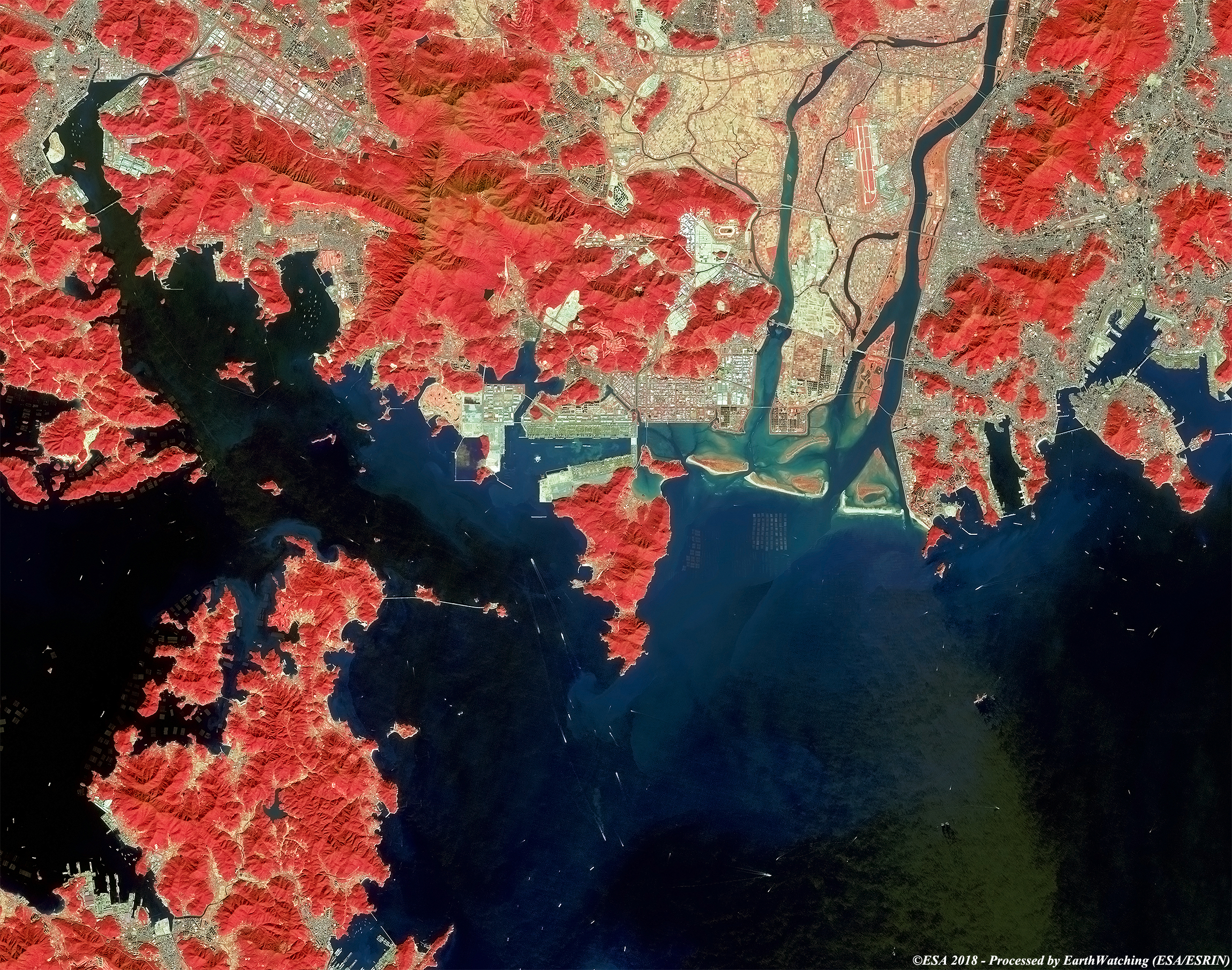
Today we focus our interest over the island of Geoje in South Korea, and in particular the city of Pusan and the Geoga Bridge project. The images used show this new spectacular project, using Landsat 8 and Landsat 5 imagery which were captured 12 years apart. The bridge was opened to reduce the distance between Geoje Island and Busan in 2010. Landsat full resolution data products are freely available for immediate download at: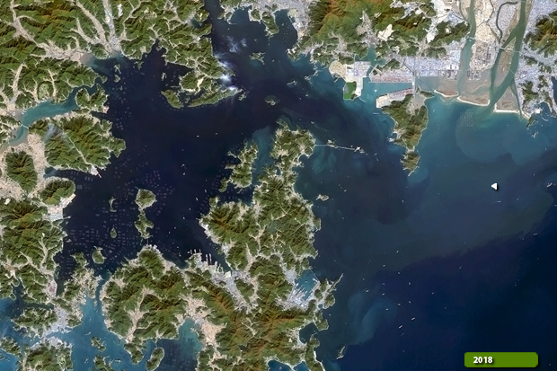 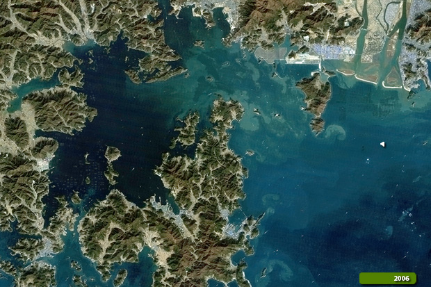 View Landsat 8 OLI high resolution image (JPG 2.7 MB) View Landsat 5 TM high resolution image (JPG 2.4 MB)
These Sentinel-2 images, using the bands in natural color and false color, are intended to show the scale and engineering beauty of the bridge project. Another aim of these images is to promote the opportunity to download Landsat data through the ESA portals (which is a third party mission), where images captured every day are made available in near real time to users and the scientific community, and the use of the new generation of satellites in the European Commission's Copernicus Sentinels to monitor changes around the world with high resolution. 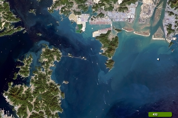 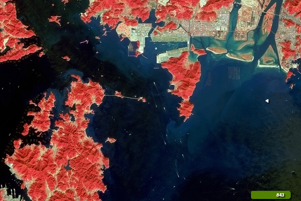 View Sentinel 2 high resolution image in natural colour (JPG 2.8 MB) View Sentinel 2 high resolution image in false colour (JPG 2.2 MB)
|
|||||||||||||||||||||||||||||||||