 Porto Alegre, Brazil
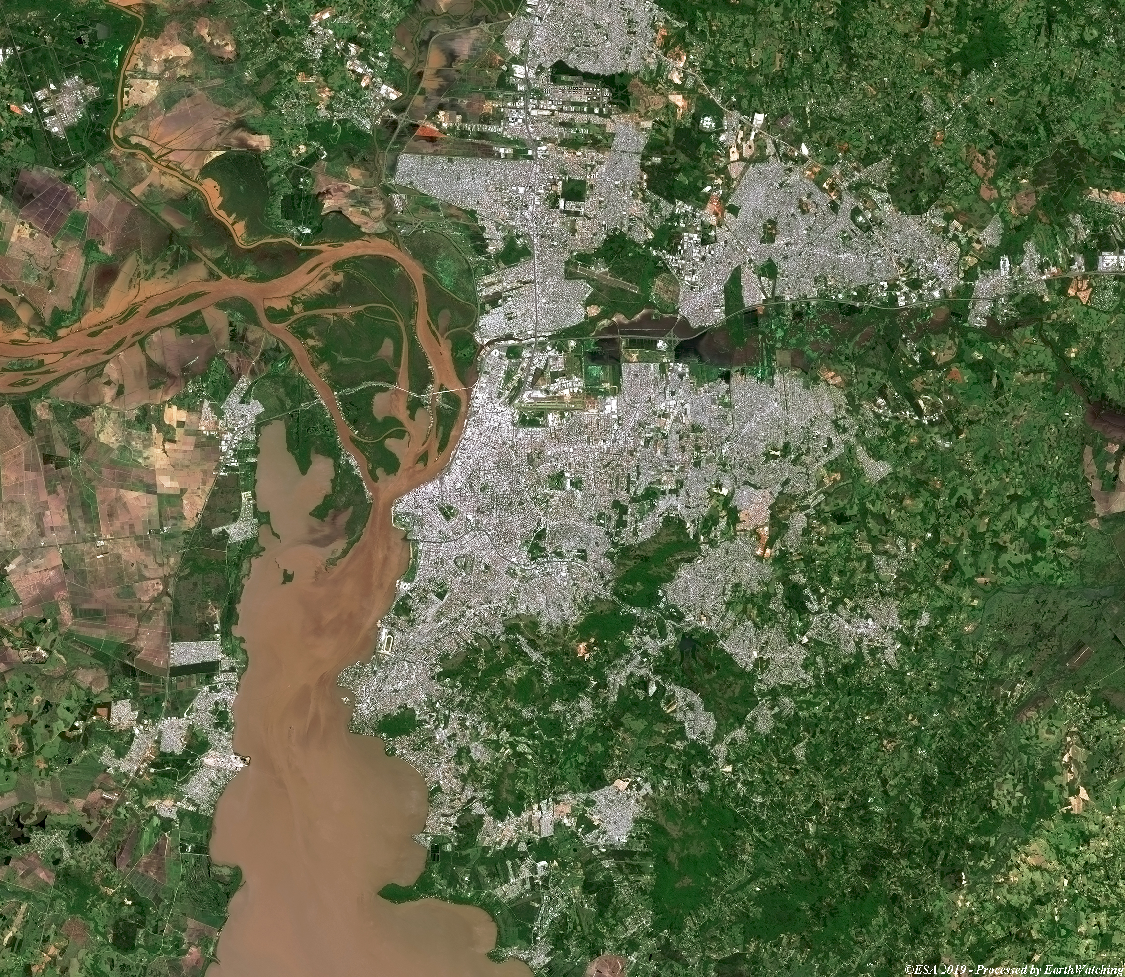
This comparison of images from the Copernicus Sentinel-2 satellite shows the city of Porto Alegre in southern Brazil. Porto Alegre lies near the Atlantic Ocean coast at the northern end of the freshwater Patos Lagoon along an arm of the lagoon known as the Guaíba River. The city is situated at the junction of five short but deep rivers that flow into the Patos Lagoon. The city has a long coastline along the Guaíba Lake, and its topography is punctuated by 40 hills. In the lake a maze of islands facing the city creates an archipelago where a unique ecosystem gives shelter to abundant wildlife. The comparison images below are obtained with the multispectral bands of the Sentinel-2 satellite and are processed in natural and false colour bands with the aim of highlighting urban areas. 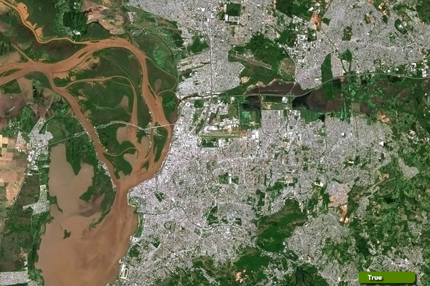 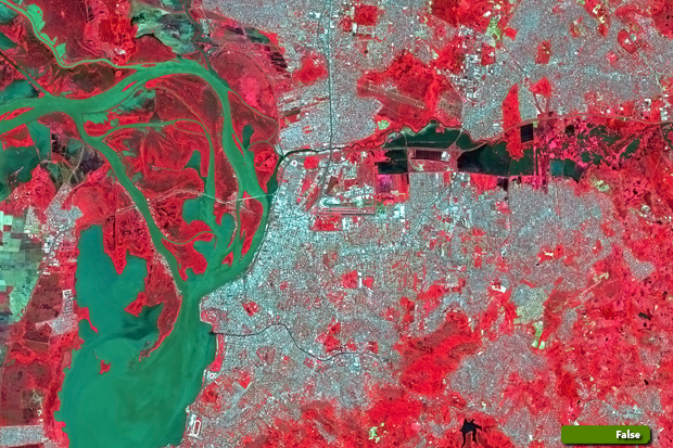 View Sentinel-2 high resolution image in natural colour (JPG 4.5 MB) View Sentinel-2 high resolution image in false colour (JPG 6.3 MB)
|
|||||||||||||||