 St. Petersburg, Russia - 2002
 View large format jpeg (225 kb)
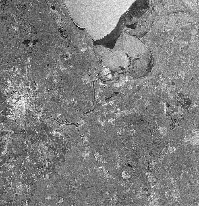
St. Petersburg, Russia On top: the most Southern part of Ladoga Lake in Northwestern European Russia (Karelia), the largest lake in Europe. Located on the heavily glaciated Baltic Shield, the lake has low and marshy shores in the South. It freezes every year for two months in the North and four months in the South; however, what one can see on the surface is not ice but rather the wind effect as detected by SAR (the only frozen areas along the shore are in dark tones). To the right: because of the difficulties in navigation, the lake's southern shore is paralleled by the Ladoga Canals, 160 km long, connecting the Svir and Neva rivers and forming part of the Mariinsk System (see the Volga-Baltic Waterway, a series of canals, locks and rivers) and the Baltic-White Sea Canal. On the left shore: the outlet of the Neva (see its course in the image), which empties into the Gulf of Finland at St. Petersburg. Along the right bank of the Neva: rearing ponds used for fish farming. At the left edge of the image: the city of St. Petersburg, located in the Neva river delta on numerous islands, a fact that prompted some observers to call it 'The City on 101 Islands'. Below it: Pulkovo international airport. City's centre: the river Neva and its primary delta arms divide it into four distinct districts. |
||