|
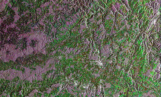
Luxembourg - 2004
View large format jpeg (316 kb)
Luxembourg This Synthetic Aperture Radar (SAR) multitemporal colour composite image is centred over the country of Luxembourg. Visible also are the surrounding countries, Germany to the east, France to the south, and Belgium to the west and north. Luxembourg consists mainly of the upper basins of the rivers Sauer and Alzette. The highest point is Buurgplaatz, in the Ardennes Plateau in the north. The southern two-thirds of the country is a rolling plateau called the Bon Pays. The image is made of three ERS-2 SAR PRI (Precision Radar Image) images acquired on different dates and assigning a colour (RGB) to each date of acquisition. Technical Information:
Coordinates:
NE Lat/Long: N 50.11 / E 6.49 |
||


