 Bucharest, Romania - 2004
 View large format jpeg (261 kb)
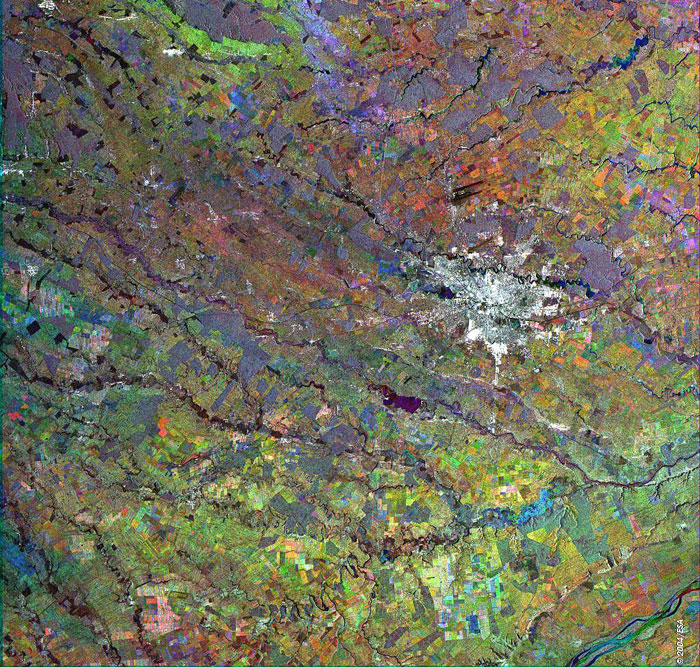
Bucharest, Romania This Synthetic Aperture Radar (SAR) multitemporal colour composite image shows the city of Bucharest (large bright area), the capital of Romania and the country's principal economic centre, located in the southeast of the country along the banks of the Dîmbovita River. The city has a total surface of 226 km2. The topography of the area is predominantly low-lying wetlands. The image is made of three ERS-2 SAR PRI (Precision Radar Image) images acquired on different dates and assigning a colour (RGB) to each date of acquisition. Technical Information:
Coordinates:
NE Lat/Long: N 44.74 / E 26.57 |
||