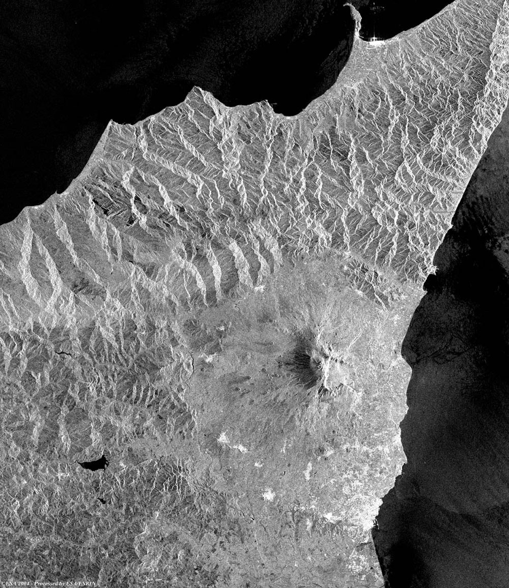
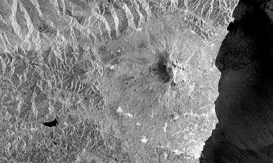
This Envisat ASAR image, acquired on 21 March 2004, shows Mount Etna, (ancient Aetna), a volcano in southern Italy, on the eastern coast of Sicily. The base of Mount Etna, the highest active volcano in Europe, covers an area of 1600 sq km and its height, which changes with time, was 3,323 m in the late 1990s. The mountain is an immense cone, with its regularity of outline broken by fissures and some 250 minor cones. The Valle del Bove, an abyss, 4.8 km wide, on the eastern flank of the mountain, is the original crater, the centre of the volcano having shifted to form the present crater on the summit. The slopes of the mountain are divided into three zones of vegetation: the fertile cultivated zone, which extends to 900 m; the forested zone; and the desert zone, which extends upward from 1,900 m, with the highest peaks covered by snow most of the year. The cultivated zone is densely populated and contains numerous villages and the towns of Catania, Acireale, and Nicolosi. From Catania, the main station on the circumferential railway, a road extends to 1,881 m connecting with a cable line that reaches 2,915 m.
Back to top
 Browse SAR Events by Year