- All Categories (32126)
- Data (70)
- News (163)
- Missions (132)
- Events (73)
- Tools (8)
- Activities (19)
- Campaigns (30)
- Documents (31631)
ACTIVITIES
Find the activities you need.
Activity - Quality
SCIRoCCo
cooperation of scatterometry experts aimed at promoting the continuing exploitation of ESA's unique 20 years' worth of ERS
Activity - Quality
REAPER
The REAPER (REprocessing of Altimeter Products for ERS) project covers both the ERS-1 and the ERS-2 altimetry missions.
Activity - Projects
Dragon Cooperation Programme
The Dragon Programme focussed on science and applications development in China using mainly data from the ERS and Envisat
Activity - Quality
LTDP ALTS: ATSR Long Term Stability Project
The first ATSR instrument, ATSR-1, was launched on board ESA's European Remote Sensing (ERS) satellite, ERS-1 in July 1991
Activity - Quality
SEOM CAWA
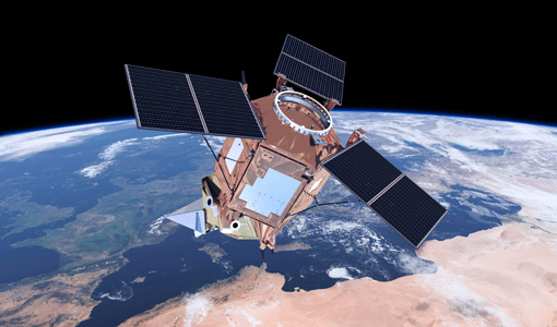
The Sentinel-3 mission objective is to measure sea surface topography, sea and land surface temperature, and ocean and land
Activity - General activities
GSCB and LTDP
TerraSAR-X - Germany Based on their experience with SAR technology from various national (SIR-C, SRTM) and ESA missions (ERS
Activity - Cal/Val activities
UV nadir viewing galleries
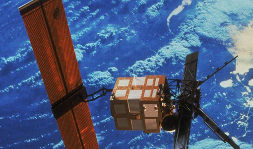
The ERS program was composed of two missions, ERS-1 and ERS-2, which were launched into the same orbit in 1991 and 1995 respectively
Activity - Projects
Dragon 3 Cooperation Programme
-1 & ERS-2 SAR (ERS) SCAT ATSR RA-1 Product levels Soil moisture products RAL UK BRAT (Broadview Radar Altimetry Tutorial
Activity - Projects
SAFE (Standard Archive Format for Europe)
ERS Envisat GOCE JERS-1 Landsat ERS Mission Title Date Representation Information Packages 18/02/2015 SAFE ERS Mission Control
Activity - Fiducial Reference Measurements
FRM4ALT: Fiducial Reference Measurements for Altimetry
sea-level changes, the circulation of the ocean, significant wave heights, sea ice freeboard and a variety of other parameters
Activity - Fiducial Reference Measurements
FRM4STS: Fiducial Reference Measurements for validation of Surface Temperatures
find out more Sentinel-3 The primary objective of SENTINEL-3 is marine observation, and it will study sea-surface topography
Activity - Fiducial Reference Measurements
FRM4SOC: Fiducial Reference Measurements for Satellite Ocean Colour
ocean, land, atmospheric, emergency, security and cryospheric applications.The mission provides data continuity for the ERS
Activity - General activities
International Charter Space and Major Disasters
Historically, ESA provided data from the ERS and Envisat missions until Envisat ended operations in 2012.
Activity - Projects
Contribution of Swarm data to the prompt detection of Tsunamis and other natural hazards
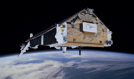
coupling processes and interactions between the ionosphere/magnetosphere, the lower atmosphere and the Earth's surface and sea
Activity - Projects
Swarm4Anom
Two well known examples of this phenomenon are the Weddell Sea Anomaly (WSA) and the mid-latitude nighttime summer anomaly
Activity - Projects
Characterization of IoNospheric TurbulENce level by Swarm constellation
can interfere and influence radio signals propagation and the Global Navigation Satellite System (GNSS), used for air and sea
Activity - Instrument characterisation and algorithm studies
PV-LAC-COAST
Greenwood Diurnal variability of turbidity and light attenuation in the southern North Sea from the SEVIRI geostationary
Activity - Quality
EDAP
monitoring military threats, observing glacial meltwater dynamics, coordinating disaster response, detecting vessels at sea
Activity - Instrument characterisation and algorithm studies
PV-CDRR
Part 1: Technique and validation for night-time imagery over land and sea.


