- All Categories (26)
- News (8)
- Events (6)
- Tools (1)
- Activities (1)
- Campaigns (1)
- Documents (9)
News - Events and Proceedings
Φ-Week Triumphs
Opening Session Title: Φ-Week's Opening Session Description: During the fourth edition of ESA’s Φ -Week, Josef Aschbacher, current
Document - Product Specifications
WorldDEM-Technical-Specification.pdf
This document describes the specification and format of the TerraSAR-X/TanDEM-X WorldDEM(TM) product portfolio. It provides a description of the post-processing (editing) process, the characteristics of the Digital Elevation Models and the ancillary data that are collected and/or generated during the data finishing process as well as the delivery formats.
Event - Meeting
VH-RODA and CEOS SAR workshop
The workshop provided an open forum for the presentation and discussion of current status and future developments related
Document - General Reference
Third Party Missions Brochure
This brochure summarises ESA's Third Party Missions programme, providing a timeline and examples of content related to some of the missions.
Campaign
TerraSARSIM
The current mission design envisages flying two separate radars on separate platforms.
Document - Proceedings
SEASAR-2012-sessions-summaries-seed-questions-recommendations.pdf
This document gathers together the sessions summaries with seed questions discussion and recommendations of the SEASAR 2012 workshop.
Event - Workshop
SEASAR 2012
Aouf 14:00 - 14:20 Towards consistent inversion of wind, waves and surface current from SAR Bertrand Chapron (IFREMER, France
News - Events and Proceedings
National missions in the spotlight at the Living Planet Symposium
two sessions tomorrow, Thursday 26 May, to introduce attendees to the profusion of national Earth observation missions currently
News - Success Stories
Long-term satellite data show wind farms can affect local air currents
Long-term measurements allow before and after comparison Data from the heritage Envisat satellite currently maintained accessible
News - Thematic area articles
How to use space data to probe humankind’s ancient past
SkySat captures Angkor Wat in Cambodia TPMs that are currently providing high resolution or very high resolution imagery
News - Thematic area articles
How scientists use space data to help advance the energy transition
To build on the current project, the research team plans to use data from ESA’s Third Party Missions programme, which are
News - Thematic area articles
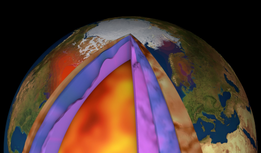
How ESA uses space data to explore deep Earth
Swarm maps core dynamics The swirling, conducting iron in Earth’s liquid outer core create powerful electric currents, which
Activity - General activities
GSCB and LTDP
Envisat data are used in many fields of Earth science, including atmospheric pollution, fire extent, sea ice motion, ocean currents
Event - Meeting
GRSG 2011 Workshop and AGM
The current membership includes geologists and remote sensing experts employed within industry, academia and government agencies
Document - Proceedings
Fringe-2011-workshop-session-summaries.pdf
This document contains the session summaries from the session summaries of the Fringe 2011 workshop.
Document - Proceedings
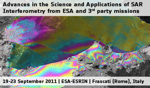
Fringe-2011-workshop-recommendations.pdf
This document contains the recommendations from the session summaries of the Fringe 2011 Workshop.
Event - Workshop
Fringe 2011 Workshop
The Fringe series of workshops started in 1992 and they are currently organised by ESA every two years.
Event - Workshop
Fringe 2007 Workshop
Is it possible to uniquely identify a spatially correlated interferometric phase error due to ionosphere using current sensors
Document - Proceedings
EO-Summer-School-7-Active-microwave-remote-sensing-of-land-surface-hydrology.pdf
This presentation from ESA's EO Summer School 7 describes active microwave remote sensing of land surface hydrology


