- All Categories (33)
- Data (1)
- News (2)
- Missions (1)
- Events (6)
- Tools (1)
- Activities (3)
- Documents (19)
News - Thematic area articles
Satellites reveal changes to Earth’s icy zones
By combining information collected by current and previous missions, researchers can estimate how the cryosphere is evolving
Document - General Reference
Heritage Missions brochure
This brochure describes ESA's Heritage Space Programme and includes infographics describing some of the missions in the programme.
Document - General Reference
Third Party Missions Brochure
This brochure summarises ESA's Third Party Missions programme, providing a timeline and examples of content related to some of the missions.
Document - Technical Note
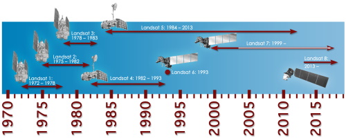
Technical Note on Quality Assessment for Landsat 1-7
Technical Note on Quality Assessment for Landsat 1-7
Event - Workshop
Coastal and Marine Applications of SAR Workshop 2003
Applications were specifically focussed on wind, waves, sea ice, and currents.
News - Events and Proceedings
Φ-Week Triumphs
Opening Session Title: Φ-Week's Opening Session Description: During the fourth edition of ESA’s Φ -Week, Josef Aschbacher, current
Activity - General activities
GSCB and LTDP
Envisat data are used in many fields of Earth science, including atmospheric pollution, fire extent, sea ice motion, ocean currents
Document - Proceedings
Fringe-2011-workshop-recommendations.pdf
This document contains the recommendations from the session summaries of the Fringe 2011 Workshop.
Mission - Third Party Missions
Multi Spectral Scanner (MSS) Processor Releases
GCP displacement B TM radiometric calibration Update to radiometric calibration strategy for TM reflective bands (Dark Current
Event - Workshop
POLinSAR 2013
Snow, Land Ice and Sea Ice Monitoring Hazards: Fire Monitoring, Volcanoes, Flooding, Earthquake Other applications Past, current
Document - Conference Presentation - Poster
3_towards_automated_classification.pdf
Toward automated classification of brightness fronts in RADARSAT-2 images of the ocean surface Christopher Jones (Dalhousie University Halifax, Canada)
Event - Workshop
SEASAR 2012
Aouf 14:00 - 14:20 Towards consistent inversion of wind, waves and surface current from SAR Bertrand Chapron (IFREMER, France
Event - Workshop
Fringe 2011 Workshop
The Fringe series of workshops started in 1992 and they are currently organised by ESA every two years.
Data - Announcement of Opportunity (Restrained)
Closed ESA announcement of opportunities
See currently open announcements of opportunity.
Activity - Quality
EDAP
The following missions are currently being considered as part of the Automatic Identification System (AIS) and Radio Frequency
Activity - Quality
SLAP
Currently, in excess of 701,000 Level 1 TM and 84,000 Level 1 ETM+ products have been reprocessed and released under the
Event - Meeting
VH-RODA and CEOS SAR workshop
The workshop provided an open forum for the presentation and discussion of current status and future developments related
