- All Categories (100)
- Data (2)
- News (17)
- Missions (5)
- Events (7)
- Tools (1)
- Activities (2)
- Documents (66)
News - General News
Go-to guide to Third Party Mission data offering
Data Access Guide has been published, providing technical details and information on available data collections for all current
Event - Meeting

VH-RODA and CEOS SAR workshop
The workshop provided an open forum for the presentation and discussion of current status and future developments related
Data - EO Sign In Authentication (Open)
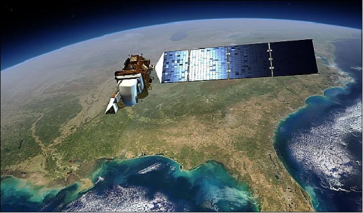
Landsat 8 Collection 2 European Coverage
terrain corrections applied and resampled for registration to a cartographic projection, referenced to the WGS84, G873, or current
Activity - Quality

EDAP
The following missions are currently being considered as part of the Automatic Identification System (AIS) and Radio Frequency
News - Success Stories

The Earthnet Programme: 40 years of evolution and future challenges
Giuseppe Ottavianelli Title: Current Earthnet TPM Programme Manager Description: Giuseppe Ottavianelli, Earthnet TPM Programme
Event - Workshop

IDEAS+ Cal/Val Workshop 7
Regular workshops are held every nine months with the whole IDEAS+ Task 3-Cal/Val team in order to review the status of current
News - Thematic area articles

How satellite data help to shape society
Title: Current drought situation in Ebro basin Description: The SMOS soil-moisture-based drought monitor is updated monthly
Event - Training

EO Summer School 4
Keynote lectures on global change issues are also given to discuss the current state of the science of global change and
Event - Workshop
VH-RODA 2021 Workshop
the Workshop will provide an open forum (new space, commercial and institutional) for the presentation and discussion of current
News - Events and Proceedings

Φ-Week Triumphs
Opening Session Title: Φ-Week's Opening Session Description: During the fourth edition of ESA’s Φ -Week, Josef Aschbacher, current
Document - User Guide

User Manual - LEDA 13 Landsat
This infosheet describes the Landsat databank. The databank is a catalogue of imagery remotely sensed by the Landsat series of satellites (Landsat l to 5) available at ESA/Earthnet and acquired at Fucino (Italy), Kiruna (Sweden) and Maspalomas (Canaries).
News - Data Release news
New Landsat-8 Collection-2 Level 1 and Level 2 data now available
The Online Dissemination service is still being populated, with the current availability of Collection-2 data as follows:
Activity - Quality
SLAP
Currently, in excess of 701,000 Level 1 TM and 84,000 Level 1 ETM+ products have been reprocessed and released under the
Event - Training
EO Summer School 3
In line with observations it shows anti-cyclonically rotating surface currents and cyclonically rotating bottom currents.
Document - General Reference

The Earth Observation Handbook, 2010 Update - Key Tables
This is the 2010 update of the CEOS Earth Observation Handbook. You can browse the live database at http://database.eohandbook.com/ or download the printable PDF of key tables based on the 2010 database contents for a handy reference.
Event - Training
EO Summer School 5
Keynote lectures on global change issues are also given to discuss the current state of the science of global change and
Document - Product Cal/Val Plan/Report

Landsat-Product-Radiometric-Calibration.pdf
This document reports the new calibration procedures for Landsat.
Document - Technical Note

Landsat 4-5 TM Image Assessment System Radiometric Algorithm Theoretical Basis Document
Document - Conference Presentation - Poster

EO-Summer-School-5-Poster-Tropical-Forests-Carbon-Dynamic-using-10-y-SPOT-VEGETATION-Time-Series-and-Land-Surface-Modelling.pdf
This poster from ESA's EO Summer School 5 is about tropical forests carbon dynamics using 10-y SPOT-VEGETATION time series and land-surface modelling
Tools - Visualisation
HEDAVI
ESA’s Heritage EO data currently cover more than 30 years of observations and enable the analysis of spatio-temporal dynamics