- All Categories (37)
- Data (1)
- News (5)
- Missions (2)
- Events (3)
- Tools (1)
- Activities (1)
- Documents (24)
Document - Proceedings

EO-Summer-School-8-Using-EO-to-understand-tectonic-processes.pdf
This presentation from ESA's EO Summer School 8 describes monitoring our dynamic, hazardous planet with Earth Observation
Document - Product Cal/Val Plan/Report

MBASSS-Landsat-8-Sentinel-2-Validation-Project-Final-Report-v1.pdf
MBASSS Sentinel-2/Landsat 8 Data Product Validation Project - Final Report
Document - Product Cal/Val Plan/Report
MBASSS-Landsat-8-detailed-project-plan-v1.pdf
MBASSS Landsat 8 Validation Project Detailed Project Planning Document
Document - Product Cal/Val Plan/Report
MBASSS-IDEAS-level-1-workshop2-2015.pdf
Mer Bleue Arctic Surrogate Simulation Site (MBASSS) CAL/VAL Workshop presentations
Document - Product Cal/Val Plan/Report
MBASSS-IDEAS-cal-val-workshop3-2016.pptx
Mer Bleue Arctic Surrogate Simulation Site (MBASSS) CAL/VAL Workshop presentations
Document - Product Cal/Val Plan/Report
MBASSS-IDEAS-cal-val-workshop5-2017.ppsx
Mer Bleue Arctic Surrogate Simulation Site (MBASSS) CAL/VAL Workshop presentations
News - Success Stories

Satellite data allows real-time detection of potential fires
availability, ESA is moving from the classical Landsat 8 L1 production towards the testing of new Real Time processing pilot that currently
News - Operational News

Landsat-8 web portal now available on new environment
Reprocessed (Tier 1 and Tier 2) products from Matera and Kiruna stations, May 2013 - December 2018; some time windows are currently
Tools - Visualisation
HEDAVI
ESA’s Heritage EO data currently cover more than 30 years of observations and enable the analysis of spatio-temporal dynamics
Event - Meeting

VH-RODA and CEOS SAR workshop
The workshop provided an open forum for the presentation and discussion of current status and future developments related
Event - Workshop

IDEAS+ Cal/Val Workshop 7
Regular workshops are held every nine months with the whole IDEAS+ Task 3-Cal/Val team in order to review the status of current
Activity - Quality

EDAP
The following missions are currently being considered as part of the Automatic Identification System (AIS) and Radio Frequency
Event - Workshop
VH-RODA 2021 Workshop
the Workshop will provide an open forum (new space, commercial and institutional) for the presentation and discussion of current
Mission - Third Party Missions
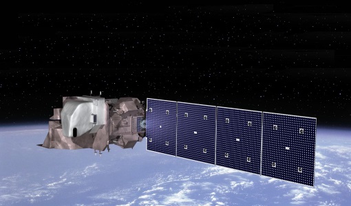
Operational Land Imager (OLI) Overview
Off-nadir imaging is currently only done at night for TIRS-calibration purposes when it does not impact Nadir day-time imaging
Document - Quality Report

Landsat-8 OLI/TIRS Monthly Report 01 Oct 2016
Note: A small degradation is observed in the early life of the sensor with no major impact for current products.
Document - Quality Report
Landsat-8 OLI/TIRS Monthly Report 01 Sep 2017
Note: A small degradation is observed in the early life of the sensor with no major impact for current products.
Document - Quality Report
Landsat-8 OLI/TIRS Monthly Report 01 Oct 2017
Note: A small degradation is observed in the early life of the sensor with no major impact for current products.
Document - Quality Report
Landsat-8 OLI/TIRS Monthly Report 01 Sep 2016
Note: A small degradation is observed in the early life of the sensor with no major impact for current products.
Document - Quality Report
Landsat-8 OLI/TIRS Monthly Report 01 Jun 2017
Note: A small degradation is observed in the early life of the sensor with no major impact for current products.
Document - Quality Report
Landsat-8 OLI/TIRS Monthly Report 01 Jan 2017
Note: A small degradation is observed in the early life of the sensor with no major impact for current products.