- All Categories (55)
- Data (17)
- News (11)
- Events (21)
- Campaigns (1)
- Documents (5)
NEWS
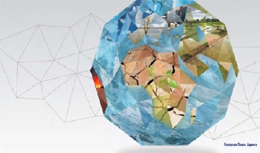
Discover the latest news on the European Space Agency's Earth Observation activities. Learn all about new data availability and how ESA's missions are performing.
News - Success Stories
 14 Mar 2024
How scientists are unlocking the potential of SAOCOM
A team of scientists has drawn on SAOCOM data to measure the heights of forests in Argentina, marking the first time that tree canopies have been mapped using the two-satellite constellation.
News - Thematic area articles
30 Jan 2024Space data support Earth’s ecosystems
ESA’s Earth observation (EO) missions are making a critical contribution to monitoring transformations in our planet’s ecosystems, helping track changes in the vegetation, soil, and ocean that affect these systems.
News - Thematic area articles
23 Mar 2023Remote sensing data underpin research on soil
Environmental data disseminated by ESA’s Earth observation programmes provide knowledge about the stresses on Earth’s soils – aiding many applications such as crop management, drought and flood forecasting, and ecosystem protection.
News - Thematic area articles
3 Mar 2023Monitoring water on Earth's surface
ESA's Earth observation satellites are playing a leading role in furthering our understanding of how Earth's terrestrial hydrosphere is being influenced by humankind.
News - Thematic area articles
9 Dec 2022Global understanding of Earth's land surfaces greatly boosted by satellite data
ESA perform land surface monitoring with a range of instruments onboard satellites acquiring optical and radar data. Collections of data from these missions are freely available for research purposes.
News - Success Stories
 27 Sept 2022
Heritage data trains neural networks to detect urban sprawl
Using data from non-operational ESA remote sensing missions, researchers have trained a network of artificial neurons to recognise how cities change over decades. They hope this will help city planners reduce the impact that urbanisation has on the environment.
News - Thematic area articles
 2 Feb 2022
Satellite data boost global understanding of land surface
Understanding our changing land surface is essential in the study of climate change. Satellites are used to monitor changes to the material that covers Earth’s surface, so-called land cover, such as vegetation and water.
News - Success Stories
 22 Dec 2020
Using Satellite Data to Predict Floods and Droughts
Scientists are turning to remote sensing to fill the in-situ data gap in hydrological data models in some parts of the world.
News - Success Stories
 10 Nov 2020
Publication of Coastal Current Intrusions from Satellite Altimetry
A new study entitled “Coastal current intrusions from satellite altimetry” has just been published in the journal Remote Sensing. This study comes from an international collaboration between the European Space Agency (ESA), MIO (Fr), CNR (It) and Serco (It) with the goal of monitoring coastal intrusions into the Gulf of Lion by analyzing multi-mission Satellite Altimetry data with Machine Learning methods
News - Data Release news
 8 Oct 2020
RADARSAT data on demand
In the framework of the Earthnet programme, ESA is distributing RADARSAT data on-demand to support EO science and research activities.
News - Success Stories
 22 Mar 2018
ESA forms new Earth observation advisory group
ESA forms new Earth observation advisory group on matters concerning Earth sciences included in ESA's Earth observation science programme.