- All Categories (61)
- Data (3)
- News (15)
- Missions (1)
- Events (25)
- Tools (1)
- Activities (1)
- Documents (15)
NEWS
Discover the latest news on the European Space Agency's Earth Observation activities. Learn all about new data availability and how ESA's missions are performing.
News - Events and Proceedings
Featuring the power of Earth observation data at EGU
The European Geosciences Union General Assembly 2024 brings together geoscientists from all over the world, aiming to provide a forum where scientists and early career researchers can present their work and discuss their ideas with experts, in all fields of geoscience.
News - Success Stories
Synergy of space data helps modernise irrigation systems
The growing demands on agriculture, coupled with the climate crisis, are pressurising Earth’s valuable freshwater resources and making assessment of water practices ever more important.
News - Success Stories
ESA missions help to reveal worldwide lake water loss trend
Climate change, human consumption and sedimentation are depleting more than half of the world’s biggest lakes of water, according to a ground-breaking analysis that drew on three decades of satellite data.
News - Thematic area articles
Remote sensing data map impacts of natural hazards
As climate change increases the frequency and severity of natural disasters, remote sensing data can warn about extreme events and help tackle emergency situations.
News - Events and Proceedings
Scientists to showcase value of Earth observation data at EGU
Remote sensing scientists are getting ready to present innovative and exciting applications of satellite data at the European Geosciences Union general assembly which will take place from 24 to 28 April in Vienna, Austria.
News - General News
ESA's excellent Earth Explorer missions extended to 2025
Since 2009, ESA’s Earth Explorer missions have pioneered breakthrough technologies and transformed our understanding of Earth’s system, from its core to the outer stretches of the atmosphere.
News - General News
Pioneering science missions: Summarising ESA’s Earth Explorers
Designed for research purposes, ESA's Earth Explorer missions are dedicated to monitoring parts of Earth’s system. Learn more about the Earth Explorers in this video.
News - Thematic area articles
Global understanding of Earth's land surfaces greatly boosted by satellite data
ESA perform land surface monitoring with a range of instruments onboard satellites acquiring optical and radar data. Collections of data from these missions are freely available for research purposes.
News - Data Release news
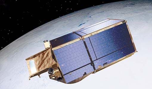
Updated CryoSat magnetometer data now available with new baseline 0201
An improved version of the CryoSat magnetic field data is now available on the Swarm Dissemination Server with new baseline 0201.
News - Thematic area articles
Satellite data central to ocean monitoring
Over 95% of Earth’s water is found in our oceans, and yet sadly, oceans are under stress from climate change and pollution. Monitoring our oceans is vital for Earth’s survival and satellites are the primary means of long-term and independent observation of our vast ocean bodies and their associated coastal zones.
News - Infographics
An overview of ESA's Third Party Missions programme
ESA’s Third Party Missions programme consists of almost 50 satellite missions, which are owned by organisations around the world. ESA has agreements with these organisations to acquire, process, and distribute data from their missions
News - Data Release news
New Campaign datasets available
A new set of datasets is available, acquired during airborne campaigns conducted between 2014 and 2019
News - Success Stories
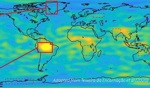
Gravity Field Models from Swarm data
In addition to its geomagnetic objectives, GPS receivers onboard Swarm can and have already been exploited to measure temporal variations in Earth's global gravity field.
News - General News
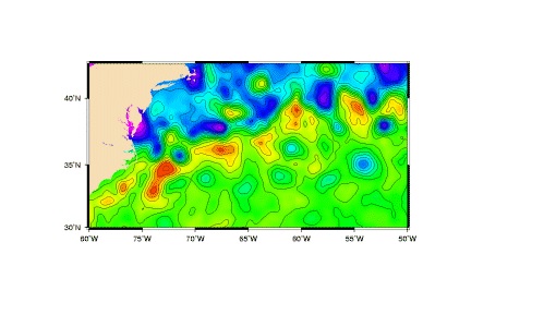
Satellite Radar Altimetry: past and future
Satellite radar altimetry measurements yield a wealth of information that can be used for a wide range of applications.
News - Data Release news
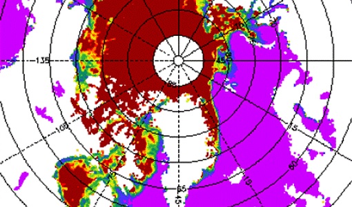
Eight years of SMOS Arctic sea ice thickness level now available from SMOS Data dissemination portal
Daily maps of sea ice thickness based on SMOS Observations, covering the winter seasons in the Arctic for the period of October-April from year 2010/2011 to year 2017/2018, are now available.


