- All Categories (414)
- Data (33)
- News (39)
- Missions (23)
- Events (15)
- Tools (4)
- Activities (3)
- Campaigns (2)
- Documents (295)
MISSIONS
Explore the European Space Agency's Earth Observation satellite missions. Learn all about ESA's dedicated Earth Explorers or collaborations with other agencies through the Third Party Missions programme.
Mission - Earth Watch

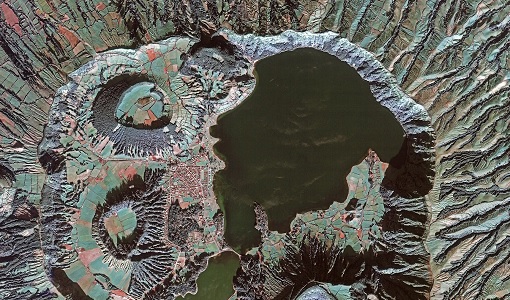
PROBA-V
The PROBA-V mission provides multispectral images to study the evolution of the vegetation cover on a daily and global basis.
Mission - Third Party Missions

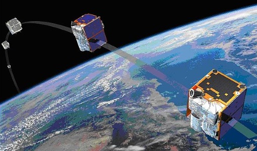
PROBA-1
PROBA-1 is a technology demonstration satellite that later became an operational Earth observation mission.
Mission - Heritage Missions

Envisat
Envisat was ESA's successor to ERS. Envisat carried ten instruments aboard for a wide range of Earth observing fields. The mission was operational from 2002 to 2012.
Mission - Heritage Missions

ERS
The ERS programme was composed of two missions, ERS-1 and ERS-2, which together observed the Earth for 20 years, from 1991 to 2011.
Mission - Third Party Missions
Vision-1
Launched on 16 September 2018, Vision-1 offers orthorectified products with resolution up to 87 cm in panchromatic mode and 3.48 in multispectral mode as standard.
Mission - Third Party Missions

WorldView-4
WorldView-4 was an imaging and environment-monitoring satellite from Maxar of the United States, which offered very high resolution imagery.
Mission - Heritage Missions

IRS-1C and IRS-1D
The Indian Remote Sensing satellites IRS-1C and IRS-1D were identical Earth-imaging satellites operated by the Indian Space Research Organisation.
Mission - Heritage Missions

Landsat Series
The Landsat Series is the world's longest running system of satellites for moderate-resolution optical remote sensing for land, coastal areas and shallow waters.
Mission - Heritage Missions

Landsat-1 to Landsat-3
The Landsat-1 to 3 satellites were the first in the United States' Landsat programme, dedicated to monitoring the Earth's land mass.
Mission - Heritage Missions
GEOSAT
The GEOSAT series consists of GEOSAT-1 and GEOSAT-2 missions. They are Earth imaging satellites. GEOSAT-2, a high resolution satellite, became the first European fully-private satellite capable of providing sub-metric multi-spectral imagery.
Mission - Heritage Missions

SPOT
The SPOT (from French "Satellite pour l'Observation de la Terre") series of missions has been supplying high-resolution, wide-area optical imagery since 1986.
Mission - Heritage Missions

SPOT 4
SPOT 4, like all the SPOT missions, was aimed at supplying high-resolution, wide-area optical imagery.
Mission - Heritage Missions

SPOT 3
SPOT 3, like all the SPOT missions, was aimed at supplying high-resolution, wide-area optical imagery.
Mission - Heritage Missions

SPOT 2
SPOT 2, like all the SPOT missions, was aimed at supplying high-resolution, wide-area optical imagery.
Mission - Heritage Missions

SPOT 1
SPOT 1 was designed to improve the knowledge and management of Earth's resources, detecting and forecasting phenomena involving climatology and oceanography, and monitoring human activities and natural phenomena.
Mission - Third Party Missions

IRS-R2 (ResourceSat-2)
IRS-R2 (ResourceSat-2) continues the remote sensing data services to global users provided by the ResourceSat-1 mission and also provides data with enhanced multispectral/ spatial coverage.
Mission - Heritage Missions
RapidEye
Together, the five RapidEye satellites were capable of collecting over 4 million square kilometres of 5 m resolution, 5-band colour imagery every day.
Mission - Third Party Missions

Pléiades
The Pléiades programme followed the SPOT programme satellite series, introducing advanced technologies in Earth observation.
Mission - Third Party Missions

Landsat-8
Landsat-8 is an Earth-imaging satellite from USGS and NASA which launched in 2013. The Landsat programme provides a global archive of satellite imagery.
Mission - Heritage Missions

JERS-1
The overall objectives of JERS-1 (Japanese Earth Resources Satellite) were the generation of global data sets with SAR and OPS sensors aimed at surveying resources, establishing an integrated Earth observation system