- All Categories (34)
- Data (2)
- News (3)
- Missions (2)
- Events (16)
- Tools (4)
- Activities (2)
- Documents (5)
Document - General Reference

MetOp-Monitoring-the-Weather-from-Polar-Orbit.pdf
This brochure describes in details the MetOp mission, the satellite and its instruments.
Document - General Reference
MetOp-A-Truly-Global-Picture-About-MetOp-mission-and-its-instruments.pdf
This flyer describes the MetOp mission and its instruments.
Document - Proceedings

EO-Summer-School-2-Stratospheric-ozone-satellite-observations-DA-and-forecasts.pdf
Stratospheric ozone: satellite observations, data assimilation and forecasts
Document - Conference Presentation - Poster

EO-Summer-School-5-Poster-Determining-tropospheric-ozone-columns-from-space-by-assimilation-of-GOME-2-ozone-profiles.pdf
This poster from ESA's EO Summer School 5 is for determining tropospheric ozone columns from space by assimilation of GOME-2 ozone profiles
Event - Conference

3rd ERS Symposium
The ESA Directorate for Observation of the Earth and its Environment held the 3rd ERS Symposium, in 1997, where many of the results from the ERS-1 and ERS-2 missions were presented and discussed by the scientific community.
Event - Workshop

10 Years of GOME on ERS-2 Workshop
The workshop summarised 10 years of operation of the Global Ozone Monitoring Experiment (GOME) on board ERS-2.
Event - Workshop
GEWEX / ESA DUE GlobVapour Quality Assessment of Water Vapour Data Sets Workshop
The workshop brought together the producers and users of water vapour data sets to define a useful water vapour data set for GEWEX.
Mission - Meteorological Missions

MetOp
MetOp is a mission dedicated to improving weather forecasts and monitoring Earth's climate.
News - Data Release news
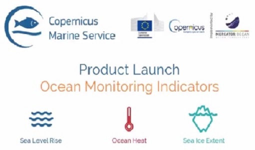
New Ocean Monitoring Indicators provide key reference for climate change
Copernicus Marine Service has released a new ocean information product. The Ocean Monitoring Indicators (OMIs) are free downloadable datasets.
Mission - Third Party Missions

Aura
NASA's Aura mission studies the chemistry and dynamics of Earth's atmosphere from the ground through the mesosphere.
Event - Workshop
Copernicus Sentinel-5 Precursor Validation Team Workshop
The purpose of the workshop was to gather feedback from the Sentinel-5P Validation Team (S5PVT) about the uncertainty characterisation of all Copernicus Sentinel-5P products.
Tools - Processing
Atmospheric Toolbox
The Atmospheric Toolbox (previously known as BEAT) is a collection of executable tools and API, developed to facilitate the utilisation, viewing and processing of e.g. GOMOS, MIPAS, SCIAMACHY and GOME data.
Data - Announcement of Opportunity (Restrained)

Closed ESA announcement of opportunities
Find out about closed ESA announcement of opportunities and what these opportunities involved, for historical reference.
Activity - Cal/Val activities

UV nadir viewing galleries
Atmospheric chemistry nadir observation from space now spans nearly forty years. The early UVN (UV nadir missions) mainly focused on measuring ozone.
Data - External Data (Restrained)
Aura OMI complete NASA dataset
The OMI observations provide the following capabilities and features: A mapping of ozone columns at 13 km x 24 km and profiles at 13 km x 48 km A measurement of key air quality components: NO2, SO2, BrO, HCHO, and aerosol The ability to distinguish between aerosol types, such as smoke, dust and sulfates The ability to measure aerosol absorption capacity in terms of aerosol absorption optical depth or single scattering albedo A measurement of cloud pressure and coverage A mapping of the global distribution and trends in UV-B radiation. The OMI data are available in the following four levels: Level 0, Level 1B, Level 2, and Level 3. Level 0 products are raw sensor counts. Level 0 data are packaged into two-hour "chunks" of observations in the life of the spacecraft (and the OMI aboard it) irrespective of orbital boundaries. They contain orbital swath data. Level 1B processing takes Level 0 data and calibrates, geo-locates and packages the data into orbits. They contain orbital swath data. Level 2 products contain orbital swath data. Level 3 products contain global data that are composited over time (daily or monthly) or over space for small equal angle (latitude longitude) grids covering the whole globe.
Tools - Visualisation
EVDC Orbit Prediction Tool
The EVDC Orbit Prediction and Overpass Tool generates and visualises satellite's overpasses.
News - Data Release news

GOME TCWV Climate product available online
GOME Total Column Water Vapour (TCWV) Climate product developed within the ESA GOME-Evolution project is now accessible from the ESA data archives together with the ERS-2 GOME data.
News - Data Release news

New ERS-2 GOME Level 1 v5.1 dataset available online
A new GOME Level 1b dataset has been generated for the 16-year mission period bringing relevant quality improvements for the revised calibration approach, compensating aging and instrument degradation, and provide enhanced accessibility.
Tools - Apps

Heritage Missions app for Android
Download the Heritage Missions application to discover what the missions were about, how it worked and what the elements of the space and ground segment that make these missions unique.