- All Categories (10)
- Data (1)
- News (5)
- Missions (1)
- Events (2)
- Documents (1)
News - General News
Go-to guide to Third Party Mission data offering
ESA’s latest Third Party Missions Data Access Guide has been published, providing technical details and information on available data collections for all current or past Third Party Missions.
Document - Newsletter
Earth Online Newsletter 01 December 2023
This issue of the Earth Online Newsletter covers a selection of the latest news and events from ESA.
News - Data Release news
PlanetScope and Skysat data available through ESA’s Third Party Missions Programme
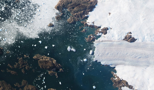
Through ESA’s Third Party Missions Programme, researchers, scientists and companies from around the world can apply to access Planet’s high-frequency, high-resolution satellite data for non-commercial use.
News - Success Stories
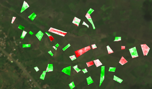
Predicting crop yield using Planet data
The world’s population continues to grow, while the climate crisis is raising Earth’s temperatures and increasing the likelihood of extreme weather events – all of which affect food security.
News - Infographics
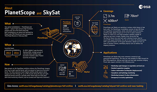
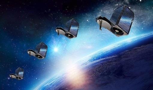
PlanetScope and SkySat - The high-resolution nanosatellite constellation
Find out more about the PlanetScope and SkySat missions in our new infographic.
News - Data Release news
New Campaign datasets available
A new set of datasets is available, acquired during airborne campaigns conducted between 2014 and 2019
Data - Project Proposal (Restrained)
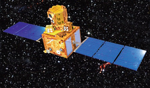
ResourceSat-2 full archive and tasking
ResourceSat-2 (also known as IRS-R2) archive and tasking products are available as below: Sensor Type Resolution (m) Coverage (km x km) System or radiometrically corrected Ortho corrected (DN) Ortho corrected (TOA reflectance) Neustralitz archive Global archive LISS-IV Mono-Chromatic 5 70 x 70 X X 2014 – 2011 - LISS-III Multi-spectral 20 140 x 140 X X X AWiFS Multi-spectral 60 370 x 370 X X X Note: LISS-IV: Mono-Chromatic, the band is selectable. In practice the red is used. For LISS-IV MN and LISS-III ortho corrected: If unavailable, user has to supply ground control information and DEM in suitable quality. For AWiFS ortho corrected: service based on in house available ground control information and DEM. The products are available as part of the GAF Imagery products from the Indian missions: IRS-1C, IRS-1D, CartoSat-1 (IRS-P5), ResourceSat-1 (IRS-P6) and ResourceSat-2 (IRS-R2) missions. 'ResourceSat-2 archive and tasking' collection has worldwide coverage: for data acquired over Neustrelitz footprint, the users can browse the EOWEB GeoPortal catalogue to search archived products; worldwide data (out the Neustrelitz footprint) can be requested by contacting GAF user support to check the readiness since no catalogue is not available. All details about the data provision, data access conditions and quota assignment procedure are described in the Terms of Applicability.
Event - Meeting
VH-RODA and CEOS SAR workshop
The workshop provided an open forum for the presentation and discussion of current status and future developments related to the calibration and validation of space borne very high-resolution SAR and optical sensors and data products.
Mission - Third Party Missions
SkySat
SkySat is a constellation of high-resolution Earth imaging satellites from the commercial company Planet Labs.
Event - Training
Advanced Training Course in Land Remote Sensing 2012
The 2012 advanced training course focused on land remote sensing theory and applications.

