- All Categories (979)
- Data (4)
- News (7)
- Missions (4)
- Events (1)
- Tools (1)
- Activities (2)
- Campaigns (1)
- Documents (959)
Document - User Guide
User Manual - LEDA 13 Landsat
This infosheet describes the Landsat databank. The databank is a catalogue of imagery remotely sensed by the Landsat series of satellites (Landsat l to 5) available at ESA/Earthnet and acquired at Fucino (Italy), Kiruna (Sweden) and Maspalomas (Canaries).
News - Data Release news
Updated Precise Orbit data (POD) for the full ERS-1 and ERS-2 mission available
The Precise Orbit files (ERS.ORB.POD) for the entire ERS-1 and ERS-2 mission periods have been reprocessed with up-to-date standards.
Document - General Reference
TIGER Initiative - Looking After Water in Africa
This brochure presents images from the second TIGER Workshop, held in Pretoria from 08 to 10 November 2004. The images show locations in Africa acquired by Meteosat-8, Envisat's ASAR and MERIS instruments and Proba-1's HRC instrument.
Document - User Guide
Third Party Missions, Cat-1 Data Availability
This brochure gives a quick overview on the availability of the Third Party Missions IRS-P3, JERS-1, NIMBUS, Proba, Landsat, KOMPSAT-1, SCISAT-1, Terra/Aqua, NOAA, QSCAT, OrbView, SPOT-1,-2,-3,-4, ALOS.
Campaign
THERMOPOLIS
The THERMOPOLIS 2009 campaign mainly served the DUE “Urban Heat islands (UHI) and Urban Thermography (UT) Project”
Data - Campaigns (Open)
THERMOPOLIS
The THERMOPOLIS 2009 campaign mainly served the DUE “Urban Heat islands (UHI) and Urban Thermography (UT) Project”
Document - General Reference
The Nine Candidate Earth Explorer Missions - Land-Surface Processes and Interactions Mission
This report for assessment addresses the Land-Surface Processes and Interactions mission when it was selected with other nine Earth Explorer missions as a potential candidate for Phase A study.
Document - General Reference
The four Candidate Earth Explorer Core Missions - Land-Surface Processes and Interactions Mission
This report describes the Land-Surface Processes and Interactions Mission, one of the four Candidate Earth Explorers in 1999.
Document - General Reference
The Earth Observation Handbook, 2010 Update - Key Tables
This is the 2010 update of the CEOS Earth Observation Handbook. You can browse the live database at http://database.eohandbook.com/ or download the printable PDF of key tables based on the 2010 database contents for a handy reference.
News - Success Stories
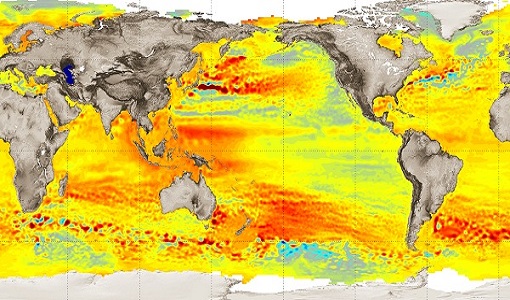
Spotlight on sea-level rise
Scientists to share findings on how satellite has revealed changes in the height of the sea, ice, inland bodies of water and more.
Document - General Reference
SPECTRA-Surface-Processes-and-Ecosystem-Changes-Through-Response-Analysis.pdf
This report describes the SPECTRA mission, one of the candidate Earth Explorers in the second cycle in 2001.
Document - General Reference
Space-Technologies-for-Water-Resources-Management-in-Africa.pdf
This brochure presents images from Envisat's MERIS and ASAR instruments of locations in Africa, as presented at the TIGER Workshop in Rabat, Morocco, from 06 to 08 October 2003.
Document - General Reference
SMOS-ESAs-Water-Mission-Fact-sheet.pdf
This document provided a series of information on the SMOS mission.
Activity - Quality
SLAP
The SLAP (Systematic Landsat Archive Processing) project covers the MSS, TM and ETM+ products from Landsat missions 1 – 7, and is the first systematic reprocessing of the ESA Landsat archive.
News - Data Release news
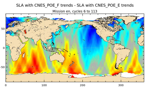
Release of new Envisat DORIS Precise Orbit data
A new version of the Envisat Precise Orbit products has been generated by the Centre de Traitement Doris Poseidon (CTDP) using the Geophysical Data Records F standards (GDR-F). The new dataset (DOR_VOR_AX vF) is now available to users in Envisat format from the ESA dissemination service.
Document - Technical Note
Radar-Altimeter-Ground-Processing-Requirement.pdf
This document defines the Fast Delivery Ground Processing Algorithm Requirements for the ERS-1 Radar Altimeter. It does not include the basic tasks of decoding the telemetry stream, and assumes that the relevant parameters have been extracted for ingestion into the algorithms presented here.
Document - Technical Note
RA-Characterisation-Data.pdf
This document can be regarded as a first issue of the long-awaited RA Characterisation Database. It contains values for all parameters which have been requested, except for some special cases which will be explained later. It contains many other parameters as well. For example it also contains all the parameters used in the LRDPF (and referred to in ER-RP-DSF-SY-0007) except for the parameters forseen to be updated frequently, such as the barometric pressure field (which will come from ECMWF).
Document - Technical Note
PDS-to-FS-and-NS-Interface-Specification.pdf
This document describes the interfaces between the Foreign Stations (FS) and National Stations (NS) and the PDS. It defines the design of these interfaces. It includes all types of interfaces, electronic and non-electronic (e.g operational) ones.
Document - General Reference
Operational-Atmospheric-Correction-of-Landsat-TM-Imagery.pdf
This article is extracted from Earth Observation Quarterly Nr.56-57 of December 1997. It describes the atmospheric correction method of ESA Landsat Thematic Mapper (TM) product line.
Document - Technical Note
On-orbit Attitude Control and Determination System (ACDS) Performance of the Landsat 7 Spacecraft


