- All Categories (57)
- Data (2)
- News (9)
- Missions (5)
- Events (1)
- Tools (1)
- Activities (6)
- Documents (33)
Document - Proceedings
ERS-Envisat-symposium-proceedings.pdf
This document contains the proceedings of the ERS-Envisat Symposium, which took place in 2000.
Mission - Third Party Missions
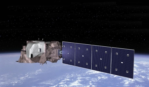
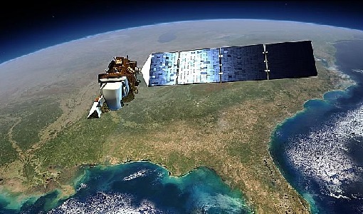
Landsat-8
Landsat-8 is an Earth-imaging satellite from USGS and NASA which launched in 2013. The Landsat programme provides a global archive of satellite imagery.
News - Success Stories
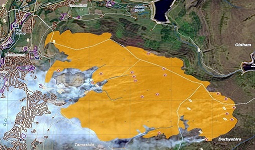
Satellite data allows real-time detection of potential fires
A pilot Fire Detection Service, based on real-time processing of Landsat-8 data being assessed within the framework of ESA's Earthnet Programme.
News - Operational News
Landsat-8 web portal now available on new environment
The Landsat-8 Portal service has been migrated to a new server and is accessible on the previous web address.
Activity - Projects
Auroral Electrojet and auroral Boundaries estimated from Swarm observations
In the Swarm-AEBS project, a set of new Swarm data products that characterise the auroral electrojets and auroral oval boundaries will be derived from Swarm magnetic field measurements.
Activity - Cal/Val activities
MBASSS
Mer Bleue Arctic Surrogate Simulation Site (MBASSS) Sentinel-2 and Landsat 8 Validation Project objectives are to develop capability to validate Landsat 8 Operational Land Imager land data products.
Activity - Quality
EDAP
The ESA Earthnet Data Assessment Pilot (EDAP) project will perform assessments for various missions to ensure the delivered data is fit for purpose.
Tools - Other
Swarm-Aurora
Swarm-Aurora, a web-based tool, was designed to facilitate and drive the use of Swarm in-situ measurements in auroral science.
Mission - Heritage Missions
Landsat Series
The Landsat Series is the world's longest running system of satellites for moderate-resolution optical remote sensing for land, coastal areas and shallow waters.
Mission - Earth Explorers
GOCE
ESA's Gravity field and Ocean Circulation Explorer (GOCE) mission mapped Earth's geoid very accurately, opening a window into Earth's interior structure as well as the currents circulating within the depths of its oceans.
Mission - Earth Explorers
Swarm
Swarm is dedicated to creating a highly detailed survey of Earth’s geomagnetic field and its temporal evolution as well as the electric field in the atmosphere using a constellation of three identical satellites.
Event - Conference
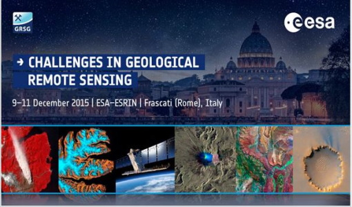
GRSG 2015 Conference
The 26th Annual GRSG Conference 'Challenges in Geological Remote Sensing' focused on a wide range of remote sensing applications, tools, latest developments and sensors.
Mission - Copernicus Sentinels
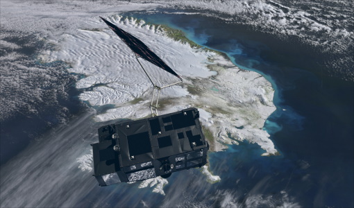
Copernicus Sentinel-3
Copernicus Sentinel-3 is an European Earth Observation satellite mission developed to support Copernicus ocean, land, atmospheric, emergency, security and cryospheric applications.
Document - Quality Report
Landsat-8 OLI/TIRS Monthly Report 01 Sep 2016
Landsat-8 OLI/TIRS Monthly Report
Document - Quality Report
Landsat-8 OLI/TIRS Monthly Report 01 Sep 2017
Landsat-8 OLI/TIRS Monthly Report
Document - Quality Report
Landsat-8 OLI/TIRS Monthly Report 01 Sep 2015
Landsat-8 OLI/TIRS Monthly Report
Document - Quality Report
Landsat-8 OLI/TIRS Monthly Report 01 Oct 2016
Landsat-8 OLI/TIRS Monthly Report
Document - Quality Report
Landsat-8 OLI/TIRS Monthly Report 01 Oct 2015
Landsat-8 OLI/TIRS Monthly Report
Document - Quality Report
Landsat-8 OLI/TIRS Monthly Report 01 Oct 2017
Landsat-8 OLI/TIRS Monthly Report
Document - Quality Report
Landsat-8 OLI/TIRS Monthly Report 01 Nov 2015
Landsat-8 OLI/TIRS Monthly Report
