- All Categories (779)
- Data (8)
- News (9)
- Missions (5)
- Events (3)
- Tools (3)
- Activities (4)
- Campaigns (4)
- Documents (743)
Event - Meeting
20th GHRSST Science Team Meeting
The 20th GHRSST International Science Team meeting in 2019 brought together sea surface temperature experts to look at future innovations.
Document - Proceedings
2nd-International-GOCE-User-Workshop.pdf
This document describes the proceedings of the 2nd International GOCE User workshop held at the ESA-ESRIN Site, Frascati, Italy, 8-10 March 2004.
Document - Proceedings
4th-International-GOCE-User-Workshop.pdf
Proceedings of the 4th International GOCE User Workshop held on 31 March - 1 April 2011 at the Technische Universitat Munich, Germany
Document - Conference Presentation - Poster
8-Use_SAR_observing_Polar_lows.pdf
Use of SAR in observing Polar lows Birgitte Furevik (Norwegian Meteorological Inst., Norway)
Document - General Reference
A-Jewel-in-ESAs-Crown-GOCE-and-its-Gravity-Measurement-Systems.pdf
This article is extracted from ESA Bulletin Nr. 133
Document - Proceedings
Abstracts-of-2nd-International-GOCE-User-Workshop.pdf
This volume collects the abstracts of the papers presented at the GOCE User Workshop, held on 8-10 March 2004 at ESA ESRIN, Frascati Italy.
Document - Publication - Paper
Advanced Scatterometer Processing System for ERS data
ASPS System and Product description presented at the ERS-ENVISAT Symposium Salzburg 2004: The Advanced Scatterometer Processing System for ERS Data: Design, Products, and Performances
Event - Training
Advanced Training Course in Ocean Remote Sensing 2011
Within the framework of the Dragon Programme, a joint collaboration between the European Space Agency (ESA) and the Chinese Ministry of Science and Technology (MOST), ESA and NRSCC are providing a series of advanced thematic training courses on remote sensing applications hosted by university and research institutions in P.R. China.
Campaign
AfriScat
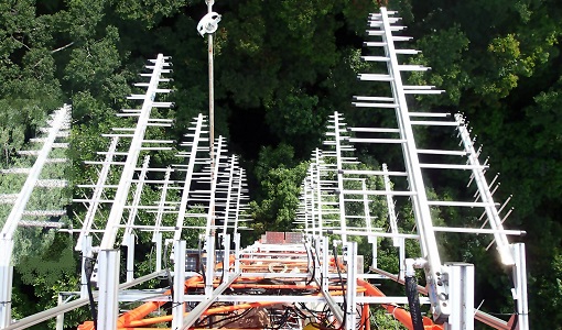
AfriScat campaign, a follow on to TropiSCAT campaign, was to acquire long-term P-Band radar data in an African tropical forest.
Data - Campaigns (Open)
AfriScat
AfriScat campaign, a follow on to TropiSCAT campaign, was to acquire long-term P-Band radar data in an African tropical forest.
Campaign
AirScatterGNSS
In this project an Airborne Wind Vector Scatterometer (AWVS) system was designed and built for measurements of sea surface backscattering from an aircraft.
Data - Campaigns (Open)
AirScatterGNSS
In this project an Airborne Wind Vector Scatterometer (AWVS) system was designed and built for measurements of sea surface backscattering from an aircraft.
Document - Publication - Paper
Amazon-rainforest-backscattering-during-the-ERS-2-Scatterometer-mission.pdf
Paper presented at ASAR workshop 2003 Amazon Calibration session: On the stability of Amazon rainforest backscattering during the ERS-2 Scatterometer mission lifetime.
Document - Software Verification Plan/Report
An-assessment-of-ERS-SAR-Low-Resolution-Imagery.pdf
The objective of this technical note is to describe and to analyse the various concepts associated with the ERS SAR low resolution imagery. This study is done in order to evaluate a range of products, to consider the trade-offs involved in product specification and to propose some recommendations fro low resolution imagery of quality suitable for a broad range of potential applications.
Document - Software Verification Plan/Report
An-investigation-of-the-error-characteristics-of-the-GOCE-geoid-models.pdf
This report presents an initial investigation into the error characteristics of the GOCE gravity field models as they are realised in the calculated geoid anomalies.
Document - General Reference
An-oceanographers-guide-to-GOCE-and-the-geoid.pdf
This article was published in Ocean Science Discussions. It gives a review of the geodetic concepts necessary for oceanographers to make use of satellite gravity data to define the geoid, and to interpret the resulting product.
Data - Announcement of Opportunity (Restrained)
Announcement of Opportunity for S3VT (Sentinel-3 Validation Team)
In the framework of a Copernicus collaborative agreement ESA and EUMETSAT invite interested groups and individuals to support the Sentinel-3 Validation Team (S3VT).
Campaign
AROMAT-I
The main objective of this AROMAT-I campaign was to test newly developed airborne sensors and to evaluate their capabilities as validation tools for future air quality space borne sensors, in particular TROPOMI.
Data - Campaigns (Open)
AROMAT-I
The main objective of this AROMAT-I campaign was to test newly developed airborne sensors and to evaluate their capabilities as validation tools for future air quality space borne sensors, in particular TROPOMI.
Campaign
AROMAT-II
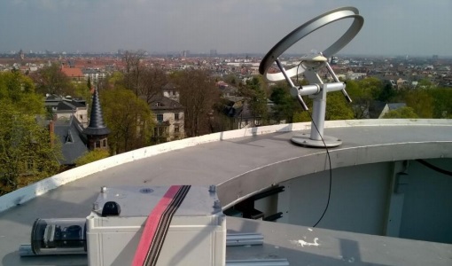
This campaign covers the fields of atmospheric composition: NO2, SO2, aerosols, over Romania (Bucharest and Turceni) and Germany (Berlin).


