- All Categories (66)
- Data (5)
- News (36)
- Missions (2)
- Events (4)
- Tools (4)
- Activities (2)
- Documents (13)
Event - Workshop
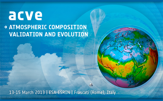
ACVE: Atmospheric Composition Validation and Evolution workshop
ACVE: Atmospheric Composition Validation and Evolution workshop
Document - Proceedings

Advances-in-Atmospheric-Science-and-Applications.pdf
Proceedings in Advances in Atmospheric Science and Applications held in 18-22 June 2012 in Bruges, Belgium.
News - Infographics

An overview of ESA's Third Party Missions programme
ESA’s Third Party Missions programme consists of almost 50 satellite missions, which are owned by organisations around the world. ESA has agreements with these organisations to acquire, process, and distribute data from their missions
News - Success Stories

Atmosphere-studying Odin mission enjoys ongoing success
More than two decades after it began operations, the Odin remote sensing satellite is continuing to make strong contributions to high-impact atmospheric science.
Event - Conference

Atmospheric Science Conference 2009
The 2009 conference was dedicated to the theme atmosphere to provide scientists and data users with the opportunity to present first-hand and up-to-date results from their ongoing research activities on the atmospheric payload of the satellites ERS-2 and Envisat as well as ESA Third Party Missions.
Document - General Reference

BIOMASS-Report-for-Mission-Selection-An-Earth-Explorer-to-observe-forest-biomass.pdf
The objective of the BIOMASS Mission is to determine the global distribution of forest biomass by reducing the uncertainty in the calculation of carbon stock and fluxes associated with the terrestrial biosphere.
News - Success Stories
Commercial space data help to regreen grasslands in Africa
Commercial satellite imagery made available through ESA’s Third Party Missions programme is guiding an ambitious community-focused initiative to regrow natural grasslands in Sub-Saharan Africa.
Document - General Reference
CoReH2O-Report-for-Mission-Selection-An-Earth-Explorer-to-observe-snow-and-ice.pdf
This report describes the CoReH2O (Cold Regions Hydrology high-resolution Observatory) mission, which was selected for feasibility study in the third cycle of Earth Explorers.
Activity - Quality

EDAP
The ESA Earthnet Data Assessment Pilot (EDAP) project will perform assessments for various missions to ensure the delivered data is fit for purpose.
Event - Workshop

Envisat Validation Workshop 2002
The workshop covered various aspects of validation of the Envisat instruments.
Tools - Analysis

ESA PDGS Jupyter Notebook
A series of Jupyter Notebooks are available, in order to understand how to exploit the API that provides the data access service for different types of datasets included in the ESA PDGS datacube.
News - Infographics

ESA Third Party Missions timeline
We've released a new timeline to illustrate the history of the ESA Third Party Missions.
News - General News

ESA's new DataCube service is now available
ESA is pleased to announce the deployment of a new service, called ESA PDGS-DataCube, enabling multi-temporal and pixel-based access to a subset of the data available in the European Space Agency dissemination services.
Document - Data Access Information

ESA-archive-third-party-mission-collections.pdf
Discover the ESA archive data collections offered for the Third Party Missions programme.
News - General News

ESA’s Earth Observation Catalogue and its services
EO-CAT is the EO Catalogue tool allowing users to search ESA and Third Party Mission collections.
Tools - Visualisation
EVDC Orbit Prediction Tool
The EVDC Orbit Prediction and Overpass Tool generates and visualises satellite's overpasses.
News - Infographics
Explore sample data products from Third Party Missions
ESA’s Third Party Missions programme consists of over 50 satellite missions from commercial and public organisations worldwide.
News - Infographics
Focusing on the PlanetScope ESA archive
Learn more about the PlanetScope ESA Archive in our latest infographic.
Tools - Other

Forestry TEP
The Forestry Thematic Exploitation Platform (TEP) enables users in the forestry sector to access satellite data based processing services and tools for generating value-added forest information products.
News - Thematic area articles
Global understanding of Earth's land surfaces greatly boosted by satellite data
ESA perform land surface monitoring with a range of instruments onboard satellites acquiring optical and radar data. Collections of data from these missions are freely available for research purposes.