- All Categories (1181)
- Data (9)
- News (13)
- Missions (5)
- Events (2)
- Tools (2)
- Activities (3)
- Campaigns (1)
- Documents (1146)
Document - User Guide
User Manual - LEDA 13 Landsat
This infosheet describes the Landsat databank. The databank is a catalogue of imagery remotely sensed by the Landsat series of satellites (Landsat l to 5) available at ESA/Earthnet and acquired at Fucino (Italy), Kiruna (Sweden) and Maspalomas (Canaries).
Document - User Guide
Third Party Missions, Cat-1 Data Availability
This brochure gives a quick overview on the availability of the Third Party Missions IRS-P3, JERS-1, NIMBUS, Proba, Landsat, KOMPSAT-1, SCISAT-1, Terra/Aqua, NOAA, QSCAT, OrbView, SPOT-1,-2,-3,-4, ALOS.
Campaign
THERMOPOLIS
The THERMOPOLIS 2009 campaign mainly served the DUE “Urban Heat islands (UHI) and Urban Thermography (UT) Project”
Data - Campaigns (Open)
THERMOPOLIS
The THERMOPOLIS 2009 campaign mainly served the DUE “Urban Heat islands (UHI) and Urban Thermography (UT) Project”
Document - Technical Note
The RA-2 On-Board Tracker and its Autonomous Adaptable Resolution
This technical note describes the complete functionality of the RA-2 on-board Tracker and how its Resolution Selection Logic (RSL) works. It gives a detailed analysis of the algorithm and its configuration parameters.
News - Success Stories
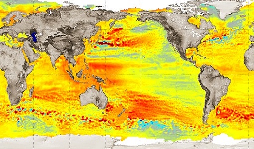
Spotlight on sea-level rise
Scientists to share findings on how satellite has revealed changes in the height of the sea, ice, inland bodies of water and more.
Activity - Quality
SLAP
The SLAP (Systematic Landsat Archive Processing) project covers the MSS, TM and ETM+ products from Landsat missions 1 – 7, and is the first systematic reprocessing of the ESA Landsat archive.
Activity - Quality
SCIRoCCo
The SCIRoCCo project is an interdisciplinary cooperation of scatterometry experts aimed at promoting the continuing exploitation of ESA's unique 20 years' worth of ERS Scatterometer data.
Document - General Reference
Operational-Atmospheric-Correction-of-Landsat-TM-Imagery.pdf
This article is extracted from Earth Observation Quarterly Nr.56-57 of December 1997. It describes the atmospheric correction method of ESA Landsat Thematic Mapper (TM) product line.
Document - Technical Note
On-orbit Attitude Control and Determination System (ACDS) Performance of the Landsat 7 Spacecraft
Document - Technical Note
ngEO Browse Report File Generic Interface (BRGICD)
Statistical description of the ngEO Generic Browse Report File.
News - Data Release news
New reprocessing of datasets celebrates 30 years of ERS
The ERS programme celebrated its 30th anniversary on 17 July. Today, we are still exploiting ERS data and experts continue to work on improving the altimeter, radiometer and SAR data the programme acquired.
News - Data Release news
New reprocessed Landsat data on a new dissemination server
The full ESA Landsat archive has been reprocessed with the latest version of the processor to provide a homogenous dataset covering MSS, TM and ETM+ data.
News - Success Stories
New life for Landsat historical data
45 years of data, more than 1.8 million images, these are the numbers of an adventure started 48 years ago with the launch of the first Landsat satellite.
Document - Technical Note
MSS-Quality-Assessment.pdf
Presentation assessing the accuracy of the radiometric calibration and geolocation of Landsat MSS products.
Document - Technical Note
Landsat-to-Ground-Station-Interface-Description.pdf
Landsat to Ground Station Interface Description.
Document - Algorithms Theoretical Baseline Document
Landsat-TM-Data-Format-Control-Book-DFCB.pdf
This document describes the algorithms, radiometric and geometric processing of the European Space Agency (ESA) Landsat Multispectral Scanner (MSS), Thematic Mapper (TM) and Enhanced Thematic Mapper Plus (ETM+) products. It is intended to point towards useful resources for more information rather than provide full descriptions of the specific algorithms used during the processing.
Document - Product Cal/Val Plan/Report
Landsat-Product-Radiometric-Calibration.pdf
This document reports the new calibration procedures for Landsat.


