- All Categories (23363)
- Data (23)
- News (66)
- Missions (2)
- Events (5)
- Tools (6)
- Activities (2)
- Campaigns (4)
- Documents (23255)
Document - General Reference

Satellite-Data-in-Hydrology-Experience-with-ERS.pdf
This document is aimed at both current and potential users of ERS data in hydrology. It demonstrates the existing uses of ERS data in this field, considers the potential for further development and examines the issues effecting hydrological application of ERS data specifically.
Document - General Reference
Monitoring-River-and-Lake-Levels-from-Space.pdf
This article was published in the ESA Bulletin Nr. 117 and describes the new global river and lake monitoring products developed by ESA with the help of De Monfort University (UK).
Document - General Reference
Taking-the-Measure-of-Earth-Fifteen-Years-of-Progress-in-Radar-Altimetry.pdf
This article is extracted from ESA Bulletin Nr. 128.
Document - Proceedings

EO-Summer-School-3-Satellite-radar-21st-century-glaciology.pdf
This presentation from ESA's EO Summer School 3 describes Satellite radar – 21st century glaciology
Document - Proceedings
EO-Summer-School-3-Satellite-radar-21st-century-glaciology.pdf
This presentation from ESA's EO Summer School 3 describes Satellite radar – 21st century glaciology
Event - Workshop

CryoSat 2005 Workshop
The workshop provided new and familiar users of the mission with a detailed understanding of the mission status and projected performance at launch, and provided the first presentation to users of the processing algorithms.
Event - Training

3rd Advanced Training Course on Land Remote Sensing 2011
This 2011 advanced ESA training course focused on land remote sensing theory and applications.
Event - Training
Advanced Training Course in Land Remote Sensing 2012
The 2012 advanced training course focused on land remote sensing theory and applications.
News - Events and Proceedings

Seventh CryoSat Quality Working Group meeting - final report
The 7th CryoSat Quality Working Group (QWG) meeting Summary and Recommendation Report are available to download.
Document - Proceedings
2004 Envisat and ERS Symposium
The 2004 Envisat and ERS Symposium was held in Salzburg - Austria from 6 to 10 September 2004. The 2004 Envisat and ERS Symposium provided a forum for investigators to present results of ongoing research project activities and assess the development of applications and services.
Event - Conference

CryoSat 10th Anniversary Science Conference
The conference focussed on the latest scientific results from the mission, it was also a celebration of the remarkable contribution CryoSat has made to our understanding of the cryosphere.
Activity - Quality
SCIRoCCo
The SCIRoCCo project is an interdisciplinary cooperation of scatterometry experts aimed at promoting the continuing exploitation of ESA's unique 20 years' worth of ERS Scatterometer data.
Mission - Heritage Missions

ERS
The ERS programme was composed of two missions, ERS-1 and ERS-2, which together observed the Earth for 20 years, from 1991 to 2011.
Mission - Earth Explorers

CryoSat
CryoSat determines variations in the thickness of continental ice sheets and marine ice cover. Europe's first ice mission is an advanced radar altimeter specifically designed to monitor the most dynamic sections of Earth's cryosphere.
News - Data Release news

Updated CryoSat magnetometer data now available
An improved version of the CryoSat magnetic field data (version 0102) is now available in the "#CryoSat-2" folder of the ESA FTP server.
Data - Campaigns (Open)
CryoVEx 2003
The CryoVEx (CryoSat Validation EXperiment) 2003 campaign was a first comprehensive Arctic Ocean airborne and surface campaign, in support of the ESA satellite CryoSat, planned for launch late 2004.
Data - Campaigns (Open)
CryoVEx 2004
CryoVex 2004 was the second combined airborne and surface campaign for the preparation of the CryoSat mission, after successful completion of CryoVex 2003 by DTU.
Data - Campaigns (Open)
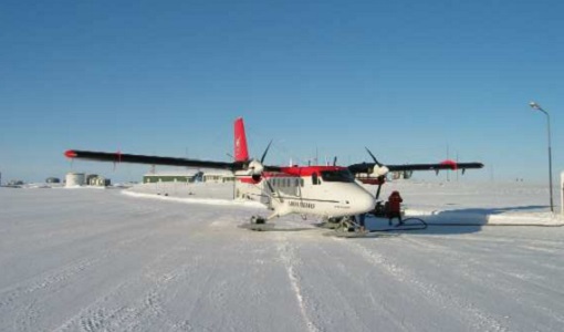
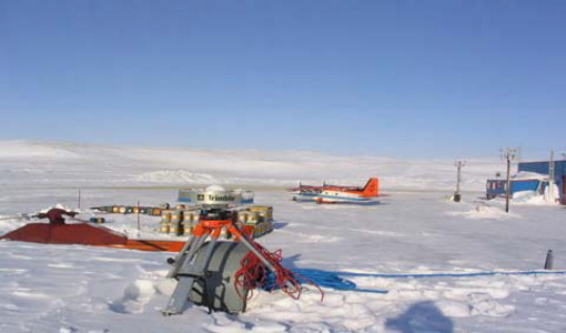
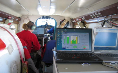
CryoVEx 2005
CryoVEx 2005 was the third combined airborne and surface campaign for the preparation of the CryoSat mission. It followed the 2004 campaign, which first utilised the new ASIRAS radar.
Data - Campaigns (Open)
CryoVEx 2006
CryoSat Validation Experiment (CryoVEx) 2006 was carried out between 18 April and 18 May 2006 in the Arctic.